Murrumbidgee River

Murrumbidgee River
- Boat Ramps
- 12
- Access Points
- 2
- Campsites
- 46
The Murrumbidgee River rises from the Great Dividing Range near Kiandra in New South Wales, flows through the Australian Capital Territory, and then turns inland as part of the Murray-Darling Basin, eventually joining the Murray River near Boundary Bend. The full paddleable length from Burrinjuck Dam to the Murray River junction has been measured at approximately 1,078 km by GPS, with paddlers averaging around 31 km per day and capable of covering up to 53 km in a single day on favorable sections.
The river is heavily regulated, supplying irrigation water to the NSW Riverina farmlands. In summer, flows at the upper sections can exceed 10,000 ML/day, but diminish significantly downstream due to multiple irrigation outflows. The lower section below Balranald can become difficult with flows under 500 ML/day common in summer. In winter, many irrigation outflows are reduced or stopped, which affects flow dynamics throughout the system. Paddlers should monitor NSW Water Information gauges before and during any trip.
The upper section near Burrinjuck Dam offers whitewater paddling at Childowlah, a few kilometres downstream of the dam near Yass. These Grade Two rapids are separated by calm pools, making them suitable for training and skill development. Water releases from Burrinjuck Dam are required for this section to be viable. There is a notable play wave near Nanangreo Reserve. Further downstream, the river transitions to gentler character through the Gundagai area, with pebble-bar rapids and a current that can push paddlers along at around 6 km/h at moderate flows. Low flows can expose rocky reefs and shallow sections, requiring careful line selection and occasional portaging, particularly above Narrandera.
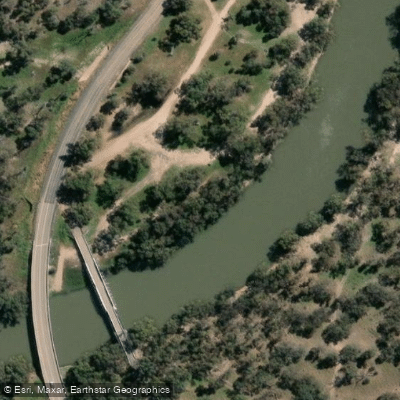
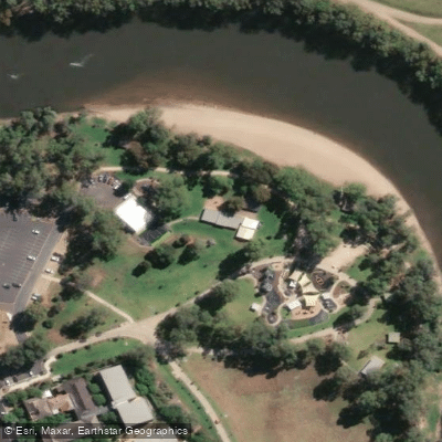
Access points include North Gundagai, where a boat ramp is located 700 m past the Jones Creek Bridge, and Sandy Beach at Wantabadgery near Junee, which has a boat ramp and is suitable for camping and caravanning. Numerous Crown Land reserves along the trail provide camping opportunities, though paddlers are advised to carry their own drinking water. Visitors are responsible for removing their own rubbish. The Riverina region is subject to Fruit Fly Exclusion Zone regulations, and paddlers should observe relevant signage and use roadside disposal bins when transporting fruit.
Wildlife is present throughout the corridor, and the river passes through areas of significant natural and historical interest, including Murrumbidgee Valley National Park. Before entering the water, paddlers should check depth, current strength, and submerged hazards at any given access point.
Water access, boat ramps & amenities
Learn how to get on Murrumbidgee River. Uncover great paddling access points, boat ramps, and all the facilities you need for an unforgettable day on the water. Some locations shown may border or include private property. Always check property boundaries and applicable regulations before visiting. PaddleWays's Public & Private Land layer can help you plan your access with confidence.
Paddle smarter with real-time insights
Whether you're en route and conditions shift or you're looking for the best spot based on current flows, we enable you to make informed decisions on the fly.








Find Places to Paddle

Over 400,000 Places to Paddle
Every user gets free access to launch points, boat ramps, and public property parcels.


Water and weather conditions (10 day forecast)
See the best times to paddle Murrumbidgee River and check the forecast before you go.
Murrumbidgee River At Wagga Wagga
All Flow Stations
Paddling near Murrumbidgee River
Murray River
Kiewa River
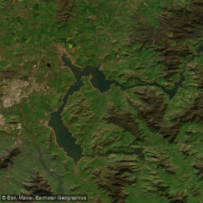
Lake Hume
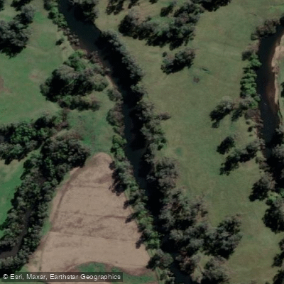
Mitta Mitta River
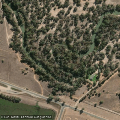
Billabong Creek
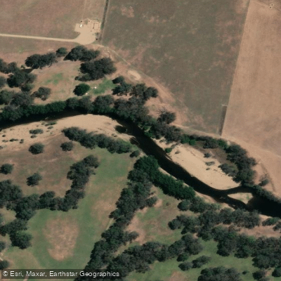
Ovens River
Buffalo Creek
Murray River
Back Creek
Murray River
Explore New South Wales waters
Top paddling waters
No waters available right now.
Popular Cities
Loading popular cities...
Explore near Murrumbidgee River
Access points
- 4 Mile Boat Ramp
- Berembed Weir Boat Ramp
- Darlington Point Boat Ramp (Old)
- Darlington Point Boat Ramp (Riverside Caravan Park)
- Euroley Bridge Boat Ramp
- Gundagai
- Narranderra
- Sandy Point Rd Hay
- Soapworks Bend Boat Ramp
- Sturt Highway Bridge Boat Ramp, Balranald (Caravan Park)
- Wiradjuri Reserve Boat Ramp
- Yanco Weir
- All 60 spots
Nearby waters
More in New South Wales

Smarter Paddling Starts in the App.
Paddleways gives you everything you need to plan smarter, paddle better, and own every trip from first launch to takeout.