Paddling in Noosa National Park
- National Park
- Lakes
- 1
- Rivers
- 7
- Access
- 0
- Boat Ramps
- 0
- Shops
- 0
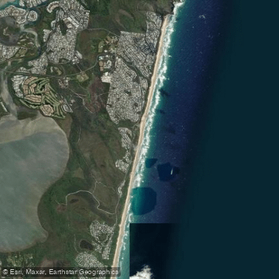
Noosa National Park sits on Queensland's Sunshine Coast, where the land meets a network of calm coastal waterways rather than rivers with gradient or current.
The paddling here is flatwater — estuaries, shallow lakes, and tidal creeks threading through mangrove and wetland — and the protected status of the surrounding landscape shapes the experience as much as the water itself.
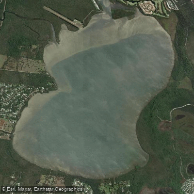
Lake Weyba anchors the southern end of the Noosa Everglades system and is the most accessible water within reach of the park. Shallow and calm, it connects to branching estuaries and mangrove-lined wetlands that hold stingrays in clear water beneath the hull.
Conditions are typically mirror-flat, which makes it forgiving for beginners and genuinely good for wildlife watching at any pace.
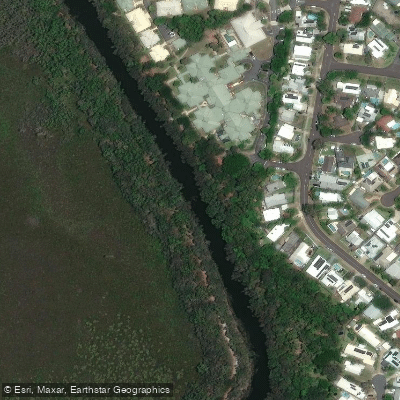
Burgess Creek and Stumers Creek feed into this same southern system, adding narrow tidal passages for those who want to push further into the mangroves. The upper Noosa River — listed by Queensland Parks and Wildlife Service as a 27.
7 km one-way canoe and kayak journey — runs through the Cooloola section of Great Sandy National Park rather than Noosa National Park proper, but it defines the broader paddling context of the region.
That stretch, known as The Narrows, is tannin-dark, winding, and fringed by paperbarks whose reflections give it the "River of Mirrors" name used by operators. The suggested paddling time is five hours one way, with bush campsites accessible along the route.
Canoes and kayaks can be hired from private operators at Boreen Point and Elanda Point.
For paddlers planning an overnight trip on the upper Noosa River, the QPWS waterway page is the right place to check current permit and camping requirements before launching. The park manages access and campsites directly.
What stays consistent across all of it — the lake, the creeks, the river — is the quality of the quiet. These are not waters you read for hydraulics or scout from the bank. You read them for tide, wind, and time of day.
Water and weather conditions (10 day forecast)
See the best times to paddle Noosa National Park and check the forecast before you go.
No forecast data available.
Paddle smarter with real-time insights
Whether you're en route and conditions shift or you're looking for the best spot based on current flows, we enable you to make informed decisions on the fly.







Paddling near Noosa National Park
Loading...
Gateway towns
Where to base yourself for paddling in Noosa National Park.
- Noosa HeadsQueensland
The main park entrance sits at the end of Hastings Street; lodging, cafes, and outfitters are all within walking distance of the trailhead.
- NoosavilleQueensland
A suburb of Noosa on the river with accommodation, kayak hire, and easy access to the park's Lake Weyba section.
- Coolum BeachQueensland
Sits near the Peregian and Coolum sections of the park and offers a range of lodging options for visitors exploring those areas.
Explore Noosa National Park
Top paddling waters
Popular Cities
Loading popular cities...

Smarter Paddling Starts in the App.
Paddleways gives you everything you need to plan smarter, paddle better, and own every trip from first launch to takeout.