Tea Tree Bay
- Saltwater
- Beach
Tea Tree Bay
- Saltwater
- Beach
- Sq. miles
- 0.1
- Boat Ramps
- 0
- Access Points
- 0
- Campsites
- 0
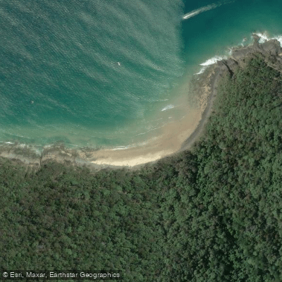
Tea Tree Bay is a small, north-facing pocket beach within Noosa National Park on the Sunshine Coast of Queensland. The beach is approximately 100 meters long and is the first bay encountered inside the park, located 500 meters east of the main car park. Access for paddlers is via a walking track from the park entrance, which provides a 20-minute walk along the wooded coastal slopes behind the beach. The track offers good access along the entire length of the beach. Additional parking is available south of the trailhead at the Surf Life Saving Club, and public toilets are located near the beach. The beach itself has a high tide cobble and boulder shoreline, with a narrow sandy high tide beach and a sloping low tide sand bar. Wave heights average over 0.5 meters, and rips are usually present, indicating a shore break that paddlers must navigate. The beach is unpatrolled by lifesaving services. The surrounding area is part of the Noosa National Park coastal track, which passes by Granite Bay and leads out to Hell's Gates, offering potential destinations for coastal paddling trips. The bay is known for its scenic beauty, with golden afternoon light, and the wooded slopes behind the beach are home to wildlife such as koalas. The water is turquoise. For paddlers, the primary considerations are the carry distance from the car park, the presence of a shore break and rips, and the exposure to northerly winds. The beach is backed by steep slopes and a rocky shoreline, contributing to its sheltered cove character within the national park setting.
Water access, boat ramps & amenities
Learn how to get on Tea Tree Bay. Uncover great paddling access points, boat ramps, and all the facilities you need for an unforgettable day on the water. Some locations shown may border or include private property. Always check property boundaries and applicable regulations before visiting. PaddleWays's Public & Private Land layer can help you plan your access with confidence.
Paddle smarter with real-time insights
Whether you're en route and conditions shift or you're looking for the best spot based on current flows, we enable you to make informed decisions on the fly.







Queensland licenses and regulations

Find Places to Paddle

Over 400,000 Places to Paddle
Every user gets free access to launch points, boat ramps, and public property parcels.


Tides, wind & water conditions (10 day forecast)
On open water, wind and tide matter as much as the weather. See the best times to paddle Tea Tree Bay and check the marine forecast before you launch.
Loading tide predictions…
Paddling near Tea Tree Bay
Maroochy River
Mooloolah River
Pumicestone Passage
Petrie Creek
Obi Obi Creek

Moreton Bay
Noosa River
Stanley River
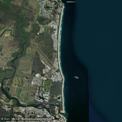
Yaroomba Beach
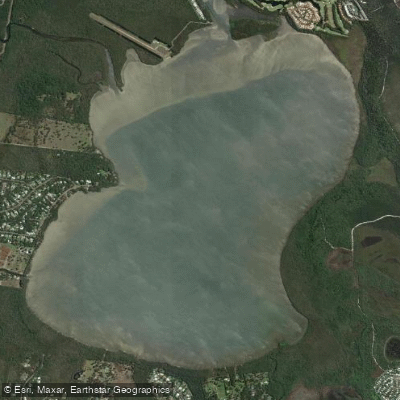
Lake Weyba
Explore Queensland waters
Top paddling waters
No waters available right now.
Popular Cities
Loading popular cities...
Explore near Tea Tree Bay

Smarter Paddling Starts in the App.
Paddleways gives you everything you need to plan smarter, paddle better, and own every trip from first launch to takeout.