Paddling in Oxley Wild Rivers National Park
- National Park
- Lakes
- 1
- Rivers
- 166
- Access
- 0
- Boat Ramps
- 0
- Shops
- 0
Oxley Wild Rivers National Park protects a sprawling section of the New England Tablelands escarpment in northern New South Wales, where rivers carve deep into sandstone gorge country before dropping off the plateau edge.
The water here is wild in the literal sense — remote, subject to rapid rises, and shaped by the same geology that produces some of the highest waterfalls in Australia.
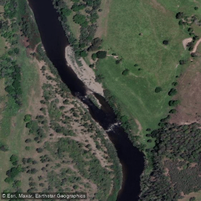
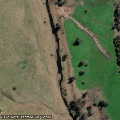
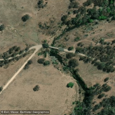
For paddlers, the park is gorge-touring and wilderness canoe country, not a day-trip destination. The Apsley River and the Macleay River are the two waters that anchor serious paddling in the park.
The Riverside campground and picnic area sits on the Apsley's banks, roughly 50 km east of Walcha via Moona Plains Road, and serves as a practical put-in or take-out point.
Overnight trips beginning at Riverside on the Apsley, or from Hall's Peak Road on the Chandler River — which becomes the Macleay — run through the spectacular gorge country and can culminate at West Kunderang, a private property downstream that has long been a staging point for multi-day trips.
From West Kunderang, paddlers can continue downstream to Georges Junction, a stretch that suits family groups and those fishing for bass. The park's gorge sections offer approximately 10 km of river frontage in the West Kunderang area alone.
Timing matters here. River heights can change dramatically and rapidly — a characteristic of escarpment catchments that flush hard after rain.
Plan trips for periods of stable weather and check conditions before committing to a gorge run where exit options are limited. Lifejackets must be worn in all watercraft.
All craft must be removed from the water and stored well above the high-water mark after use. This is not a park where you show up and improvise.
The gorge country is genuinely remote, shuttle logistics require planning, and the rivers demand respect from anyone who paddles them.
That remoteness is also exactly the point — few places in eastern Australia put you this far inside a working river system with this little company.
Top waters to paddle near Oxley Wild Rivers National Park
Water and weather conditions (10 day forecast)
See the best times to paddle Oxley Wild Rivers National Park and check the forecast before you go.
No forecast data available.
Paddle smarter with real-time insights
Whether you're en route and conditions shift or you're looking for the best spot based on current flows, we enable you to make informed decisions on the fly.







Paddling near Oxley Wild Rivers National Park
Loading...
Gateway towns
Where to base yourself for paddling in Oxley Wild Rivers National Park.
- ArmidaleNew South Wales
The main base for the park, with accommodation, supplies, and access to the Waterfall Way scenic drive into the park.
- WalchaNew South Wales
Southern gateway town providing access to the park's gorge country and the Apsley Falls area.
- KempseyNew South Wales
Eastern access point for the lower reaches of the park along the Macleay River corridor.
Explore Oxley Wild Rivers National Park
Top paddling waters
Popular Cities
Loading popular cities...

Smarter Paddling Starts in the App.
Paddleways gives you everything you need to plan smarter, paddle better, and own every trip from first launch to takeout.