Macleay River
Macleay River
- Boat Ramps
- 10
- Access Points
- 0
- Campsites
- 4
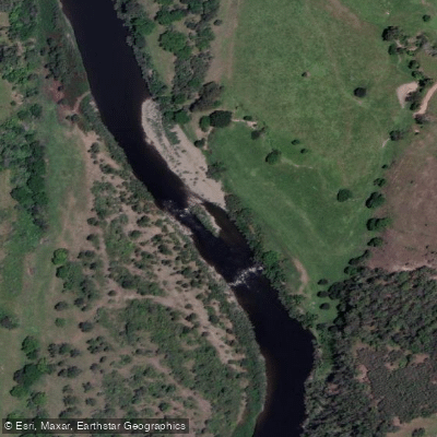
The Macleay River flows through the Northern Tablelands and Mid North Coast districts of New South Wales, Australia, rising near Uralla on the Great Dividing Range and travelling through dramatic gorge country before opening into pastoral lowlands and eventually reaching the coast near South West Rocks. The river offers a wide range of paddling experiences across its length, from technical upper sections to gentle family-friendly stretches in the lower valley.
The upper section from 1 km downstream of the Gara River Junction to Georges Creek covers approximately 101 km and is rated Grade II on average, with a trip duration of around five days. This stretch is notable for numerous tree hazards and requires careful navigation. The river meanders extensively through this section, at times nearly doubling back on itself. The Chandler River joins from the left at around the 55 km mark and typically adds considerable flow. A portage may be necessary at around 45 km due to a rock blockage.
From Georges Creek to Kempsey, the river covers roughly 150 km at Grade I, taking approximately seven days and making it well suited to family groups. This section features small rapids and gravel races through pleasant pastoral country. When river levels rise after significant rainfall, large pressure waves and haystacks can develop. Intermediate access points along this stretch include Comara, Bellbrook, Toorooka, Temagong, Turners Flat, and Sherwood, as the Kempsey–Georges Creek road follows the river closely with frequent side road crossings.
In the upper gorge country, West Kunderang offers around 10 km of river frontage and serves as a base for half-day to full-day paddles. Overnight trips can be initiated from Hall's Peak Road on the Chandler River or from Riverside on the Apsley River, travelling through the gorge country of Oxley Wild Rivers National Park. A popular downstream trip from West Kunderang to Georges Junction is frequently used by families and bass anglers.
Near the coast, kayak hire is available at Stuarts Point Holiday Park. Wildlife along the river includes azure kingfishers, various waterfowl species, turtles, and carpet snakes. Paddlers should be aware that river heights can change dramatically and rapidly, lifejackets must be worn in all watercraft, and all craft should be removed well above the high water mark after use.
Water access, boat ramps & amenities
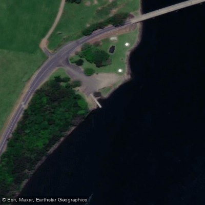
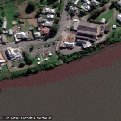
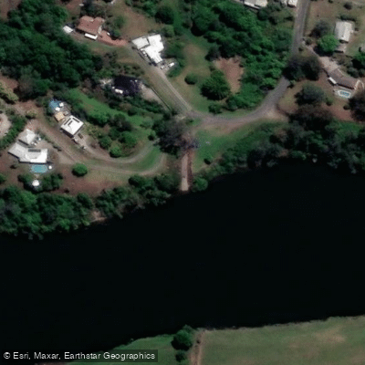
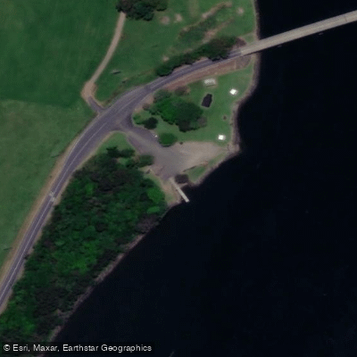
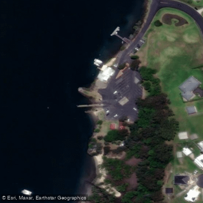
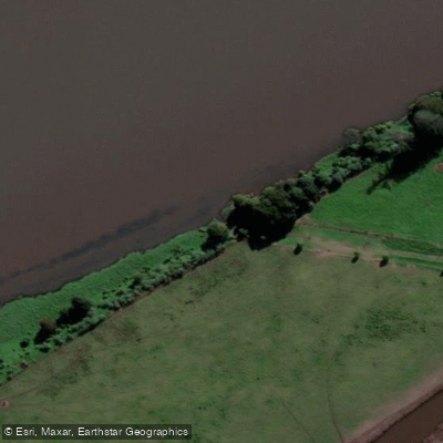
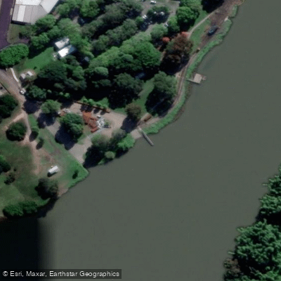
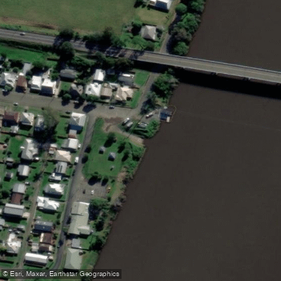
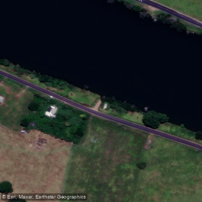
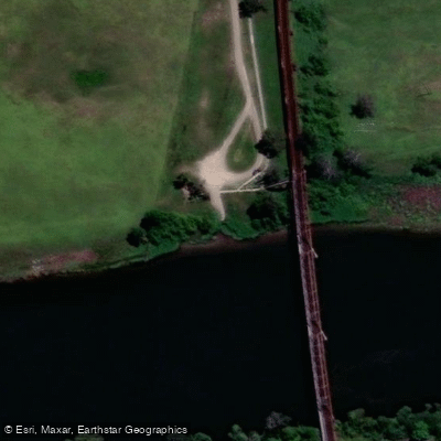
Learn how to get on Macleay River. Uncover great paddling access points, boat ramps, and all the facilities you need for an unforgettable day on the water. Some locations shown may border or include private property. Always check property boundaries and applicable regulations before visiting. PaddleWays's Public & Private Land layer can help you plan your access with confidence.
Paddle smarter with real-time insights
Whether you're en route and conditions shift or you're looking for the best spot based on current flows, we enable you to make informed decisions on the fly.








Find Places to Paddle

Over 400,000 Places to Paddle
Every user gets free access to launch points, boat ramps, and public property parcels.


Water and weather conditions (10 day forecast)
See the best times to paddle Macleay River and check the forecast before you go.
Macleay River At Turners Flat
All Flow Stations
Paddling near Macleay River
Hastings River
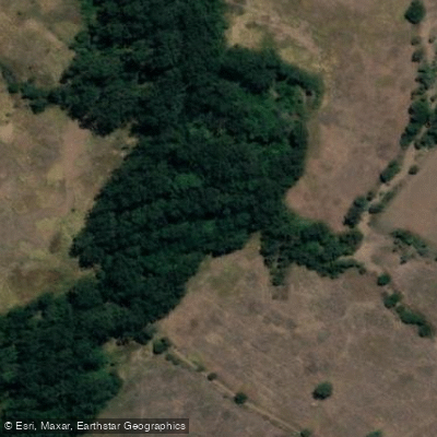
Herons Creek
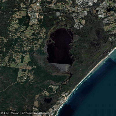
Lake Cathie/Innes
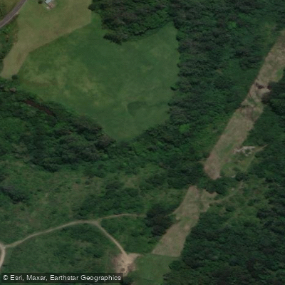
Camden Haven River
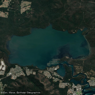
Queens Lake
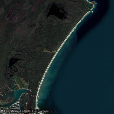
North Shore Beach
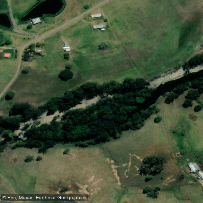
Wilson River
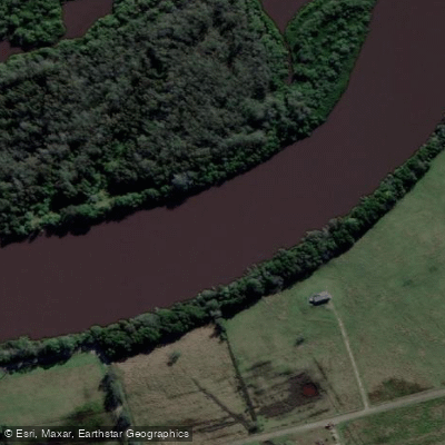
Maria River
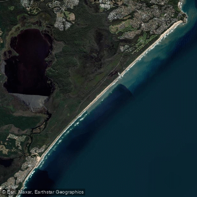
Lighthouse Beach
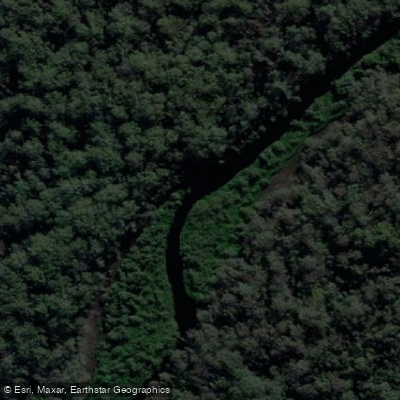
Limeburners Creek
Explore New South Wales waters
Top paddling waters
No waters available right now.
Popular Cities
Loading popular cities...
Explore near Macleay River
Access points
Nearby waters
More in New South Wales

Smarter Paddling Starts in the App.
Paddleways gives you everything you need to plan smarter, paddle better, and own every trip from first launch to takeout.