Paddling in Wallingat National Park
- National Park
- Lakes
- 0
- Rivers
- 13
- Access
- 0
- Boat Ramps
- 0
- Shops
- 0
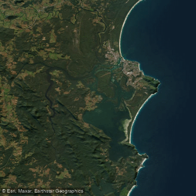
Wallingat National Park sits on the Mid North Coast of New South Wales, roughly between Forster and Seal Rocks, protecting a stretch of coastal hinterland where the Wallingat River and its tributaries wind through eucalypt forest, cabbage palm stands, and patches of rainforest.
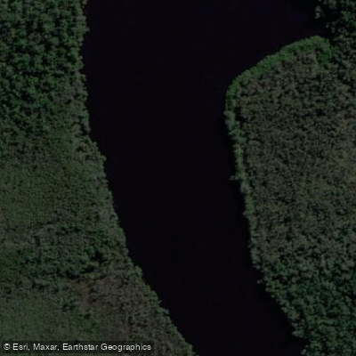
The paddling here is quiet flatwater — river touring, not whitewater — suited to kayaks and canoes on a system that rewards slow movement and patience. The Wallingat River is the main water.
The Wallingat River campground puts you directly on the bank, and paddlers launching here can work upstream or downstream through forested corridors with little competition for space.
The Cockatoo picnic area, another access point in the park, sits riverside and is specifically noted for kayaking alongside swimming and fishing — a practical put-in with day-use infrastructure already in place.
A boat and kayak launch is also noted near Cockatoo, usable for crabbing and fishing runs on the river.
Conditions on the Wallingat are typical of coastal lowland rivers in this part of New South Wales: tannin-stained, slow-moving, and heavily influenced by rainfall.
The Mid North Coast wet season runs roughly through summer, and water levels will vary accordingly — higher flows after rain open up more of the system, while drier periods can mean shallower passages on the smaller tributaries.
Boggy Creek, Reedy Creek, and Pipeclay Creek feed the broader catchment, though the river itself is the reliable paddle.
Because this is a national park, the plan of management governs how the water is used — check with NSW National Parks for any current conditions, closures, or permit requirements before you go. The park is quiet by design. That quietness is the point.
Top waters to paddle near Wallingat National Park
Water and weather conditions (10 day forecast)
See the best times to paddle Wallingat National Park and check the forecast before you go.
No forecast data available.
Paddle smarter with real-time insights
Whether you're en route and conditions shift or you're looking for the best spot based on current flows, we enable you to make informed decisions on the fly.







Paddling near Wallingat National Park
Loading...
Gateway towns
Where to base yourself for paddling in Wallingat National Park.
- ForsterNew South Wales
The main service town for the park, with lodging, supplies, and access to the park's unsealed road network.
- Seal RocksNew South Wales
Small coastal village on the park's eastern fringe, used as a base by visitors combining the park with beach access.
- Smiths LakeNew South Wales
The nearest named locality to the park, sitting close to the park boundary on the mid-North Coast.
Explore Wallingat National Park
Top paddling waters
Popular Cities
Loading popular cities...

Smarter Paddling Starts in the App.
Paddleways gives you everything you need to plan smarter, paddle better, and own every trip from first launch to takeout.