Wallis Lake
- Saltwater
- Estuary
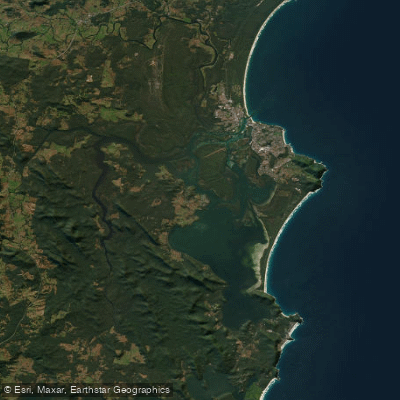
Wallis Lake
- Saltwater
- Estuary
- Sq. miles
- 45
- Boat Ramps
- 0
- Access Points
- 0
- Campsites
- 0
Wallis Lake is a large coastal lake system located on the Mid-Coast of New South Wales, separating the towns of Forster and Tuncurry. It is approximately 25 kilometres long and nine kilometres wide, forming a wave-dominated coastal barrier estuary that opens to the sea at Forster-Tuncurry. The lake's waters are turquoise and clear, fed by several rivers including the Wallamba and Coolongolook. The lake is bordered by Wallingat National Park to the west and Booti Booti National Park to the east, contributing to its scenic backdrop. For paddlers, a key access point is the Pelican Boardwalk on Memorial Drive in Forster, which features a new kayak launching system designed to improve safety and access to the Breckenridge Channel. This system provides a dedicated low-level landing for swimmers, kayakers, and paddle boarders. Other major boat ramps for motorised craft are located at Forster Marina and Tuncurry's Point Road, which also serve as potential access points. The Breckenridge Channel, with its shoreline dotted with boatsheds, is a notable area for paddling. The lake is home to dolphins, rays, and turtles, and its many islands offer exploration opportunities. The lake can become very popular during holiday periods, leading to significant boat traffic. As a coastal lake with a direct entrance to the sea, paddlers should be aware of tidal influences, particularly when navigating near the entrance channels and oyster leases. The lake is a major producer of Sydney Rock Oysters, so paddlers will encounter extensive oyster lease infrastructure. The overall character is that of a vibrant, multi-use waterway popular for recreation in the summer months.
Water access, boat ramps & amenities
Learn how to get on Wallis Lake. Uncover great paddling access points, boat ramps, and all the facilities you need for an unforgettable day on the water. Some locations shown may border or include private property. Always check property boundaries and applicable regulations before visiting. PaddleWays's Public & Private Land layer can help you plan your access with confidence.
Paddle smarter with real-time insights
Whether you're en route and conditions shift or you're looking for the best spot based on current flows, we enable you to make informed decisions on the fly.








Find Places to Paddle

Over 400,000 Places to Paddle
Every user gets free access to launch points, boat ramps, and public property parcels.


Tides, wind & water conditions (10 day forecast)
On open water, wind and tide matter as much as the weather. See the best times to paddle Wallis Lake and check the marine forecast before you launch.
Loading tide predictions…
Paddling near Wallis Lake
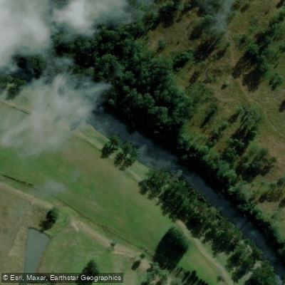
Hastings River
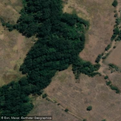
Herons Creek
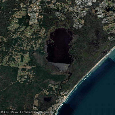
Lake Cathie/Innes
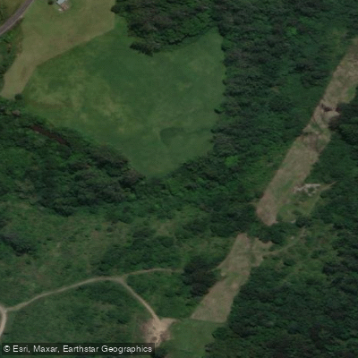
Camden Haven River
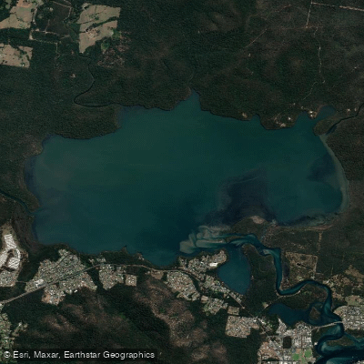
Queens Lake
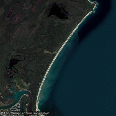
North Shore Beach
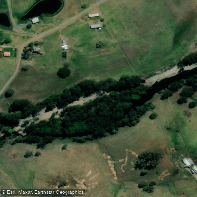
Wilson River
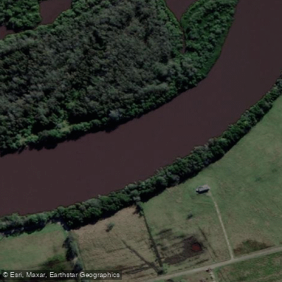
Maria River
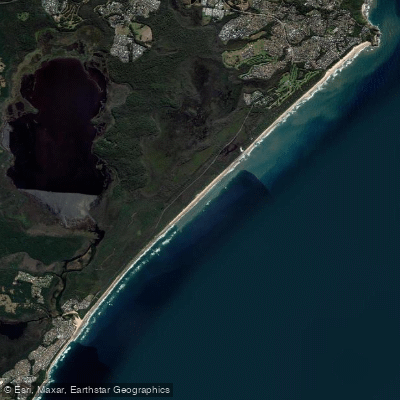
Lighthouse Beach
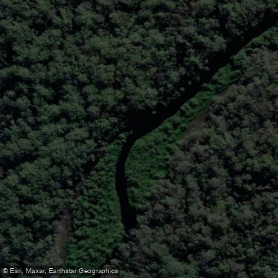
Limeburners Creek
Explore New South Wales waters
Top paddling waters
No waters available right now.
Popular Cities
Loading popular cities...
Explore near Wallis Lake

Smarter Paddling Starts in the App.
Paddleways gives you everything you need to plan smarter, paddle better, and own every trip from first launch to takeout.