Paddling in Werrikimbe National Park
- National Park
- Lakes
- 0
- Rivers
- 23
- Access
- 0
- Boat Ramps
- 0
- Shops
- 0
Werrikimbe sits on the eastern escarpment of the Great Dividing Range in New South Wales, about 65 kilometres north-west of Wauchope, and the water here moves with purpose — draining off steep, forested country into the upper catchment of the Hastings River.
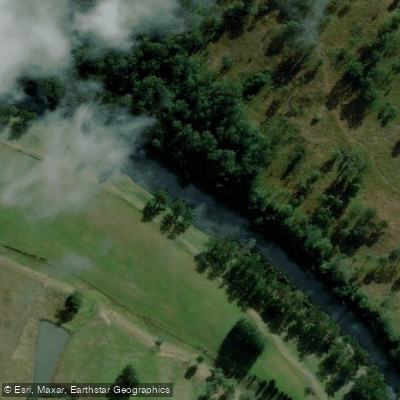
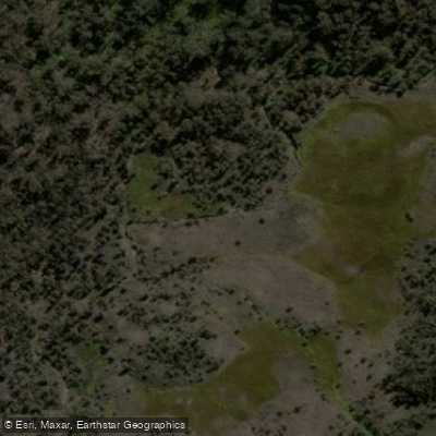
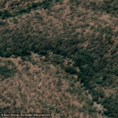
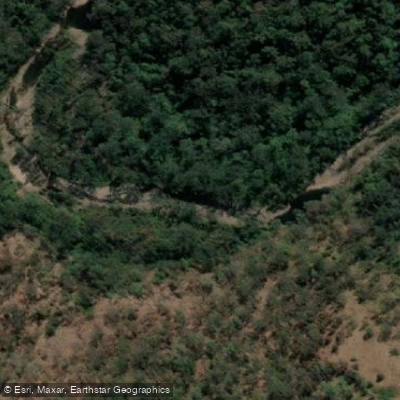
The park's 333 square kilometres of wilderness hold wild rivers described as scenic, running through rainforest, deep gullies, and rugged escarpment terrain. This is remote, committing country, not a flatwater day-trip destination.
The Hastings River is the defining water inside the park. It rises in this upper catchment, and the park map marks a canoe and kayak location along it — one put-in point in a landscape where access is genuinely limited.
All roads into the park are unsealed, steep, and winding, and the 4WD track beyond Mooraback Road to the Youdales Hut visitor area requires low-range four-wheel drive and a key obtained from NSW National Parks and Wildlife Service or Apsley Motors in Walcha before you go.
Dingo Creek is also within the park's waters. The Hastings drops over upper falls — the trail name "Nothofagus Canyon - Hastings River Upper Falls" signals the kind of gradient this river carries in its upper reaches.
The park is part of the Gondwana Rainforests of Australia World Heritage Area, which shapes how it's managed. NSW National Parks and Wildlife Service governs the park; check with them directly on any permits, access conditions, or closures before launching.
Road conditions and river levels in this kind of escarpment terrain can change fast, and the remoteness means self-sufficiency isn't optional. Paddling here asks something of you.
The reward is wild river country largely unchanged — ancient rainforest overhead, the upper Hastings moving through gorge country that few people reach by water.
Water and weather conditions (10 day forecast)
See the best times to paddle Werrikimbe National Park and check the forecast before you go.
No forecast data available.
Paddle smarter with real-time insights
Whether you're en route and conditions shift or you're looking for the best spot based on current flows, we enable you to make informed decisions on the fly.







Paddling near Werrikimbe National Park
Loading...
Gateway towns
Where to base yourself for paddling in Werrikimbe National Park.
- WalchaNew South Wales
Closest town to the park's western access; supplies, services, and gate keys for the 4WD trail are available here.
- WauchopeNew South Wales
Main service town on the eastern side of the park, providing accommodation, supplies, and access to the escarpment entrances.
- Port MacquarieNew South Wales
Larger coastal hub referenced alongside the park for visitor services and a base for those approaching from the coast.
Explore Werrikimbe National Park
Top paddling waters
Popular Cities
Loading popular cities...

Smarter Paddling Starts in the App.
Paddleways gives you everything you need to plan smarter, paddle better, and own every trip from first launch to takeout.