Hastings River
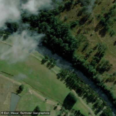
Hastings River
- Boat Ramps
- 2
- Access Points
- 0
- Campsites
- 2
The Hastings River rises in the Werrikimbe National Park within the Great Dividing Range and flows generally southeast for approximately 128 km before reaching its mouth at Port Macquarie on the New South Wales coast. It is a relatively short, narrow, and shallow system by northern NSW standards, with an average depth of 1.9 m. Seven tributaries join the main river along its course, including the Forbes, Ellenborough, Pappinbarra, Thone, and Tobins rivers. The Ellenborough River drains the Comboyne region and is notable for its spectacular falls. The river passes through Wauchope before reaching Port Macquarie, where it enters the sea.
The uppermost practical paddling section runs approximately 15 km from the Mt Seaview Road bridge to Yarras, rated Grade III. This stretch carries good rapids when water levels are sufficient, though it requires recent rainfall to reach the stated grade. No portages are required on this section, and the trip typically takes half to a full day. Above this put-in, access is through private property. Throughout the canoeable sections, the river generally runs close to the road.
In the lower reaches near Port Macquarie, the character of the river changes considerably. The tidal estuary offers wide, meandering water through rural landscapes with tall eucalypts, bloodwoods, and banksias lining the banks, along with open paddocks and views toward the hills. Mangroves are present along sections of the eastern bank. The area around Limeburners Creek and Shallow Lake provides an extended route of around 27 km return, connecting through to Saltwater Lake. Rawdon Island and Little Rawdon Island, accessible from the McMillan Drive ramp, offer calm river water with minimal motorised boat traffic and are suitable for all skill levels.
The Port Macquarie Hastings Canoe Club is active in the area and regularly runs group paddles throughout the lower river and surrounding waterways. Multiple boat ramps and jetties are maintained by Port Macquarie Hastings Council, including facilities at Apex Park, Blackmans Point, Bruce Porter Reserve, and Dunbogan. The river supports healthy populations of Australian bass, particularly in the upper reaches and tributaries, which means kayak anglers are a common presence on the water.
Water access, boat ramps & amenities
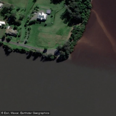
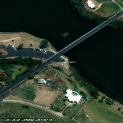
Learn how to get on Hastings River. Uncover great paddling access points, boat ramps, and all the facilities you need for an unforgettable day on the water. Some locations shown may border or include private property. Always check property boundaries and applicable regulations before visiting. PaddleWays's Public & Private Land layer can help you plan your access with confidence.
Paddle smarter with real-time insights
Whether you're en route and conditions shift or you're looking for the best spot based on current flows, we enable you to make informed decisions on the fly.








Find Places to Paddle

Over 400,000 Places to Paddle
Every user gets free access to launch points, boat ramps, and public property parcels.


Water and weather conditions (10 day forecast)
See the best times to paddle Hastings River and check the forecast before you go.
Hastings River At Ellenborough (Kindee Bridge)
All Flow Stations
Paddling near Hastings River
Herons Creek
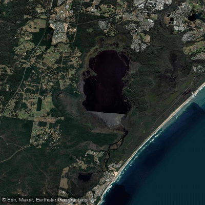
Lake Cathie/Innes
Camden Haven River
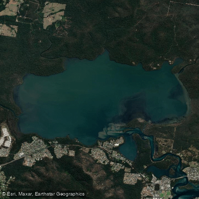
Queens Lake
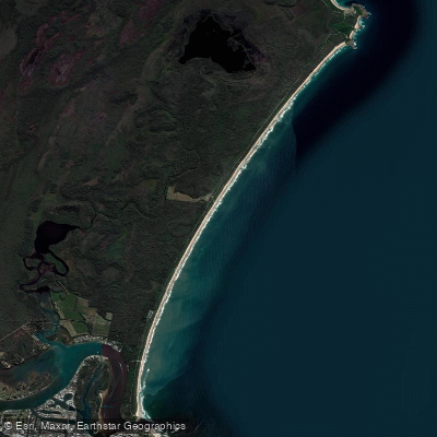
North Shore Beach
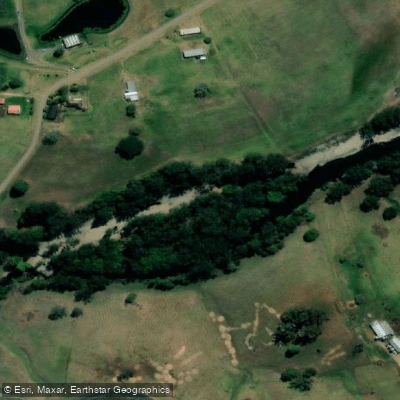
Wilson River
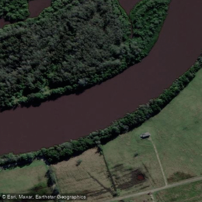
Maria River
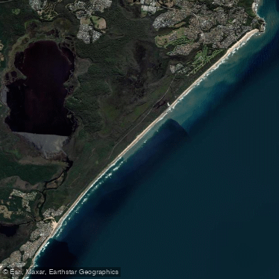
Lighthouse Beach
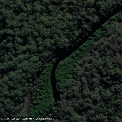
Limeburners Creek
Explore New South Wales waters
Top paddling waters
No waters available right now.
Popular Cities
Loading popular cities...
Explore near Hastings River
Access points
Nearby waters
More in New South Wales

Smarter Paddling Starts in the App.
Paddleways gives you everything you need to plan smarter, paddle better, and own every trip from first launch to takeout.