Babinda Creek
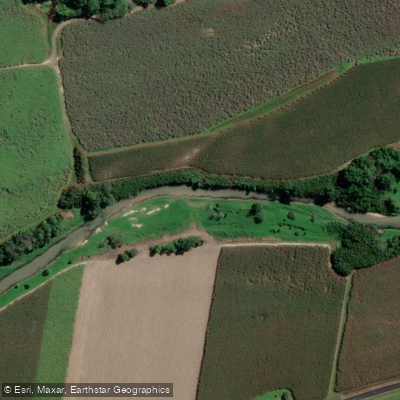
Babinda Creek
- Boat Ramps
- 0
- Access Points
- 0
- Campsites
- 2
Babinda Creek is a permanently flowing mountain stream located near the town of Babinda in far north Queensland, situated in the valley between Mount Bartle Frere and Mount Bellenden Ker — Queensland's two highest peaks. The creek drains a high coastal mountain range where moist south-easterly trade winds produce some of the highest rainfall in Australia, ensuring a consistent water supply year-round. The water is crystal clear, allowing paddlers to see the streambed below, which supports populations of fish, turtles, and platypus.
The primary paddling route covers approximately 9 kilometres of downstream travel, beginning at 330 Stager Road, Mirriwinni, and finishing near the township of Babinda. This is a one-way trip only; paddling back upstream to the launch point is not an option. The current is generally gentle, and the route is considered suitable for beginners. After significant rainfall, once the creek clears, the current provides enough pace that active paddling is largely unnecessary. During extended dry periods, paddlers may encounter occasional shallow, pebbly sections requiring brief portages of a few steps. The operator describes the typical experience as "couch potato paddling." A few minor rapids punctuate the route, along with sandbars suitable for stopping. Rope swings are also present along the creek. Wildlife commonly spotted includes kingfishers, cormorants, and turtles.
The main access point requires descending stairs and walking approximately 300 metres along a grassed creek bank. Entry into kayaks is made either from concrete stairs leading into the water or from a shallow sandbank depending on water level. Kayak and stand-up paddleboard hire is available through Babinda Kayaking (330 Stager Road), with single kayak hire from $60 and double kayaks from $120, covering half or full day sessions. Bookings are essential. The operator does not run trips during very heavy rain or flooding, typically resuming within a day or two of floodwaters subsiding and clearing.
Crocodiles are not known to inhabit this section of the creek. The operator notes that the creek's clarity and mostly shallow depth make it difficult for crocodiles to conceal themselves, though sightings are taken seriously and operations are suspended if any are reported. Separately, the Babinda Boulders area — a section of the creek upstream where tributaries converge among large rocks — is managed as a scenic reserve and is noted for significant drowning hazards; paddlers should be aware this area presents serious risks distinct from the main kayaking route.
Water access, boat ramps & amenities
Learn how to get on Babinda Creek. Uncover great paddling access points, boat ramps, and all the facilities you need for an unforgettable day on the water. Some locations shown may border or include private property. Always check property boundaries and applicable regulations before visiting. PaddleWays's Public & Private Land layer can help you plan your access with confidence.
Paddle smarter with real-time insights
Whether you're en route and conditions shift or you're looking for the best spot based on current flows, we enable you to make informed decisions on the fly.







Queensland licenses and regulations

Find Places to Paddle

Over 400,000 Places to Paddle
Every user gets free access to launch points, boat ramps, and public property parcels.


Water and weather conditions (10 day forecast)
See the best times to paddle Babinda Creek and check the forecast before you go.
Babinda Creek At The Boulders
All Flow Stations
Paddling near Babinda Creek
Barron River
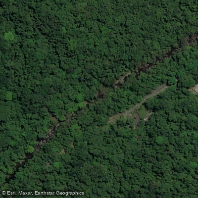
Freshwater Creek
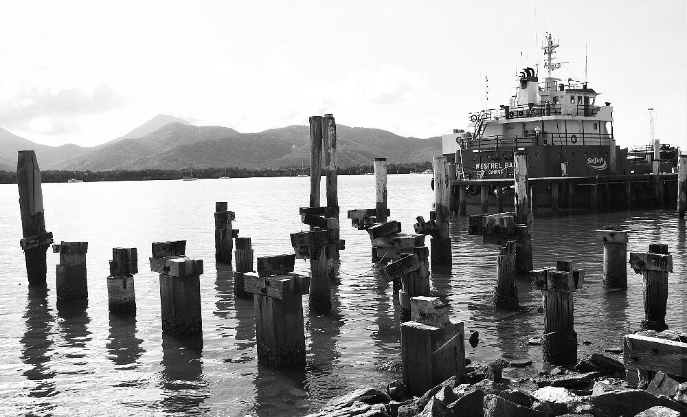
Trinity Inlet
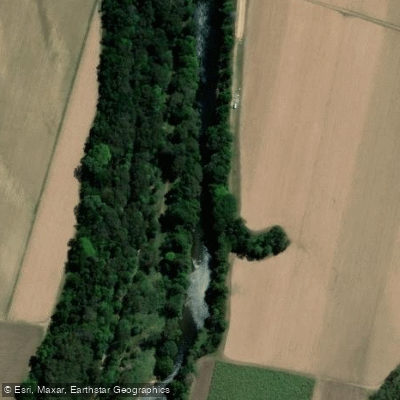
Mulgrave River
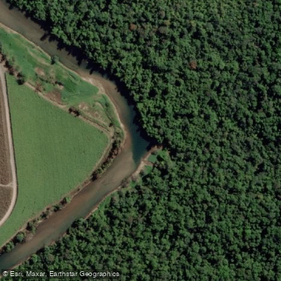
Russell River
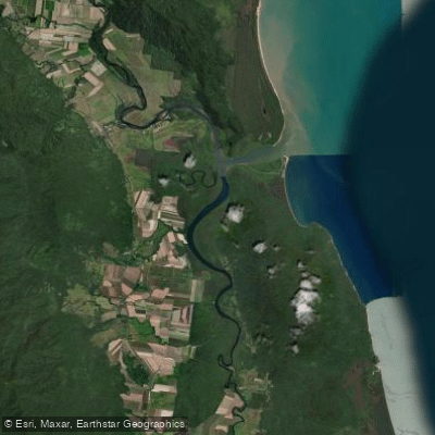
Mutchero Inlet/Russell Mulgrave
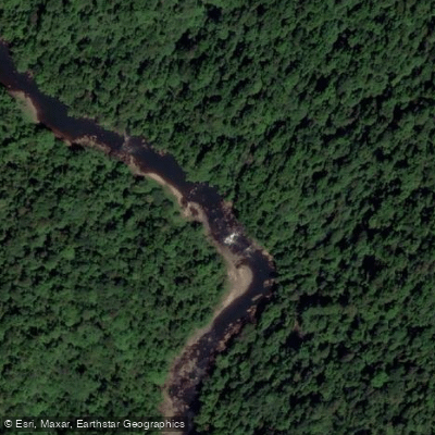
Johnstone River
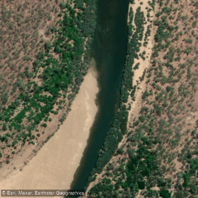
Mitchell River
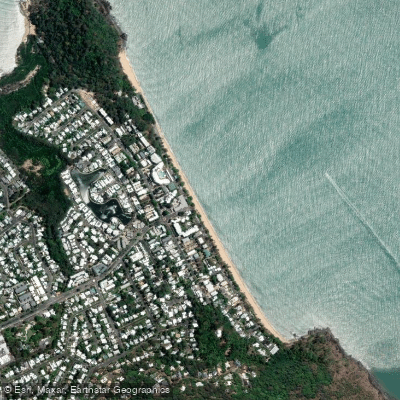
Trinity Beach
Explore Queensland waters
Top paddling waters
No waters available right now.
Popular Cities
Loading popular cities...
Explore near Babinda Creek

Smarter Paddling Starts in the App.
Paddleways gives you everything you need to plan smarter, paddle better, and own every trip from first launch to takeout.