Mulgrave River
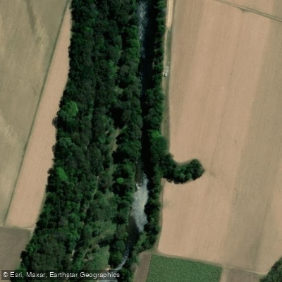
Mulgrave River
- Boat Ramps
- 1
- Access Points
- 1
- Campsites
- 2
The Mulgrave River is located in the Cairns Region of tropical North Queensland, flowing through the Goldsborough Valley south of Cairns before joining the Russell River system and eventually reaching the coast near Russell Heads. The river offers a range of paddling environments, from the upper freshwater reaches in the Goldsborough Valley to the tidal estuary sections lower in the system.
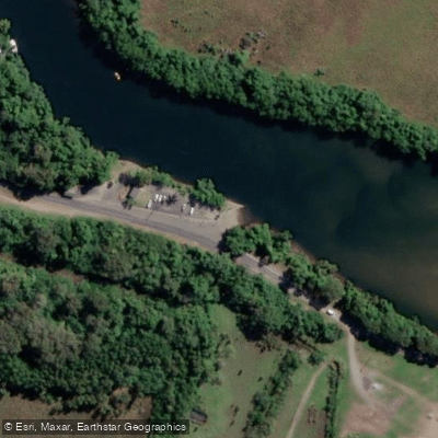
The primary vehicle access point for the lower river is via Ross Road, off the Bruce Highway at Deeral, where a two-lane concrete boat ramp provides straightforward river access. Facilities at this ramp include public toilets and water for washing down boats, with generally ample parking for cars and trailers, though spaces can fill quickly during peak periods. Paddlers should be aware that the ramp surface accumulates marine algae and slime in the warm tropical climate, making it particularly slippery underfoot. The area can also be inundated during very high tides or flooding events.
The lower river is tidal and relatively shallow in places, with numerous sandbars that require careful navigation. The deeper water channels are typically found along steeper banks. Tidal conditions significantly affect water levels and flow throughout the estuary section, and paddlers should plan trips around tidal cycles accordingly.
Crocodile safety is a critical consideration on the Mulgrave River. The entire river system is recognised crocodile habitat, and caution is essential at all times near the water's edge. Swimming in these waters is strongly discouraged. Discarding fish scraps or cleaning fish at or near the water can attract crocodiles and should be avoided.
The upper Goldsborough Valley section of the river is used for guided river tubing tours, indicating calmer, more accessible water in that area. The lower estuary connects to the Russell River system, with the junction of the two rivers being a notable navigational landmark. From the lower reaches, boat trips can extend toward Russell Heads.
The river sits within a tropical climate zone, and the wet season brings elevated water levels and reduced water clarity in the tidal zones. During the drier, cooler months, the freshwater influence recedes and saltwater penetrates further up the system, which affects conditions throughout the estuary. Paddlers planning trips should account for both tidal and seasonal water level variations when choosing launch points and routes.
Water access, boat ramps & amenities
Learn how to get on Mulgrave River. Uncover great paddling access points, boat ramps, and all the facilities you need for an unforgettable day on the water. Some locations shown may border or include private property. Always check property boundaries and applicable regulations before visiting. PaddleWays's Public & Private Land layer can help you plan your access with confidence.
Paddle smarter with real-time insights
Whether you're en route and conditions shift or you're looking for the best spot based on current flows, we enable you to make informed decisions on the fly.







Queensland licenses and regulations

Find Places to Paddle

Over 400,000 Places to Paddle
Every user gets free access to launch points, boat ramps, and public property parcels.


Water and weather conditions (10 day forecast)
See the best times to paddle Mulgrave River and check the forecast before you go.
Mulgrave River At The Fisheries
All Flow Stations
Paddling near Mulgrave River
Barron River
Freshwater Creek
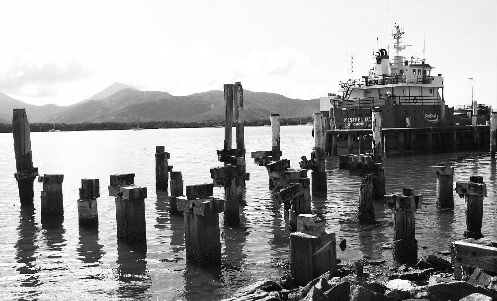
Trinity Inlet
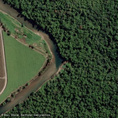
Russell River
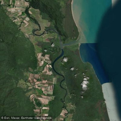
Mutchero Inlet/Russell Mulgrave
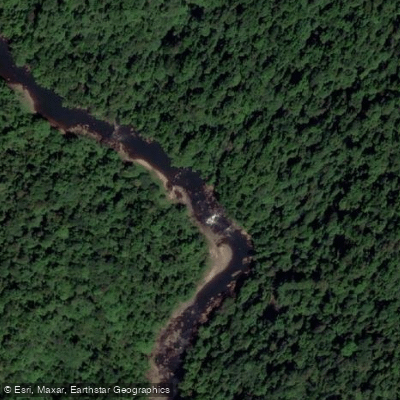
Johnstone River
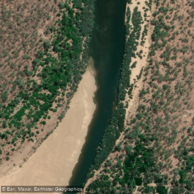
Mitchell River
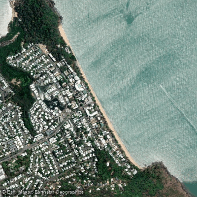
Trinity Beach
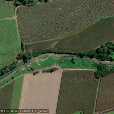
Babinda Creek
Explore Queensland waters
Top paddling waters
No waters available right now.
Popular Cities
Loading popular cities...
Explore near Mulgrave River

Smarter Paddling Starts in the App.
Paddleways gives you everything you need to plan smarter, paddle better, and own every trip from first launch to takeout.