Johnstone River
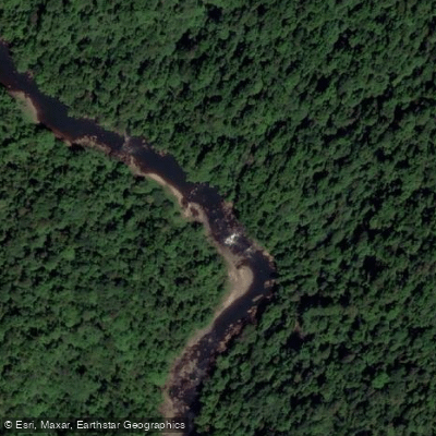
Johnstone River
- Boat Ramps
- 1
- Access Points
- 3
- Campsites
- 0
The Johnstone River is a river system in Far North Queensland, Australia, comprising two main branches — the North Johnstone River and the South Johnstone River — which converge near the town of Innisfail before emptying into the Pacific Ocean. The river originates on the Atherton Tableland, with the North Johnstone's headwaters sitting at approximately 760 metres elevation in Palmerston National Park. The system is subject to periodic flooding and is well known for whitewater paddling.
The North Johnstone is the more demanding of the two branches, rated Class IV-V and consistently regarded as one of Australia's most challenging whitewater runs and one of the top rafting trips in the world. The put-in is accessible only by helicopter from a staging point roughly two hours' drive from Cairns, and trips run four to six days through a deep canyon flanked by World Heritage-listed rainforest. Rapids along the route carry names such as Mordor, Mineshaft, and Misjudgement, and each requires careful scouting or portaging. The remoteness of the canyon means paddler traffic is extremely low. The North Johnstone is only suitable for highly experienced paddlers; the river is unpredictable and has claimed lives. The recommended season is April through June, as the river is undammed and flow is dependent on winter rainfall.
The South Johnstone offers a different character, with sections of Grade II+ water accessible via a fishing trail that leads into the river downstream of the Grade IV+ upper reaches, providing at least 15 kilometres of more moderate paddling. Access and egress on the South Johnstone are complicated by the prevalence of banana plantations along the banks; much of the riparian land is under quarantine due to Panama Disease, restricting take-out options largely to public access points such as bridges, which are spaced well apart.
A significant hazard on both branches is the presence of saltwater crocodiles, which must be factored into all trip planning. Feral pigs have also been noted in the surrounding terrain. The landscape throughout the system is dense tropical rainforest, and the river corridor provides habitat for diverse wildlife. Fishing species recorded in the system include barramundi, sooty grunter, and giant trevally. The junction of the two river branches holds cultural significance as a sacred site for the indigenous Mamu people.
Water access, boat ramps & amenities
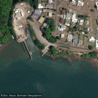
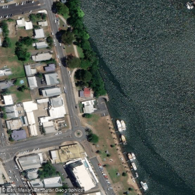
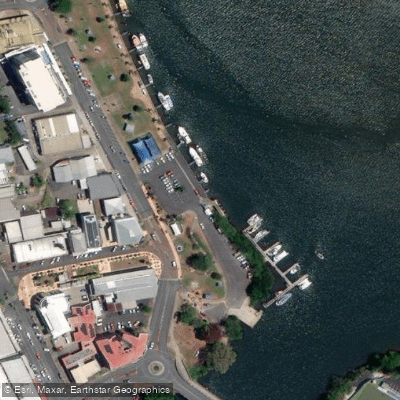
Learn how to get on Johnstone River. Uncover great paddling access points, boat ramps, and all the facilities you need for an unforgettable day on the water. Some locations shown may border or include private property. Always check property boundaries and applicable regulations before visiting. PaddleWays's Public & Private Land layer can help you plan your access with confidence.
Paddle smarter with real-time insights
Whether you're en route and conditions shift or you're looking for the best spot based on current flows, we enable you to make informed decisions on the fly.







Queensland licenses and regulations

Find Places to Paddle

Over 400,000 Places to Paddle
Every user gets free access to launch points, boat ramps, and public property parcels.


Water and weather conditions (10 day forecast)
See the best times to paddle Johnstone River and check the forecast before you go.
North Johnstone River At Glen Allyn
All Flow Stations
Paddling near Johnstone River
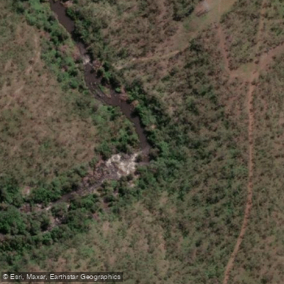
Barron River
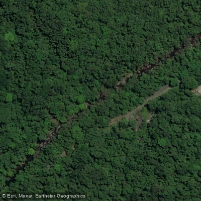
Freshwater Creek
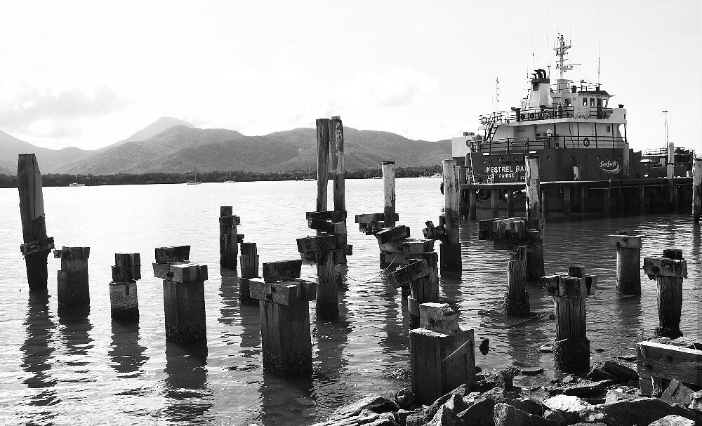
Trinity Inlet
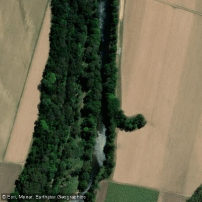
Mulgrave River
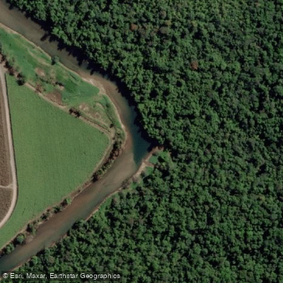
Russell River
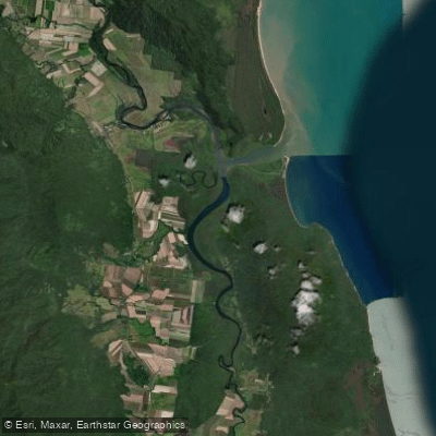
Mutchero Inlet/Russell Mulgrave
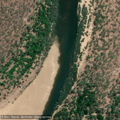
Mitchell River
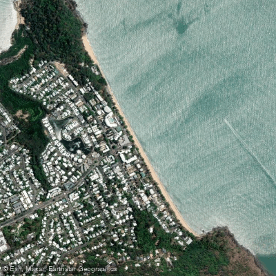
Trinity Beach
Babinda Creek
Explore Queensland waters
Top paddling waters
No waters available right now.
Popular Cities
Loading popular cities...
Explore near Johnstone River
Access points
Nearby waters
More in Queensland

Smarter Paddling Starts in the App.
Paddleways gives you everything you need to plan smarter, paddle better, and own every trip from first launch to takeout.