Bulloo River
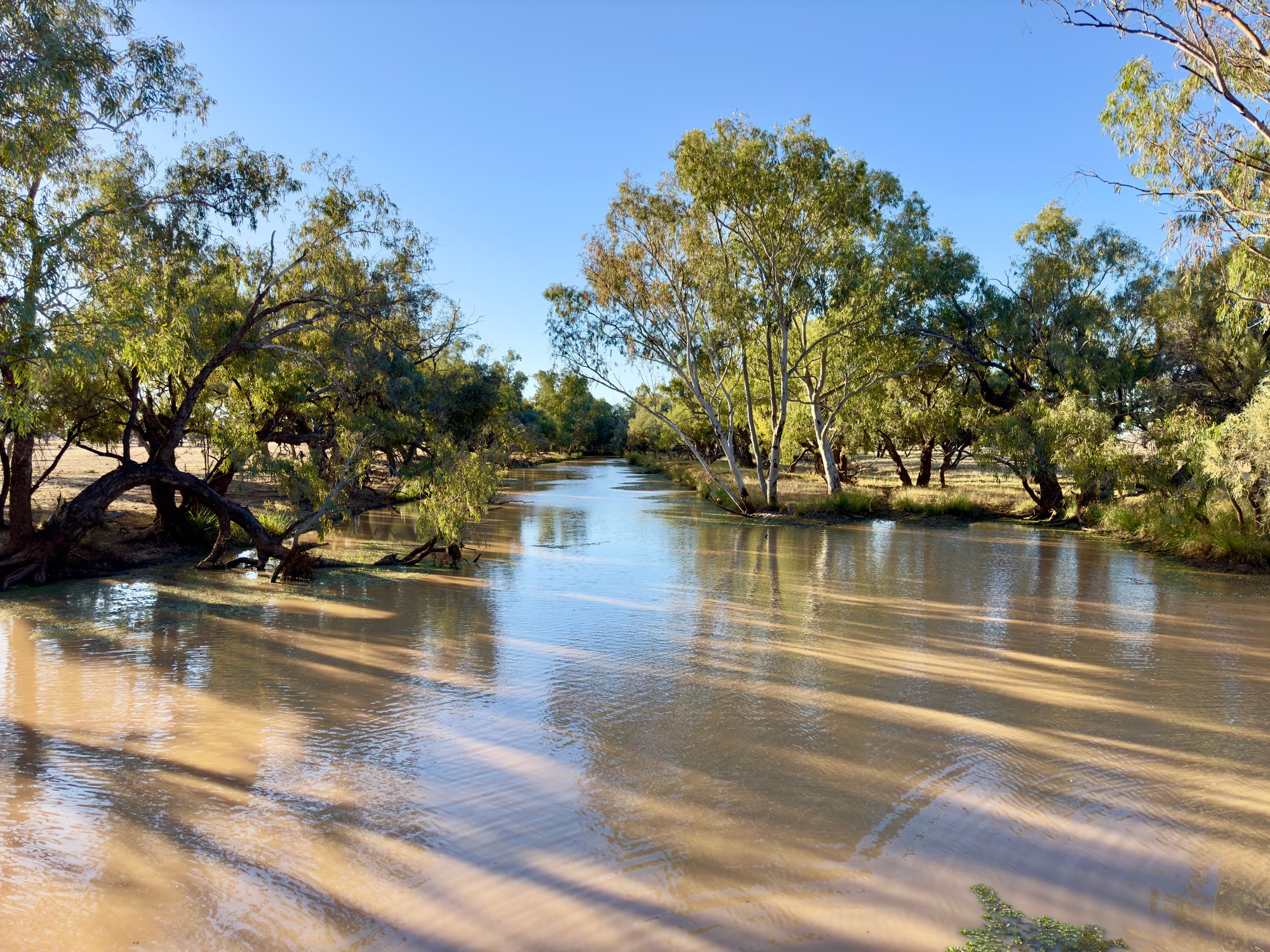
Bulloo River
- Boat Ramps
- 0
- Access Points
- 0
- Campsites
- 6
The Bulloo River is an isolated drainage system in western Queensland, stretching approximately 600 km from its source in the Grey Range near Idalia National Park to its terminus at the ephemeral Bulloo Lake. The river drains a basin of roughly 75,534 square kilometres, passing through the towns of Adavale and Thargomindah in the Shire of Bulloo.
The most important fact for any paddler to understand is that the Bulloo River is usually dry. It is an ephemeral watercourse, meaning it only flows following significant rainfall events. Any paddling opportunity is therefore entirely dependent on flood or post-flood conditions rather than reliable seasonal flow. When the river does flood, its floodplain extends into northern New South Wales and becomes an important habitat for waterbirds.
At Quilpie, a riverside walk follows the Bulloo River along the Diamantina Developmental Road, and the area offers fishing for Yellowbelly (Golden perch) and yabbies. Basic facilities at this location include a carpark and picnic area. The surrounding landscape reflects the character of outback western Queensland, with native flora documented along interpretive signage on the walking track.
The river and its catchment hold cultural significance as the traditional country of the Kalili people, whose language region encompasses the broader area including Eulo and Thargomindah.
Given the river's ephemeral nature, it is not a practical destination for planned paddling trips under normal conditions. Paddlers interested in this waterway would need to monitor local rainfall and flood events closely and be prepared for remote, outback conditions with limited infrastructure.
Water access, boat ramps & amenities
Learn how to get on Bulloo River. Uncover great paddling access points, boat ramps, and all the facilities you need for an unforgettable day on the water. Some locations shown may border or include private property. Always check property boundaries and applicable regulations before visiting. PaddleWays's Public & Private Land layer can help you plan your access with confidence.
Paddle smarter with real-time insights
Whether you're en route and conditions shift or you're looking for the best spot based on current flows, we enable you to make informed decisions on the fly.







Queensland licenses and regulations

Find Places to Paddle

Over 400,000 Places to Paddle
Every user gets free access to launch points, boat ramps, and public property parcels.


Water and weather conditions (10 day forecast)
See the best times to paddle Bulloo River and check the forecast before you go.
Bulloo River At Autumnvale
All Flow Stations
Paddling near Bulloo River
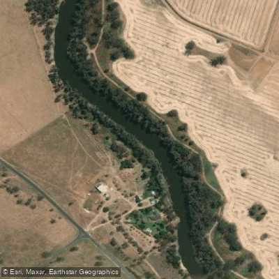
Macquarie River
Bogan River
Cudgegong River
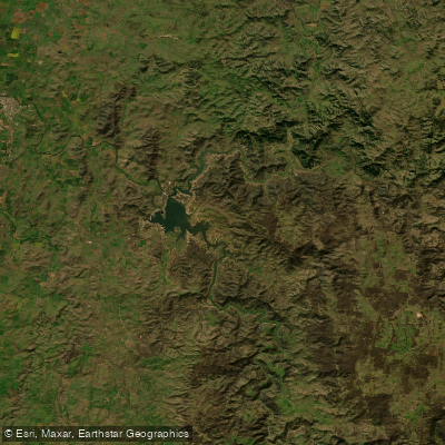
Lake Burrendong
Deep Creek
Branch Creek
Scrubby Creek
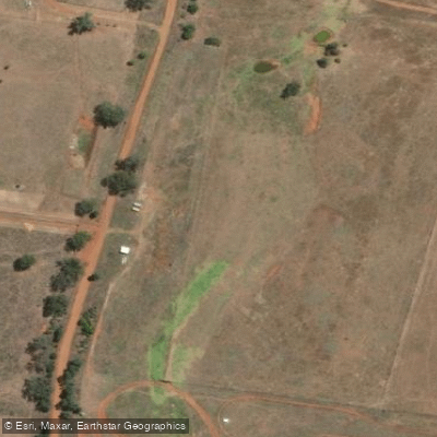
Boundary Creek
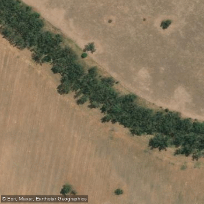
Crooked Creek
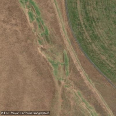
Stony Creek
Explore Queensland waters
Top paddling waters
No waters available right now.
Popular Cities
Loading popular cities...
Explore near Bulloo River
Access points
Nearby waters
More in Queensland

Smarter Paddling Starts in the App.
Paddleways gives you everything you need to plan smarter, paddle better, and own every trip from first launch to takeout.