Condamine River
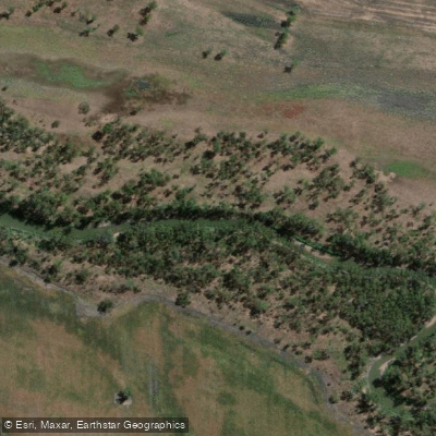
Condamine River
- Boat Ramps
- 2
- Access Points
- 1
- Campsites
- 8
The Condamine River rises on Mount Superbus, South East Queensland's highest peak, on the western slopes of the Great Dividing Range, approximately 100 kilometres from the east coast of Queensland. From there it flows north-west across the Darling Downs, then west for approximately 500 kilometres before eventually becoming the Balonne River near Surat. As the headwaters of the Murray-Darling Basin — Australia's longest river system — the Condamine holds considerable geographical and ecological significance, draining the northern portion of the Darling Downs through some of Queensland's richest agricultural country.
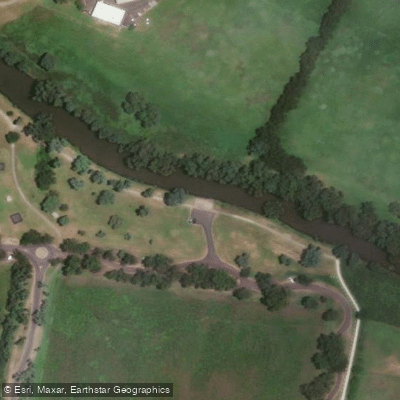
The river offers a range of paddling experiences along its length. At Warwick, the Warwick Paddle Trail provides a well-established route of 5 to 21 kilometres return, with paddling times ranging from 1.5 to 5.5 hours. Conditions are described as sheltered, flowing, and lightly trafficked. The primary launch site is a concrete ramp at Federation Park, accessible via Victoria Street, with toilets nearby. An alternative launch point is located just upstream of the southern end of SCOTS Weir, on the corner of East Street and Condamine Street.
Further downstream, Cecil Plains has a boat ramp providing access to the largest water storage in Sunwater's Upper Condamine Weirs and Barrages Scheme. Yarramalong Weir, in the Toowoomba Region, impounds a pool of river water and offers a free campground and boat ramp. Chinchilla Weir is noted for its island loops and divergent channels. Archers Crossing near Chinchilla is another recognised access point with historical and cultural significance — scar trees in the adjacent forest indicate use by the Barunggum people long before European settlement.
Wildlife along the river includes Murray cod, golden perch, silver perch, tandan, wood ducks, corellas, and kingfishers, with bottlebrush vegetation common along the banks. The catchment has experienced significant degradation over time due to intensive land use, with over 60% of aquatic habitat considered in poor condition, and the floodplains noted as easily eroded. Water quality can be variable, and prospective paddlers should be aware that blue-green algae has been recorded in the broader Murray-Darling system during low-flow periods, though conditions vary considerably by location and season.
Water access, boat ramps & amenities
Learn how to get on Condamine River. Uncover great paddling access points, boat ramps, and all the facilities you need for an unforgettable day on the water. Some locations shown may border or include private property. Always check property boundaries and applicable regulations before visiting. PaddleWays's Public & Private Land layer can help you plan your access with confidence.
Paddle smarter with real-time insights
Whether you're en route and conditions shift or you're looking for the best spot based on current flows, we enable you to make informed decisions on the fly.







Queensland licenses and regulations

Find Places to Paddle

Over 400,000 Places to Paddle
Every user gets free access to launch points, boat ramps, and public property parcels.


Water and weather conditions (10 day forecast)
See the best times to paddle Condamine River and check the forecast before you go.
Condamine River At Chinchilla
All Flow Stations
Paddling near Condamine River
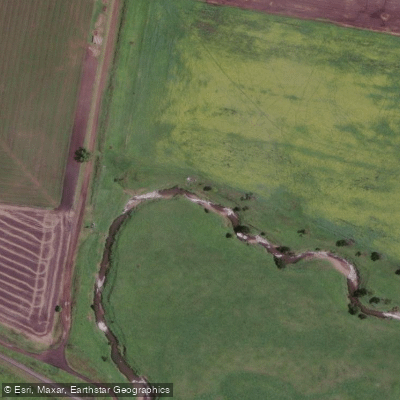
Gowrie Creek
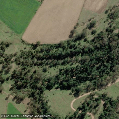
Cressbrook Creek
Oakey Creek
Lake Wivenhoe
Bremer River
Brisbane River
Dry Creek

Cooby Creek
Heifer Creek
Explore Queensland waters
Top paddling waters
No waters available right now.
Popular Cities
Loading popular cities...
Explore near Condamine River
Access points
Nearby waters
More in Queensland

Smarter Paddling Starts in the App.
Paddleways gives you everything you need to plan smarter, paddle better, and own every trip from first launch to takeout.