Cooby Creek

Cooby Creek
- Boat Ramps
- 0
- Access Points
- 0
- Campsites
- 0
Cooby Creek is impounded by Cooby Dam, a rock-fill embankment dam located approximately 17 kilometres north of Toowoomba in the Darling Downs region of Queensland. The resulting reservoir, known as Cooby Creek Reservoir, is the primary paddling venue on this waterway. The dam was constructed in 1938 and opened in 1942, and is operated by the Toowoomba Region Council primarily as a potable water supply for the Toowoomba region.
Access to the water is provided via a dual-lane concrete boat ramp at Groomsville, reached via Creek Road. The ramp gives paddlers straightforward entry to the calm reservoir waters. Kayaking and paddleboarding are both permitted on the reservoir, and the flat, sheltered nature of the impoundment makes it suitable for recreational paddling. Swimming is not permitted in the reservoir, as it serves as a drinking water supply.
Fishing is a significant activity at the reservoir, with the water stocked with yellow perch, silver perch, Murray cod, and Tandan. Anglers require a Stocked Impoundment Permit (SIP), obtainable online, though it is worth confirming whether this requirement extends to paddlers who may incidentally interact with fishing areas. Paddlers should be aware of fishing activity, particularly around the boat ramp and shoreline areas.
Onshore facilities are well maintained and include undercover gazebos, picnic tables, BBQ areas, toilets, a children's playground, and ample parking. The surrounding area features open grassy spaces and tree cover, with views across the water. The reservoir sits within the broader Darling Downs landscape, roughly 17 kilometres from Toowoomba, making it a practical day-trip destination for paddlers based in or passing through the region.
Water access, boat ramps & amenities
Learn how to get on Cooby Creek. Uncover great paddling access points, boat ramps, and all the facilities you need for an unforgettable day on the water. Some locations shown may border or include private property. Always check property boundaries and applicable regulations before visiting. PaddleWays's Public & Private Land layer can help you plan your access with confidence.
Paddle smarter with real-time insights
Whether you're en route and conditions shift or you're looking for the best spot based on current flows, we enable you to make informed decisions on the fly.







Queensland licenses and regulations

Find Places to Paddle

Over 400,000 Places to Paddle
Every user gets free access to launch points, boat ramps, and public property parcels.


Water and weather conditions (10 day forecast)
See the best times to paddle Cooby Creek and check the forecast before you go.
Cooby Creek Stream Flow
All Flow Stations
Paddling near Cooby Creek
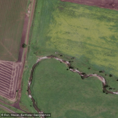
Gowrie Creek
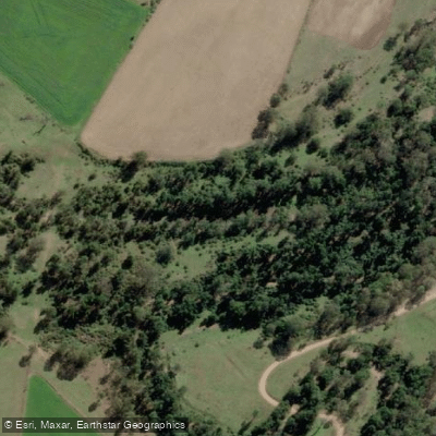
Cressbrook Creek
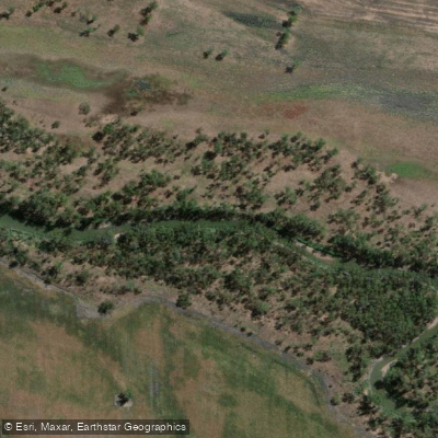
Condamine River
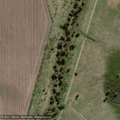
Oakey Creek
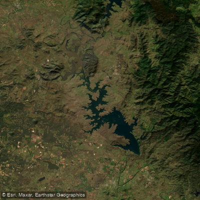
Lake Wivenhoe
Bremer River
Brisbane River
Dry Creek
Heifer Creek
Explore Queensland waters
Top paddling waters
No waters available right now.
Popular Cities
Loading popular cities...
Explore near Cooby Creek

Smarter Paddling Starts in the App.
Paddleways gives you everything you need to plan smarter, paddle better, and own every trip from first launch to takeout.