Brisbane River
Brisbane River
- Boat Ramps
- 13
- Access Points
- 7
- Campsites
- 3
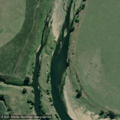
The Brisbane River flows through Queensland's capital city and extends well into the surrounding region, offering paddlers a wide range of experiences from urban city paddling to quieter natural stretches further upstream. The river is tidal through the city, meaning water levels and current direction shift with the tides, and many boat ramps along the river become muddy and slick at low tide, making mid to high tide the preferred time to launch. Starting early in the morning is also recommended to avoid heavier boat traffic.
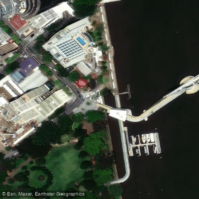
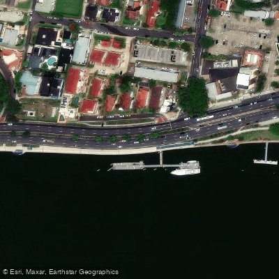
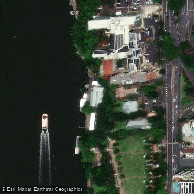
Within the city limits, the river is a fully operational transport corridor shared with ferries, CityCats, and other motorised vessels. Paddlers are required to stay within the designated passive craft lane. Key access points include Kangaroo Point, West End, Dutton Park (which has a dedicated kayak height pontoon for easy entry), Orleigh Park in West End, South Brisbane Riverside Lands Park on Riverside Drive, Sir John Chandler Park at Indooroopilly, and Northshore Riverside Park at Hamilton. The river through the city offers views of the Story Bridge and the Botanical Gardens.
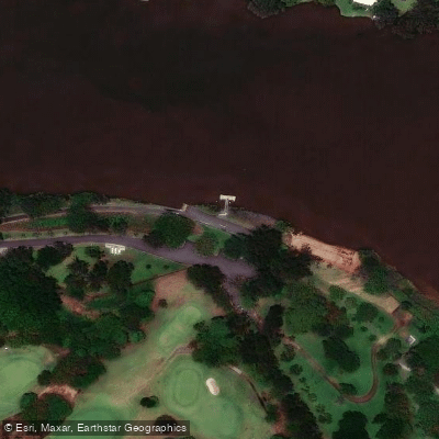
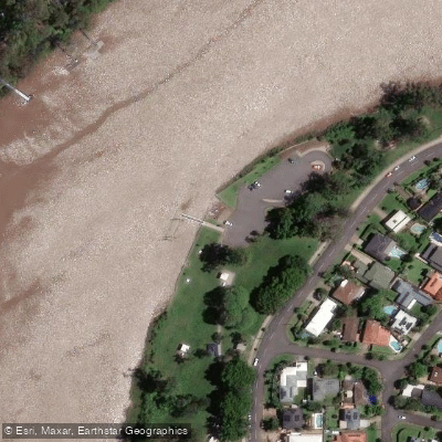
Further upstream, the stretch between Twin Bridges and Lowood provides a markedly different experience. This section is slow-moving and largely natural, running approximately 6 kilometres through a wide pool flanked by bottlebrushes and large gum trees. There are small rapids at Lowood Bend, which are generally manageable but may become more hazardous after storms due to submerged debris. The Twin Bridges put-in allows vehicles to drive to the riverbank for unloading, with parking available a short distance away. This upstream area supports abundant birdlife including sea eagles, cormorants, and kingfishers.
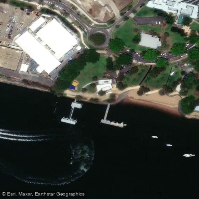
The river water throughout its length is notably murky and muddy in appearance. Locals have noted the presence of sharks in sections near Goodna. The urban sections carry regular commercial and recreational vessel traffic, which paddlers should account for when planning routes and timing. Brisbane City Council maintains a network of pontoons and boat ramps along the river, many of which are accessible to kayaks, canoes, and stand-up paddleboards, with some facilities accommodating vessels up to 25 tonnes. Pontoon stays are generally limited to two hours unless otherwise signed.
Water access, boat ramps & amenities
Learn how to get on Brisbane River. Uncover great paddling access points, boat ramps, and all the facilities you need for an unforgettable day on the water. Some locations shown may border or include private property. Always check property boundaries and applicable regulations before visiting. PaddleWays's Public & Private Land layer can help you plan your access with confidence.
Paddle smarter with real-time insights
Whether you're en route and conditions shift or you're looking for the best spot based on current flows, we enable you to make informed decisions on the fly.







Queensland licenses and regulations

Find Places to Paddle

Over 400,000 Places to Paddle
Every user gets free access to launch points, boat ramps, and public property parcels.


Water and weather conditions (10 day forecast)
See the best times to paddle Brisbane River and check the forecast before you go.
Brisbane River At Savages Crossing
All Flow Stations
Paddling near Brisbane River
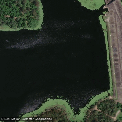
Enoggera Creek

Moreton Bay
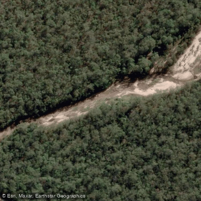
Oxley Creek
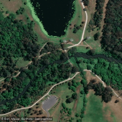
Bulimba Creek
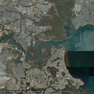
Pine River
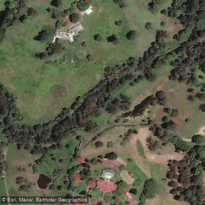
Moggill Creek
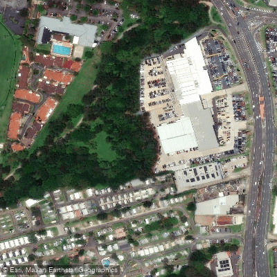
Cabbage Tree Creek
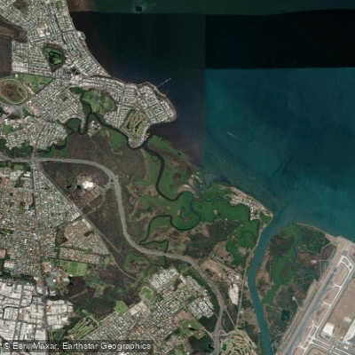
Nundah/Cabbage Tree Creek
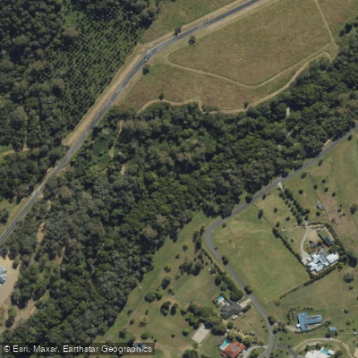
South Pine River
Explore Queensland waters
Top paddling waters
No waters available right now.
Popular Cities
Loading popular cities...
Explore near Brisbane River
Access points
Nearby waters
More in Queensland

Smarter Paddling Starts in the App.
Paddleways gives you everything you need to plan smarter, paddle better, and own every trip from first launch to takeout.