Kati Thanda-Lake Eyre (South)
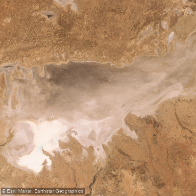
Kati Thanda-Lake Eyre (South)
- Boat Ramps
- 0
- Access Points
- 0
- Campsites
- 0
Kati Thanda-Lake Eyre (South) is part of Australia's largest salt lake system, located approximately 750 kilometres north of Adelaide in outback South Australia. The lake sits at 15.2 metres below sea level, making it the lowest point on the Australian continent. It stretches roughly 144 kilometres by 77 kilometres and was formed approximately 200 million years ago. Under dry conditions, the lake presents a vast, glittering expanse of crystallised salt. When flooded, it transforms dramatically, with waterbirds arriving in large numbers, fish appearing in channels, and wildflowers covering surrounding floodplains. As water begins to evaporate, the lake takes on a pink hue caused by pigment-producing salt-tolerant algae.
Paddlers planning a trip to Kati Thanda-Lake Eyre should be aware that boating on the lake is not permitted under the current national park management plan. Recreational activities including swimming, driving off designated tracks, boating, and landing aircraft are all restricted. A new management plan adopted in early 2025 additionally banned walking on the lake bed. Access to the lake for commercial filming, scientific research, and commercial tours may be considered on a case-by-case basis, subject to a permit and determination of cultural appropriateness by the Arabana Aboriginal Corporation, who hold native title over most of the lake.
The lake is a sacred site for the Arabana people, and the national park is managed in partnership with Arabana and Dieri communities. Visitors are encouraged to view the lake from designated visitor nodes or from the air, with scenic flights being a common way to experience the lake.
Reaching the park requires a four-wheel drive vehicle via unsealed public access routes through pastoral stations. The Halligan Bay Point Public Access Route and associated campground close annually from 1 December to 15 March due to extreme summer heat, which can exceed 50 degrees Celsius. Autumn and winter are the recommended visiting periods. Travellers must carry reserves of fuel, water, and food, travel in convoy, and check current track conditions via the Desert Parks Bulletin before departure.
The lake fills to capacity only approximately three times every 160 years, with smaller partial floods occurring more frequently — roughly a 1.5-metre flood every three years and a larger four-metre flood approximately every decade.
Water access, boat ramps & amenities
Learn how to get on Kati Thanda-Lake Eyre (South). Uncover great paddling access points, boat ramps, and all the facilities you need for an unforgettable day on the water. Some locations shown may border or include private property. Always check property boundaries and applicable regulations before visiting. PaddleWays's Public & Private Land layer can help you plan your access with confidence.
Paddle smarter with real-time insights
Whether you're en route and conditions shift or you're looking for the best spot based on current flows, we enable you to make informed decisions on the fly.







South Australia licenses and regulations

Find Places to Paddle

Over 400,000 Places to Paddle
Every user gets free access to launch points, boat ramps, and public property parcels.


Water and weather conditions (10 day forecast)
See the best times to paddle Kati Thanda-Lake Eyre (South) and check the forecast before you go.
No forecast data available.
Paddling near Kati Thanda-Lake Eyre (South)
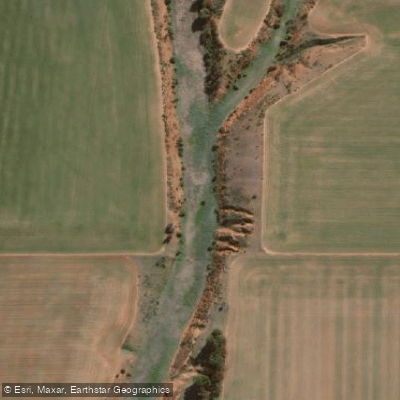
Pine Creek
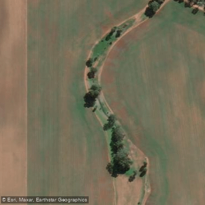
Rocky River Creek
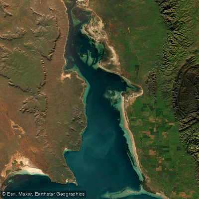
Northern Spencer Gulf
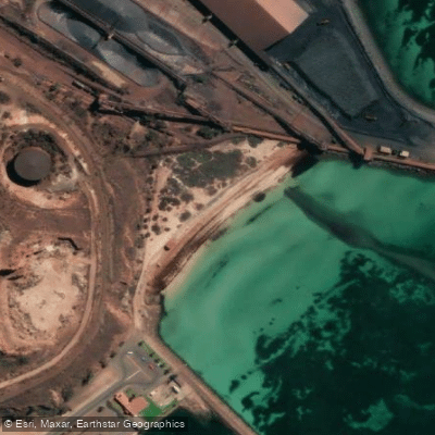
New Beach
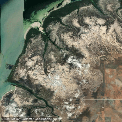
Fisherman Creek
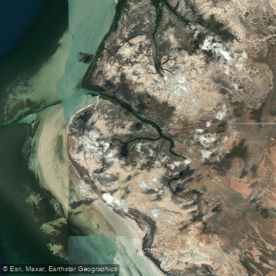
Port Davis Creek/Broughton River Estuary
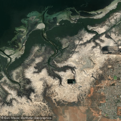
Second Creek
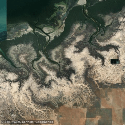
Third Creek
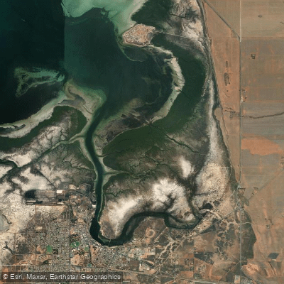
Port Pirie
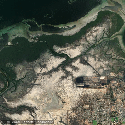
First Creek
Explore South Australia waters
Top paddling waters
No waters available right now.
Popular Cities
Loading popular cities...
Explore near Kati Thanda-Lake Eyre (South)

Smarter Paddling Starts in the App.
Paddleways gives you everything you need to plan smarter, paddle better, and own every trip from first launch to takeout.