Rocky River Mouth
- Saltwater
- Beach
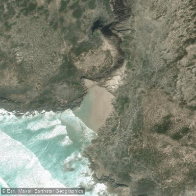
Rocky River Mouth
- Saltwater
- Beach
- Sq. miles
- 0
- Boat Ramps
- 0
- Access Points
- 0
- Campsites
- 0
The Rocky River Mouth is located within Flinders Chase National Park on Kangaroo Island, South Australia. It is primarily referenced as a hiking destination along the Kangaroo Island Wilderness Trail and the Snake Lagoon Walk, with the trail leading directly onto a sandy beach at the river's outlet to the Southern Ocean. This beach provides the primary access point for paddlers. North Coast Road runs past the beach, providing parking and beach access. The carry distance to the water is short, as the trail deposits you directly onto the sand. The overall character is that of a wild and rugged coastline on the island's south-western coast, exposed to the full force of the Southern Ocean. The beach is flanked by hills and cliffs, and a notable cave is present on an adjacent hill. The area is remote, within a national park, and the vibe is one of pristine wilderness.
Paddling conditions are heavily influenced by tide and swell. A low tide route crosses the sandy beach, while a separate high tide trail is used when the beach is covered or when waves and swells are high, indicating significant tidal variation and potential for strong surf and shore-break at the mouth. This exposure makes it a challenging launch and landing site suitable only for experienced paddlers comfortable in dynamic ocean conditions. The best time for paddling would coincide with calm seas and low swell periods, typically during the austral summer months. The river itself may be pooled or not flowing at times. From this launch, paddlers can explore the dramatic coastline, including views of the cliffs above the river mouth and access to nearby Maupertuis Bay. The area is known for its unique coastal plants and wildlife, including kangaroos. Facilities are limited to the context of a national park wilderness area; the Snake Lagoon campground is nearby.
Water access, boat ramps & amenities
Learn how to get on Rocky River Mouth. Uncover great paddling access points, boat ramps, and all the facilities you need for an unforgettable day on the water. Some locations shown may border or include private property. Always check property boundaries and applicable regulations before visiting. PaddleWays's Public & Private Land layer can help you plan your access with confidence.
Paddle smarter with real-time insights
Whether you're en route and conditions shift or you're looking for the best spot based on current flows, we enable you to make informed decisions on the fly.







South Australia licenses and regulations

Find Places to Paddle

Over 400,000 Places to Paddle
Every user gets free access to launch points, boat ramps, and public property parcels.


Tides, wind & water conditions (10 day forecast)
On open water, wind and tide matter as much as the weather. See the best times to paddle Rocky River Mouth and check the marine forecast before you launch.
Loading tide predictions…
Paddling near Rocky River Mouth
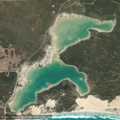
Sleaford Mere
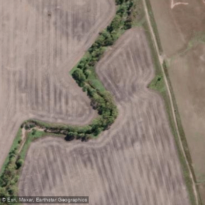
Minniribbie Creek
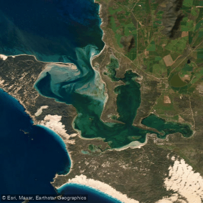
Port Douglas/Coffin Bay
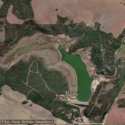
Tod Reservoir
Salt Creek
Shelly Beach
Salt Creek
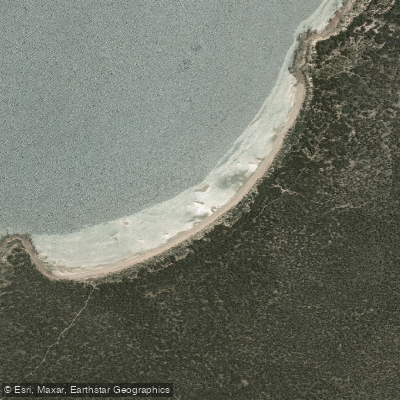
Woodcutters Beach
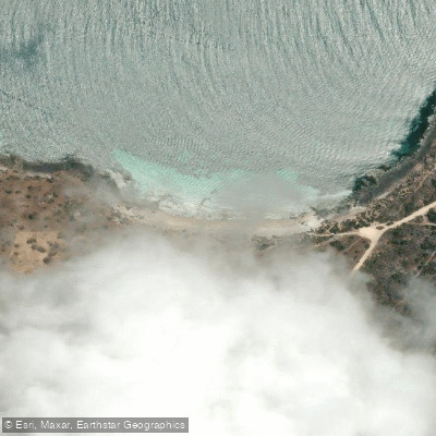
Donington Beach
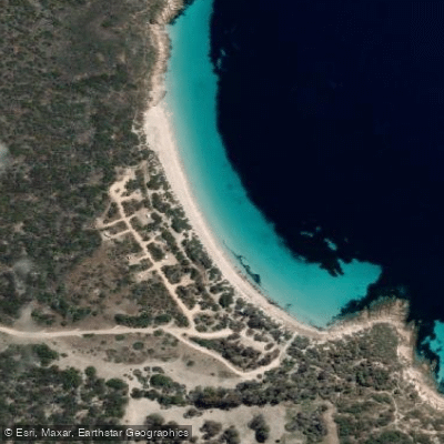
September Beach
Explore South Australia waters
Top paddling waters
No waters available right now.
Popular Cities
Loading popular cities...
Explore near Rocky River Mouth

Smarter Paddling Starts in the App.
Paddleways gives you everything you need to plan smarter, paddle better, and own every trip from first launch to takeout.