Warburton River
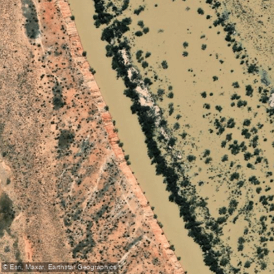
Warburton River
- Boat Ramps
- 0
- Access Points
- 0
- Campsites
- 0
The Warburton River, also known as Warburton Creek, is a freshwater stream in the far north of South Australia, stretching approximately 412 km from its source at Goyder Lagoon (at 24 m elevation) southwest to its mouth at the eastern side of Lake Eyre, which sits at 15 m below sea level. The river runs along the eastern side of the Simpson Desert and drains water from the Eyre Creek, Diamantina, and Georgina river systems. It passes through a number of permanent and semi-permanent waterholes, including Poothapootha, Emu Bone, and Wurdoopoothanie waterholes, as well as the Kalawarranna soakage.
The river flows only during infrequent floods, making paddling entirely dependent on sufficient water levels — a critical planning consideration. When water is present, one documented put-in is at Cowarie, a cattle station located approximately 220 km north of Marree and just west of the Birdsville Track, straddling the Sturt Stony Desert and the Simpson Desert. From Cowarie, the river runs approximately 220 km downstream before spilling into Lake Eyre.
The character of the lower Warburton is notably estuarine in feel, with narrow channels crowded by densely packed lignum shrubs. The remote desert location means temperatures can drop sharply at night, with frost a real possibility — paddlers should plan for cold overnight conditions despite the arid surroundings. There are no crocodiles in this region due to the cold temperatures.
Where the Warburton enters Lake Eyre, it has carved a 90 km channel known as the Warburton Groove, running south through Lake Eyre North toward Dulhunty Island and ultimately toward Belt Bay, the lowest point in Australia at 15.2 m below sea level. Any extension of a Warburton paddle onto Lake Eyre itself requires careful assessment of wind conditions and water levels, as the lake is vast and exposed.
Water access, boat ramps & amenities
Learn how to get on Warburton River. Uncover great paddling access points, boat ramps, and all the facilities you need for an unforgettable day on the water. Some locations shown may border or include private property. Always check property boundaries and applicable regulations before visiting. PaddleWays's Public & Private Land layer can help you plan your access with confidence.
Paddle smarter with real-time insights
Whether you're en route and conditions shift or you're looking for the best spot based on current flows, we enable you to make informed decisions on the fly.







South Australia licenses and regulations

Find Places to Paddle

Over 400,000 Places to Paddle
Every user gets free access to launch points, boat ramps, and public property parcels.


Water and weather conditions (10 day forecast)
See the best times to paddle Warburton River and check the forecast before you go.
Warburton River At Poothapoota Water Hole
All Flow Stations
Paddling near Warburton River
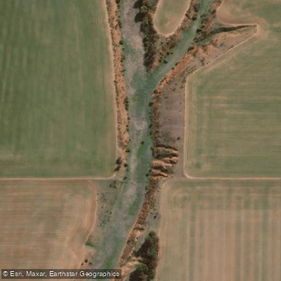
Pine Creek
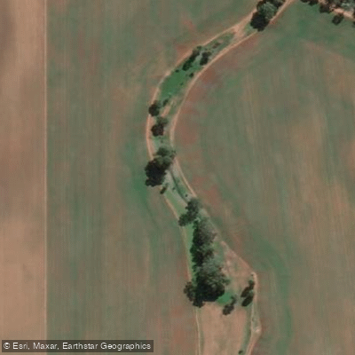
Rocky River Creek
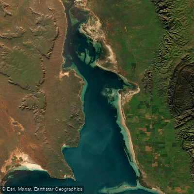
Northern Spencer Gulf
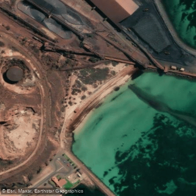
New Beach
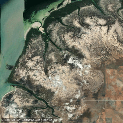
Fisherman Creek
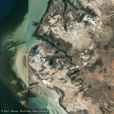
Port Davis Creek/Broughton River Estuary
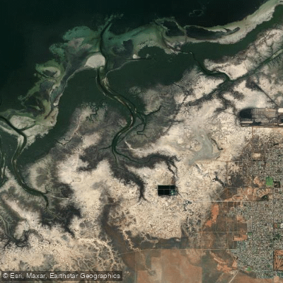
Second Creek
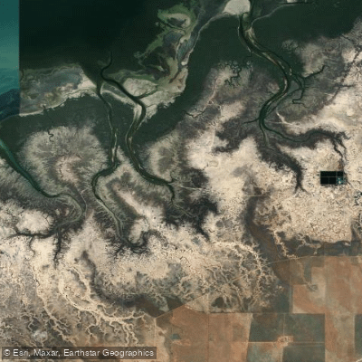
Third Creek
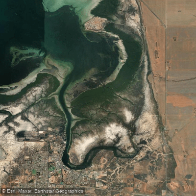
Port Pirie
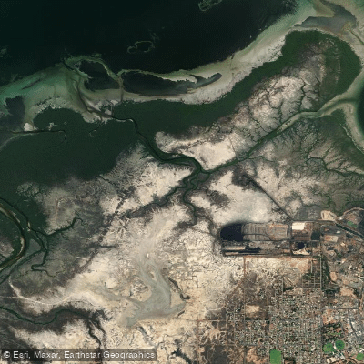
First Creek
Explore South Australia waters
Top paddling waters
No waters available right now.
Popular Cities
Loading popular cities...
Explore near Warburton River

Smarter Paddling Starts in the App.
Paddleways gives you everything you need to plan smarter, paddle better, and own every trip from first launch to takeout.