West Bay
- Saltwater
- Beach
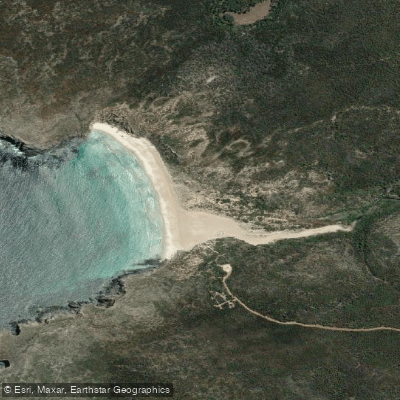
West Bay
- Saltwater
- Beach
- Sq. miles
- 0.1
- Boat Ramps
- 0
- Access Points
- 0
- Campsites
- 0
West Bay is a remote beach on the southwest coast of Kangaroo Island, within Flinders Chase National Park. It is an exposed coastal location facing the Southern Ocean, characterized by significant surf and swell. The bay is bounded by Cape Bedout to the north and Paisley Islet to the south, marking the entrance to the bay. Paddling here is a serious undertaking for experienced sea kayakers only, due to the powerful and unpredictable conditions. The coastline features numerous remote beaches, exposed to thumping surf. Launching and landing are particularly nervous parts of a sea kayaking day here, requiring careful assessment of swell size. Winds, particularly from the southwest and west, can build strongly and create difficult conditions, including driving paddlers toward rocky shores and generating hazardous clapotis waves. The area is known for its rugged, pristine wilderness aesthetic. Notable sights reachable by paddlers from West Bay include the dramatic Remarkable Rocks and Cape Du Couedic to the east, and the historic shipwreck of the Loch Vennachar lies just offshore. The bay is adjacent to the Casuarina Islets and Admirals Arch, which is home to a colony of fur seals. Access is via West Bay Road and Shackle Road, but these roads may be closed seasonally following rain events, making the campground and beach inaccessible. Paddlers must check park alerts for current access information. There are no described facilities at the beach itself. The overall vibe is one of isolation and raw natural power, suitable only for highly skilled paddlers prepared for self-sufficient, multi-day expeditions along an exposed and committing coastline.
Water access, boat ramps & amenities
Learn how to get on West Bay. Uncover great paddling access points, boat ramps, and all the facilities you need for an unforgettable day on the water. Some locations shown may border or include private property. Always check property boundaries and applicable regulations before visiting. PaddleWays's Public & Private Land layer can help you plan your access with confidence.
Paddle smarter with real-time insights
Whether you're en route and conditions shift or you're looking for the best spot based on current flows, we enable you to make informed decisions on the fly.







South Australia licenses and regulations

Find Places to Paddle

Over 400,000 Places to Paddle
Every user gets free access to launch points, boat ramps, and public property parcels.


Tides, wind & water conditions (10 day forecast)
On open water, wind and tide matter as much as the weather. See the best times to paddle West Bay and check the marine forecast before you launch.
Loading tide predictions…
Paddling near West Bay
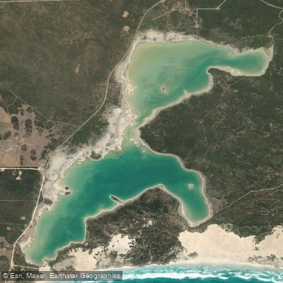
Sleaford Mere
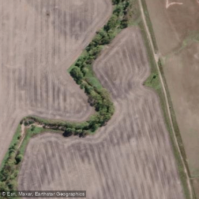
Minniribbie Creek
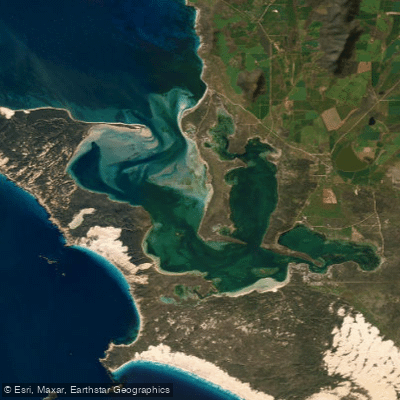
Port Douglas/Coffin Bay
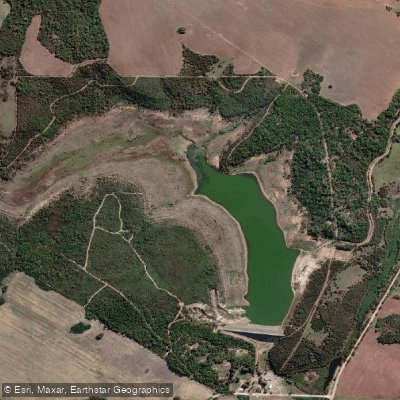
Tod Reservoir
Salt Creek
Shelly Beach
Salt Creek
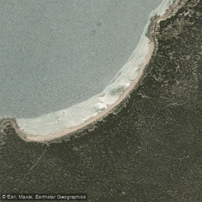
Woodcutters Beach
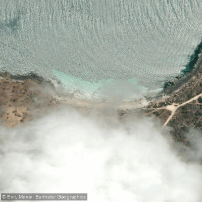
Donington Beach
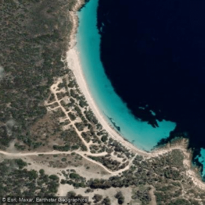
September Beach
Explore South Australia waters
Top paddling waters
No waters available right now.
Popular Cities
Loading popular cities...
Explore near West Bay

Smarter Paddling Starts in the App.
Paddleways gives you everything you need to plan smarter, paddle better, and own every trip from first launch to takeout.