Arthur River
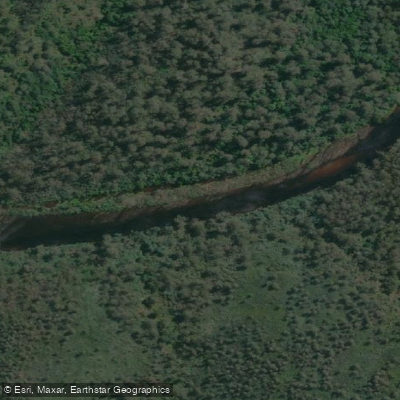
Arthur River
- Boat Ramps
- 1
- Access Points
- 0
- Campsites
- 3
The Arthur River is located on Tasmania's remote west coast, flowing through the Arthur-Pieman Conservation Area before reaching the Southern Ocean. The river drains a large catchment and can rise dramatically and without warning, making weather awareness essential for any paddling trip. The combination of a warm, dry summer followed by a cold front can bring extreme winds and cold temperatures rather than heavy rain, so paddlers should monitor forecasts carefully in the days leading up to a trip.
The river offers multi-day paddling routes of varying lengths. A full run from Blackwells Bridge to the sea covers approximately 120 kilometres, while a shorter entry point at Tayatea Bridge reduces the journey to around 80 kilometres over four days. A popular shorter option involves hiring a canoe from Arthur River Canoe and Boat Hire in the township of Arthur River and paddling upstream to a campsite roughly 15 kilometres from the put-in, just past the junction with the Frankland River. The steep, densely vegetated riverbanks and large log piles deposited by floods can make access to the river's edge difficult in places, and navigation to informal campsites can be challenging without reliable maps.
The lower reaches of the river transition to brackish water as it approaches the sea, and the final stretch involves flat-water paddling that can be affected by headwinds. Wildlife along the banks includes white-bellied sea eagles and various bird species. A boat ramp at the township of Arthur River provides river access, though ocean access requires a 4WD vehicle via the beaches, and swells of four metres or above make beach driving inadvisable. The Parks and Wildlife Service Tasmania manages the surrounding conservation area.
The river is noted for its wilderness character, with stretches well beyond mobile phone coverage. Salmon and trout are present in the river. Paddlers should be prepared for remote conditions, as the densely vegetated terrain and flood debris can complicate both navigation and camp access.
Water access, boat ramps & amenities
Learn how to get on Arthur River. Uncover great paddling access points, boat ramps, and all the facilities you need for an unforgettable day on the water. Some locations shown may border or include private property. Always check property boundaries and applicable regulations before visiting. PaddleWays's Public & Private Land layer can help you plan your access with confidence.
Paddle smarter with real-time insights
Whether you're en route and conditions shift or you're looking for the best spot based on current flows, we enable you to make informed decisions on the fly.








Find Places to Paddle

Over 400,000 Places to Paddle
Every user gets free access to launch points, boat ramps, and public property parcels.


Water and weather conditions (10 day forecast)
See the best times to paddle Arthur River and check the forecast before you go.
No forecast data available.
Paddling near Arthur River
Inglis River
Camp Creek
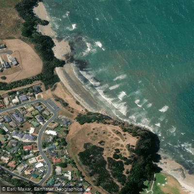
Fossil Bluff
Blythe River
Hellyer River
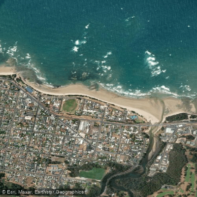
Somerset Beach
River Leven
Fairlands Beach
River Forth
Explore Tasmania waters
Top paddling waters
No waters available right now.
Popular Cities
Loading popular cities...
Explore near Arthur River

Smarter Paddling Starts in the App.
Paddleways gives you everything you need to plan smarter, paddle better, and own every trip from first launch to takeout.