Inglis River
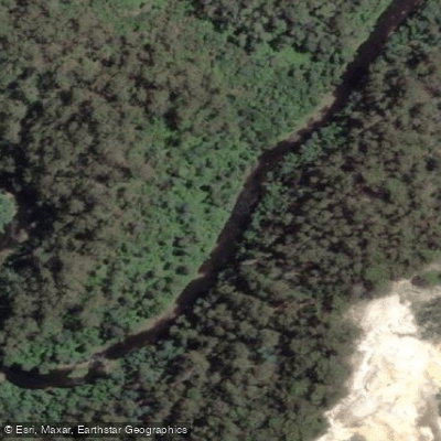
Inglis River
- Boat Ramps
- 3
- Access Points
- 0
- Campsites
- 1
The Inglis River runs approximately 61 kilometres through North West Tasmania, rising in the Campbell Ranges near Takone at an elevation of around 507 metres before discharging into Bass Strait at Wynyard. The catchment basin covers 471 square kilometres, with the Flowerdale River being the largest tributary, accounting for roughly one-third of the total catchment area.
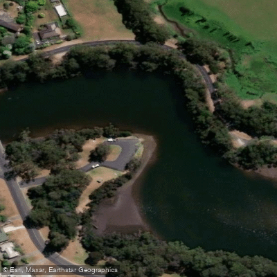
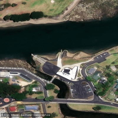
The paddling character of the river varies considerably depending on where you put in. Near Wynyard, the lower section is tidal estuary, and conditions here are strongly influenced by tidal state. At low tide, extensive sand banks are exposed in the open estuary section between the river mouth and the first bridge, requiring paddlers to navigate carefully between shallows while contending with wind and current. A boat ramp on the eastern side of the river beside the train line provides a practical put-in point for this lower section. Timing a paddle to coincide with a rising or high tide will make the lower estuary section considerably more manageable.
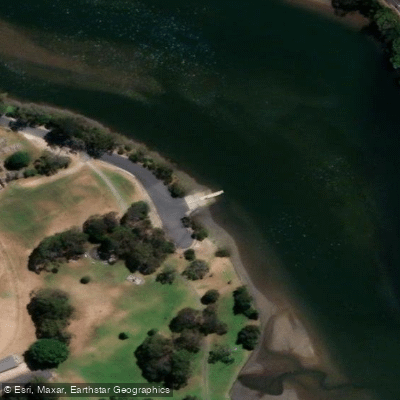
Upstream of the tidal zone, the river takes on a more sheltered character. This section is accessible from a camping area near the head of the navigable reach, where paddlers can launch directly from the riverbank. The upper reaches offer a more protected paddle compared to the exposed estuary. The river corridor includes areas of open space and forest, and the surrounding landscape supports local wildlife.
The Inglis River Caravan and Camping Retreat, located approximately six minutes from Wynyard, sits directly on the river and provides camping facilities for those wanting to base themselves on the water. The property offers river access for kayaking, swimming, and fishing. A rope swing over the river is a notable feature at this location and is actively used by locals, so paddlers should be aware of swimmers in the water near the camping area.
Paddlers exploring the lower estuary should plan around tidal cycles, as a receding tide can leave very little water over the sand flats, making return trips on foot a real possibility if timing is misjudged.
Water access, boat ramps & amenities
Learn how to get on Inglis River. Uncover great paddling access points, boat ramps, and all the facilities you need for an unforgettable day on the water. Some locations shown may border or include private property. Always check property boundaries and applicable regulations before visiting. PaddleWays's Public & Private Land layer can help you plan your access with confidence.
Paddle smarter with real-time insights
Whether you're en route and conditions shift or you're looking for the best spot based on current flows, we enable you to make informed decisions on the fly.








Find Places to Paddle

Over 400,000 Places to Paddle
Every user gets free access to launch points, boat ramps, and public property parcels.


Water and weather conditions (10 day forecast)
See the best times to paddle Inglis River and check the forecast before you go.
No forecast data available.
Paddling near Inglis River
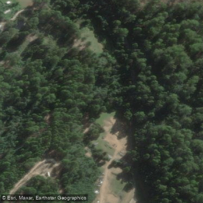
Camp Creek
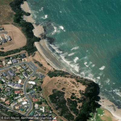
Fossil Bluff
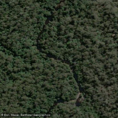
Blythe River
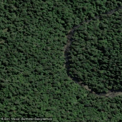
Hellyer River
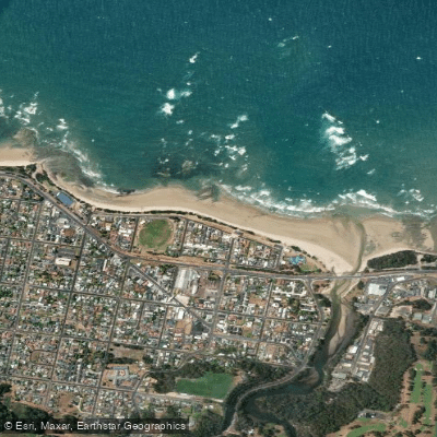
Somerset Beach
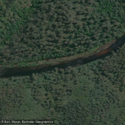
Arthur River
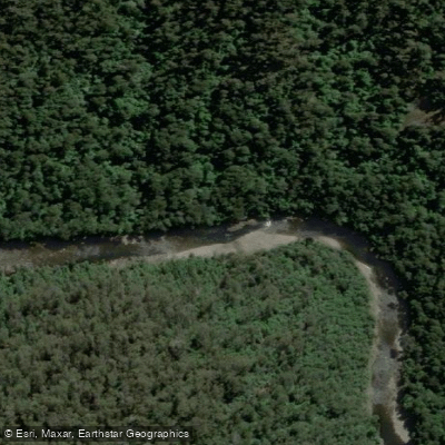
River Leven
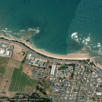
Fairlands Beach
River Forth
Explore Tasmania waters
Top paddling waters
No waters available right now.
Popular Cities
Loading popular cities...
Explore near Inglis River

Smarter Paddling Starts in the App.
Paddleways gives you everything you need to plan smarter, paddle better, and own every trip from first launch to takeout.