Hellyer River
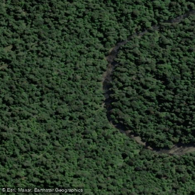
Hellyer River
- Boat Ramps
- 0
- Access Points
- 0
- Campsites
- 2
The Hellyer River in Tasmania's northwest flows through forestry concessions and the Milkshakes reserve, offering a mix of technical whitewater in its upper reaches and more accessible paddling downstream. The river runs through a shallow valley and provides numerous rainforest vistas throughout its length.
The upper Hellyer, above Hellyer Gorge, is considerably more technical and difficult, and is only runnable after recent rainfall. Below Takone West, the river can be paddled year-round, though conditions after January may be somewhat scratchy due to lower water levels. The wet season runs mainly from June to October, though unseasonal rainfall is common, particularly on the West Coast.
Four distinct trips are commonly paddled on the Hellyer. The first runs from Cradle Link Road to Hellyer Gorge, covering 16 km in approximately 3–4 hours at grade three, featuring excellent scenery and numerous 1–2 metre drops. Logs across the river are a noted hazard on this section. The second trip runs from Hellyer Gorge to Blackwells Bridge, also 16 km and taking around 3 hours, consisting mainly of grade 1–2 rapids over rock shelves, with a 30-minute car shuttle. The third trip, Blackwells Bridge to Takone West Bridge, covers 17 km in about 3.5 hours; the first 15 km is grade 1–2, finishing with a longer grade 3 rapid known as "the Mouth" just before the Takone West bridge.
The Hellyer connects with the Arthur River, and the combined Arthur/Hellyer system offers a 165 km journey from Hellyer Gorge to Arthur River Heads, described as a 6-day camping trip suitable for most beginners who can paddle in a straight line. Camp sites are plentiful along the route. The lower sections of the river have received recognition as among the best day paddles in Australia, with the river noted for its numerous waterfalls. The overall character of the river shifts from demanding technical whitewater in the upper gorge to a more accessible, rainforest-lined journey through the lower valley.
Water access, boat ramps & amenities
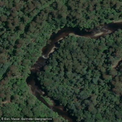
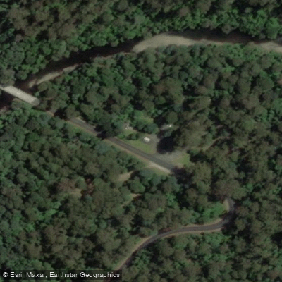
Learn how to get on Hellyer River. Uncover great paddling access points, boat ramps, and all the facilities you need for an unforgettable day on the water. Some locations shown may border or include private property. Always check property boundaries and applicable regulations before visiting. PaddleWays's Public & Private Land layer can help you plan your access with confidence.
Paddle smarter with real-time insights
Whether you're en route and conditions shift or you're looking for the best spot based on current flows, we enable you to make informed decisions on the fly.








Find Places to Paddle

Over 400,000 Places to Paddle
Every user gets free access to launch points, boat ramps, and public property parcels.


Water and weather conditions (10 day forecast)
See the best times to paddle Hellyer River and check the forecast before you go.
Hellyer River - Guildford Junction
All Flow Stations
Paddling near Hellyer River
Blythe River
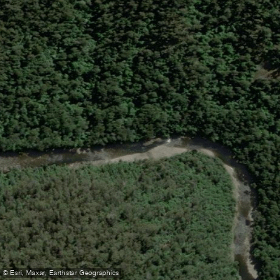
River Leven
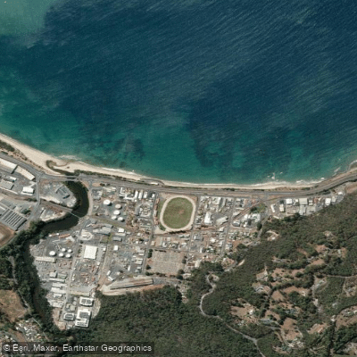
Wivenhoe Beach
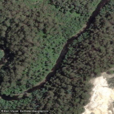
Inglis River
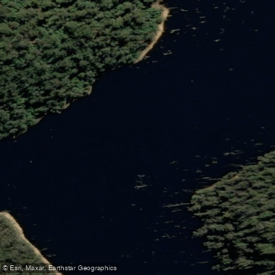
River Forth
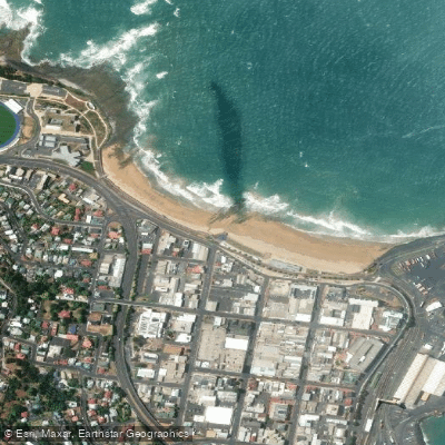
West Beach
Camp Creek
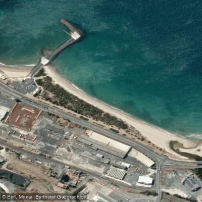
South Burnie Beach
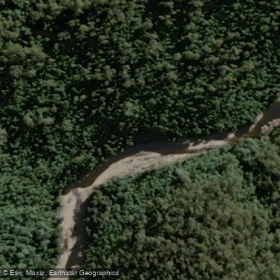
Wilmot River
Explore Tasmania waters
Top paddling waters
No waters available right now.
Popular Cities
Loading popular cities...
Explore near Hellyer River
Access points
Nearby waters
More in Tasmania

Smarter Paddling Starts in the App.
Paddleways gives you everything you need to plan smarter, paddle better, and own every trip from first launch to takeout.