Forth Falls Creek
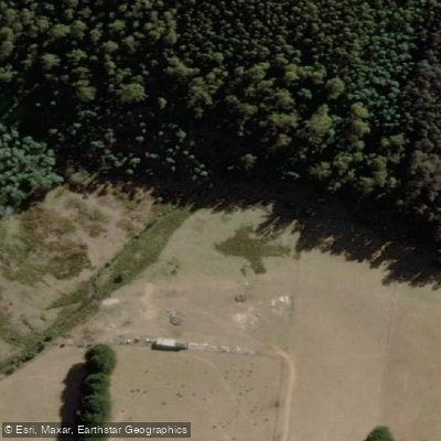
Forth Falls Creek
- Boat Ramps
- 0
- Access Points
- 0
- Campsites
- 0
Forth Falls Creek is a small waterway in Tasmania's northwest that drains through the Forth Falls State Reserve before emptying into Lake Barrington, near Wilmot. The creek is home to a series of waterfalls and cascades, and for paddlers, the falls are most practically reached by water rather than on foot — the lower falls in particular have been noted as difficult to access without a kayak.
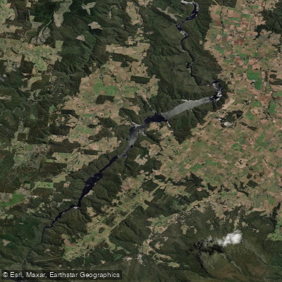
The typical approach is to launch onto Lake Barrington and paddle to where Forth Falls Creek meets the lake on the western shore. Several launch options exist in the area. Driving to Wilmot and then down Lake Barrington Road to the water's edge provides a short paddle of roughly 500 metres south to the falls. Alternatively, paddlers can launch from Kentish Park or from a boat ramp on the eastern side of the lake and paddle across to the western shore where the creek enters. West Kentish is also a convenient launch point with a relatively short paddle to the falls.
The creek and its surrounding reserve pass through lush forest with a variety of ferns, and the falls themselves consist of multiple drops including upper, middle, and lower sections. The lower falls sit close to lake level, while the upper falls and cascade area require more elevation gain to reach. Parking is available along Lake Barrington Road near the trailhead.
Because the paddling component involves crossing or travelling along Lake Barrington rather than navigating the creek itself, conditions on the lake will be the primary factor in trip planning. The falls are accessible from the lake and make for a straightforward out-and-back paddle for those wanting to combine water travel with a short walk into the reserve.
Water access, boat ramps & amenities
Learn how to get on Forth Falls Creek. Uncover great paddling access points, boat ramps, and all the facilities you need for an unforgettable day on the water. Some locations shown may border or include private property. Always check property boundaries and applicable regulations before visiting. PaddleWays's Public & Private Land layer can help you plan your access with confidence.
Paddle smarter with real-time insights
Whether you're en route and conditions shift or you're looking for the best spot based on current flows, we enable you to make informed decisions on the fly.








Find Places to Paddle

Over 400,000 Places to Paddle
Every user gets free access to launch points, boat ramps, and public property parcels.


Water and weather conditions (10 day forecast)
See the best times to paddle Forth Falls Creek and check the forecast before you go.
No forecast data available.
Paddling near Forth Falls Creek
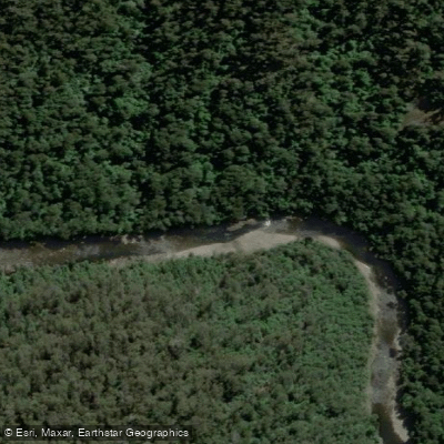
River Leven
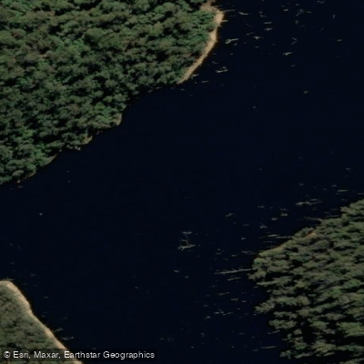
River Forth
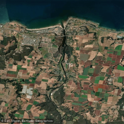
Forth River
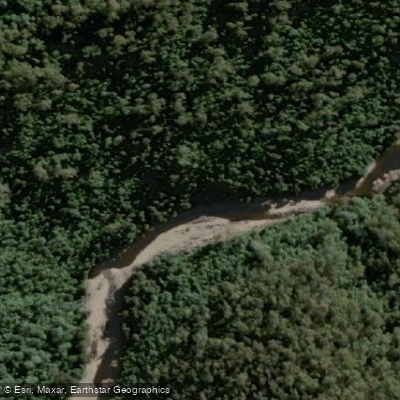
Wilmot River
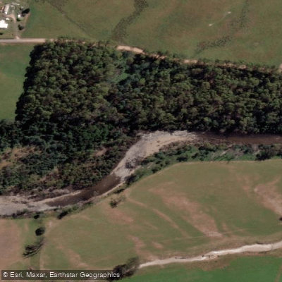
Mersey River
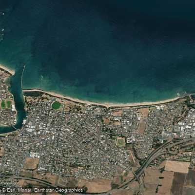
Buttons Beach
Blythe River
Don River
Lake Barrington
Explore Tasmania waters
Top paddling waters
No waters available right now.
Popular Cities
Loading popular cities...
Explore near Forth Falls Creek

Smarter Paddling Starts in the App.
Paddleways gives you everything you need to plan smarter, paddle better, and own every trip from first launch to takeout.