Wilmot River
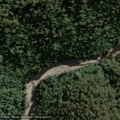
Wilmot River
- Boat Ramps
- 0
- Access Points
- 0
- Campsites
- 2
The Wilmot River is located in northern Tasmania, flowing as a tributary of the Forth River, which meets the coast near Ulverstone. The river runs through a landscape of rocky banks, tall trees, and significant gorge sections, with cliffs forming in places along its course. It is situated near Lake Barrington in the state's north-west.
Among Tasmanian kayakers, the Wilmot River has a reputation as one of the hardest rivers in the state. The water is described as very powerful in character, and multiple sections feature cliffs and gorges that create serious technical challenges. The gorged-out sections in particular present significant hazards, as paddlers who swim can become stranded without their boats due to the confined terrain. Overnight temperatures in the area can drop close to 0 degrees Celsius, making cold-water immersion a genuine risk and underscoring the importance of appropriate preparation.
The river is paddled by members of the Tasmanian Canoe Club, and those who run it are typically very experienced paddlers who have completed the river multiple times. Even highly skilled paddlers have encountered serious difficulties here, including becoming stranded in gorge sections after losing their boats. A life jacket and helmet are essential. Given the remote and committing nature of the gorge sections, paddlers should plan carefully for self-rescue scenarios and ensure companions can raise the alarm if needed.
The surrounding area also has historical significance, with the Dooley Track running along the river — a route originally cut by prospector James Dooley in 1859 following a gold rush in the upper Forth Valley. The track has been restored and maintained by local bushwalkers, and there is a car-accessible picnic area at Ellis Flats along the river corridor. The Alma Bridge area provides road access near the river.
The Wilmot River is not a waterway suited to intermediate paddlers or those unfamiliar with committing whitewater in remote terrain. Its combination of powerful water, gorge sections, and limited escape options makes it a serious undertaking that demands a high level of skill and experience.
Water access, boat ramps & amenities
Learn how to get on Wilmot River. Uncover great paddling access points, boat ramps, and all the facilities you need for an unforgettable day on the water. Some locations shown may border or include private property. Always check property boundaries and applicable regulations before visiting. PaddleWays's Public & Private Land layer can help you plan your access with confidence.
Paddle smarter with real-time insights
Whether you're en route and conditions shift or you're looking for the best spot based on current flows, we enable you to make informed decisions on the fly.








Find Places to Paddle

Over 400,000 Places to Paddle
Every user gets free access to launch points, boat ramps, and public property parcels.


Water and weather conditions (10 day forecast)
See the best times to paddle Wilmot River and check the forecast before you go.
Wilmot River - A/B Forth
All Flow Stations
Paddling near Wilmot River
River Leven
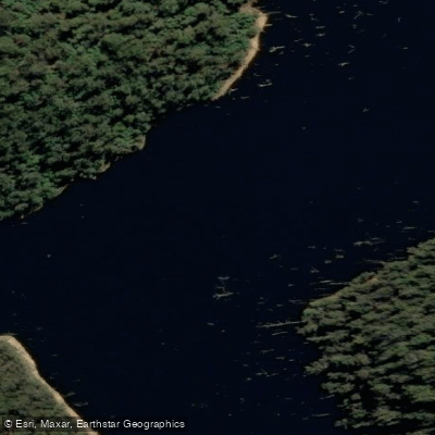
River Forth
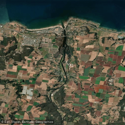
Forth River
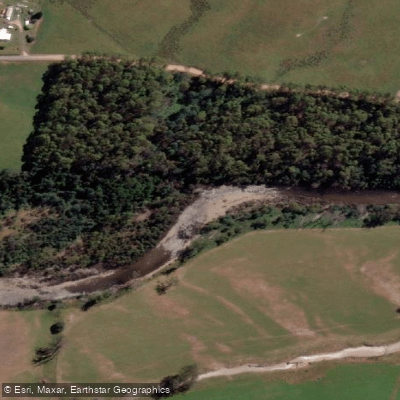
Mersey River
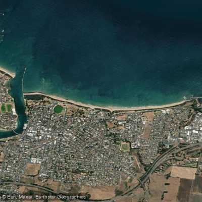
Buttons Beach
Blythe River
Forth Falls Creek
Don River
Lake Barrington
Explore Tasmania waters
Top paddling waters
No waters available right now.
Popular Cities
Loading popular cities...
Explore near Wilmot River

Smarter Paddling Starts in the App.
Paddleways gives you everything you need to plan smarter, paddle better, and own every trip from first launch to takeout.