Mersey River
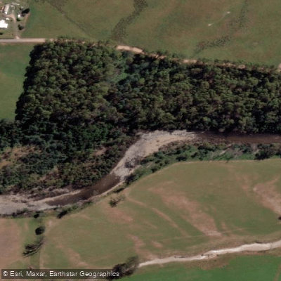
Mersey River
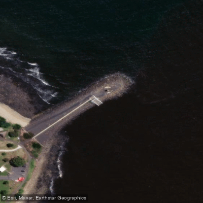
- Boat Ramps
- 3
- Access Points
- 1
- Campsites
- 2
The Mersey River rises on the Central Plateau of Tasmania south of Lake Rowallan and flows north to enter Bass Strait at Devonport, in the state's northwest. The river is fed in part by water releases from the Rowallan Power Station, which influences flow conditions at the whitewater section located within the Mersey White Water Regional Reserve. This site has a history as a former host of the National Slalom Championships and is regarded as a popular destination for both locals and visitors seeking challenging whitewater kayaking and rafting.
The whitewater section is described as offering challenging conditions, making it more suitable for paddlers with developed skills. The Parks and Wildlife Service Tasmania directs paddlers to consult Paddle About Tasmania for information on difficulty gradings and complexities specific to Tasmanian whitewater rivers, and recommends reviewing safety information from Paddle Australia and Marine and Safety Tasmania before launching.
Beyond the whitewater reserve, the river corridor spans a significant length through varied terrain. The Inland Fisheries Service references a 55-kilometre stretch from Lake Parangana to Latrobe, with access points at locations including Mersey Forest Road, Olivers Road, Liena, Union Bridge, Dynans Bridge, Kimberley, Merseylea, the Warrawee Conservation Area, and Latrobe. The river bed through much of this stretch is covered with slippery, round rocks, which presents a wading hazard and is worth noting for paddlers who may need to portage or wade in shallower sections.
Tasmania's rivers have a general reputation for clean, high-quality water, consistent with the island's broader environmental character. The Mersey passes through forested and rural landscapes on its way from the Central Plateau to the coast, offering a range of paddling environments from the upper whitewater reaches to calmer lower sections near Latrobe and Devonport.
The river is managed as a wild trout fishery, and separate whitebait fishing regulations also apply. Paddlers sharing the water with anglers should be aware of this activity, particularly in the more accessible lower sections where fishing pressure may be higher.
Water access, boat ramps & amenities
Learn how to get on Mersey River. Uncover great paddling access points, boat ramps, and all the facilities you need for an unforgettable day on the water. Some locations shown may border or include private property. Always check property boundaries and applicable regulations before visiting. PaddleWays's Public & Private Land layer can help you plan your access with confidence.
Paddle smarter with real-time insights
Whether you're en route and conditions shift or you're looking for the best spot based on current flows, we enable you to make informed decisions on the fly.








Find Places to Paddle

Over 400,000 Places to Paddle
Every user gets free access to launch points, boat ramps, and public property parcels.


Water and weather conditions (10 day forecast)
See the best times to paddle Mersey River and check the forecast before you go.
Mersey River - A/B Arm
All Flow Stations
Paddling near Mersey River
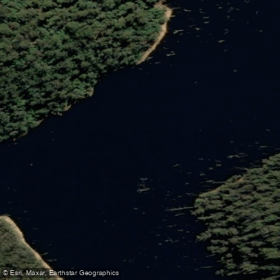
River Forth
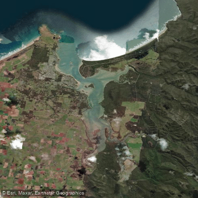
Port Sorell
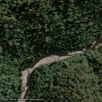
Wilmot River
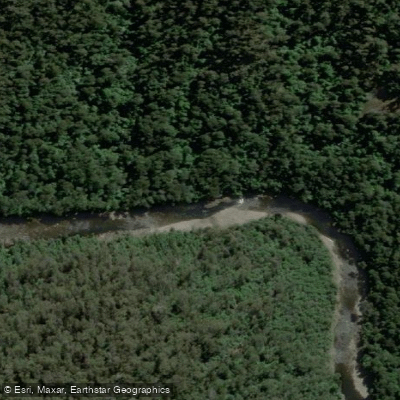
River Leven
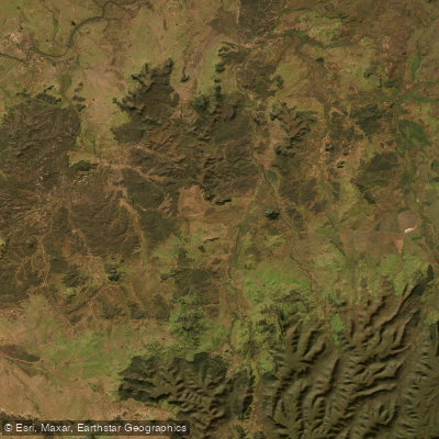
Don River
River Tamar
Lake Barrington
Tamar River
Forth Falls Creek
Explore Tasmania waters
Top paddling waters
No waters available right now.
Popular Cities
Loading popular cities...
Explore near Mersey River

Smarter Paddling Starts in the App.
Paddleways gives you everything you need to plan smarter, paddle better, and own every trip from first launch to takeout.