Curdies River
Curdies River
- Boat Ramps
- 2
- Access Points
- 0
- Campsites
- 0
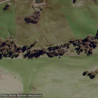
The Curdies River is located in the Otway region of Victoria, flowing through local farmlands for approximately 66 kilometres before reaching the Peterborough coastal reserve. The river system encompasses both freshwater upper reaches and a tidal estuary, offering distinctly different paddling environments depending on where one puts in.
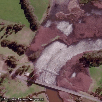
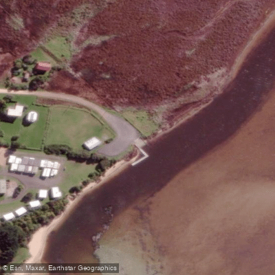
The estuary section is the most commonly paddled area, centred around Peterborough and Curdievale. The Dorey Street boat ramp in Peterborough serves as a key access point, with a floating pontoon adjacent to it. From here, paddlers can head south toward the sea, where waters are described as still and shallow — suitable for beginners and those developing kayak or paddleboard skills. Heading north from the boat ramp opens onto a broader lake-like section of the estuary, where more experienced paddlers, windsurfers, and small motorboats also operate. It is possible to paddle upstream from Peterborough to Curdievale, where the Boggy Creek Road area offers another access point with an asphalted boat ramp, jetties, toilet facilities, barbecue areas, children's playgrounds, and grassed picnic areas. The Boggy Creek section is approximately 30 minutes' drive from Warrnambool.
A notable route involves paddling the Curdies at Boggy Creek for roughly one hour, which has been used as part of organised guided paddling events. The upper reaches of the river hold trout and redfin, while the estuary supports bream, estuary perch, Australian salmon, luderick, and trevally — meaning anglers and paddlers share the water, particularly in the lake section north of the Peterborough boat ramp.
Water quality is a significant consideration. Blue-green algae outbreaks have become more frequent and intense in the estuary, particularly from late summer through to the onset of winter rains. This is attributed largely to agricultural runoff and effluent from dairy farming in the catchment. Paddlers should check for algae alerts before visiting, especially between late February and May. The upper reaches, by contrast, are described as producing fresh, clear water from stony country, though quality degrades further downstream where bush clearing has increased runoff.
The estuary's appearance changes seasonally: in summer, lower water levels expose more beach area, while winter rains raise the waterline. Ecologically, the estuary supports mangrove shrubland, estuarine wetland vegetation, and riparian forest, and is habitat for shorebirds including species of conservation concern.
Water access, boat ramps & amenities
Learn how to get on Curdies River. Uncover great paddling access points, boat ramps, and all the facilities you need for an unforgettable day on the water. Some locations shown may border or include private property. Always check property boundaries and applicable regulations before visiting. PaddleWays's Public & Private Land layer can help you plan your access with confidence.
Paddle smarter with real-time insights
Whether you're en route and conditions shift or you're looking for the best spot based on current flows, we enable you to make informed decisions on the fly.








Find Places to Paddle

Over 400,000 Places to Paddle
Every user gets free access to launch points, boat ramps, and public property parcels.


Water and weather conditions (10 day forecast)
See the best times to paddle Curdies River and check the forecast before you go.
Curdies River @ Curdie
All Flow Stations
Paddling near Curdies River
Merri River
Hopkins River
Shelly Beach
Moyne River

Helen Rock
Salt Creek
Spring Creek
Killarney Beach
Fitzroy River
Explore Victoria waters
Top paddling waters
No waters available right now.
Popular Cities
Loading popular cities...
Explore near Curdies River

Smarter Paddling Starts in the App.
Paddleways gives you everything you need to plan smarter, paddle better, and own every trip from first launch to takeout.