Moyne River
Moyne River
- Boat Ramps
- 2
- Access Points
- 0
- Campsites
- 0
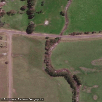
The Moyne River flows through the historic township of Port Fairy in Victoria's southwest, emptying into the Southern Ocean. The estuary is managed to keep its mouth permanently open to accommodate the Port of Port Fairy's commercial fishing fleet, giving the lower river a working harbour character. North of town, the river widens dramatically into Belfast Lough, a vast but shallow open waterbody that forms the heart of the estuary system. Murray Brook and Reedy Creek also feed into this estuarine complex.
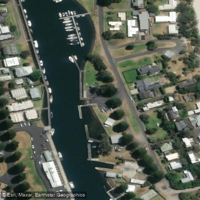
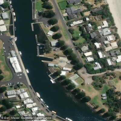
A practical put-in is the boat ramp on Griffiths Street, Port Fairy, on the east side of the Moyne River, located within the township itself. A recommended route is a return trip heading upstream on the incoming tide and returning downstream on the outgoing tide — timing the paddle to tidal movement makes for easier travel in both directions. From the launch point, paddlers head northeast up the river, cross Belfast Lough, then turn north up the Moyne River proper. A useful navigation landmark for locating the river entrance on the far side of the Lough is the airport windsock, which sits roughly opposite. The practical upstream limit is an impassable outcrop of basalt rock and cumbungi approximately 200 metres downstream of the Princes Highway.
Paddlers should be aware of two notable hazards: the river through the Port Fairy township contains outcropping rock in the riverbed requiring caution, and Belfast Lough is quite shallow, making a flat-bottomed canoe a suitable vessel for that section. The gauge height at Toolong provides a useful reference for river conditions.
The surrounding landscape consists largely of saltmarsh and farming land. The estuarine saltmarshes are significant habitat for migratory bird species, including the endangered Orange-bellied parrot. Wildlife encounters are a genuine feature of the paddle — black swans with cygnets have been observed along the route, and koalas are present in the area. The estuary also supports a valued recreational fishery with species including black bream, estuary perch, mulloway, whiting, sea mullet, barracouta, snapper, and Australian salmon, so expect some boat traffic in the lower harbour area.
Water access, boat ramps & amenities
Learn how to get on Moyne River. Uncover great paddling access points, boat ramps, and all the facilities you need for an unforgettable day on the water. Some locations shown may border or include private property. Always check property boundaries and applicable regulations before visiting. PaddleWays's Public & Private Land layer can help you plan your access with confidence.
Paddle smarter with real-time insights
Whether you're en route and conditions shift or you're looking for the best spot based on current flows, we enable you to make informed decisions on the fly.








Find Places to Paddle

Over 400,000 Places to Paddle
Every user gets free access to launch points, boat ramps, and public property parcels.


Water and weather conditions (10 day forecast)
See the best times to paddle Moyne River and check the forecast before you go.
Moyne River @ Toolong
All Flow Stations
Paddling near Moyne River
Merri River
Hopkins River
Shelly Beach
Curdies River
Helen Rock
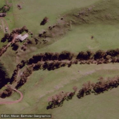
Salt Creek
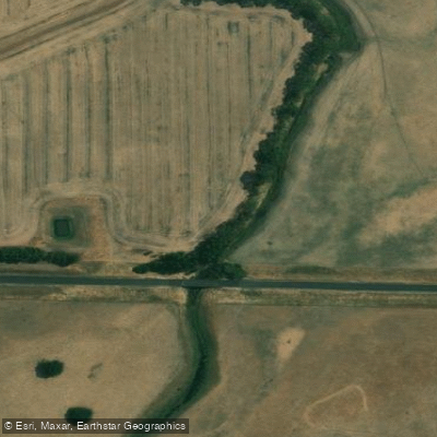
Spring Creek
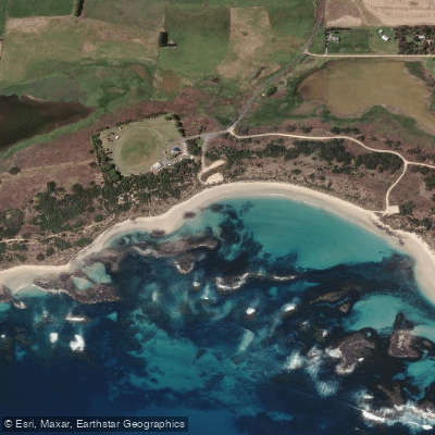
Killarney Beach
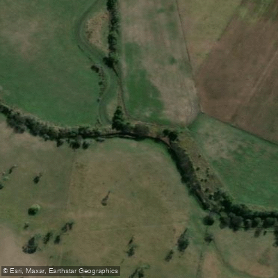
Fitzroy River
Explore Victoria waters
Top paddling waters
No waters available right now.
Popular Cities
Loading popular cities...
Explore near Moyne River

Smarter Paddling Starts in the App.
Paddleways gives you everything you need to plan smarter, paddle better, and own every trip from first launch to takeout.