Helen Rock
- Saltwater
- Reef
Helen Rock
- Saltwater
- Reef
- Sq. miles
- 0
- Boat Ramps
- 0
- Access Points
- 0
- Campsites
- 0
Helen Rock is a reef located in the coastal waters off Warrnambool, Victoria, along the Great Ocean Road. It is situated approximately one kilometer offshore from the mainland. The reef reaches a depth of around 20 meters, indicating a significant underwater structure. Access to Helen Rock is exclusively by boat, as no shore access points exist. For paddlers, this means any trip requires a launch from a nearby coastal access point, such as Warrnambool's breakwater or Stingray Bay, followed by a substantial open-water crossing. The marine environment is known for its rich underwater life, including crayfish, stingrays, moray eels, and various fish species, which can be observed by paddlers looking into the clear water. The area is part of a region frequented for diving and is noted for providing excellent underwater photography opportunities due to its marine life and reef structure.
The paddling conditions are heavily influenced by ocean weather. The sea terrain in this vicinity is rough, and the site is best appreciated during excellent weather conditions. It is considered suitable for intermediate to advanced water users due to these potential hazards. Paddlers must be prepared for exposure to wind, swell, and currents common in the Bass Strait, and the one-kilometer crossing to the reef presents a significant commitment away from sheltered waters. The presence of other boat traffic accessing the dive site is likely. There are no specific facilities or amenities at the reef itself. The overall character is that of an exposed offshore marine feature offering a view of a dynamic coastal environment, suitable only for experienced paddlers with appropriate skills, equipment, and a careful assessment of the marine forecast.
Water access, boat ramps & amenities
Learn how to get on Helen Rock. Uncover great paddling access points, boat ramps, and all the facilities you need for an unforgettable day on the water. Some locations shown may border or include private property. Always check property boundaries and applicable regulations before visiting. PaddleWays's Public & Private Land layer can help you plan your access with confidence.
Paddle smarter with real-time insights
Whether you're en route and conditions shift or you're looking for the best spot based on current flows, we enable you to make informed decisions on the fly.








Find Places to Paddle

Over 400,000 Places to Paddle
Every user gets free access to launch points, boat ramps, and public property parcels.


Tides, wind & water conditions (10 day forecast)
On open water, wind and tide matter as much as the weather. See the best times to paddle Helen Rock and check the marine forecast before you launch.
Loading tide predictions…
Paddling near Helen Rock
Merri River
Hopkins River
Shelly Beach
Curdies River
Moyne River
Salt Creek
Spring Creek
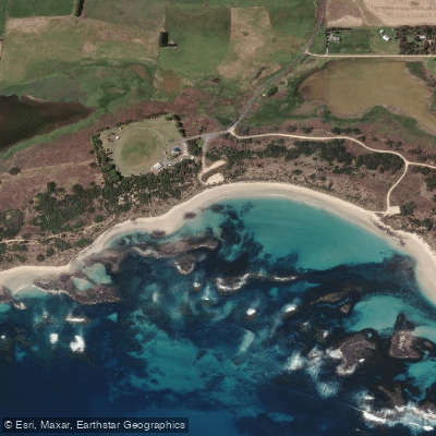
Killarney Beach
Fitzroy River
Explore Victoria waters
Top paddling waters
No waters available right now.
Popular Cities
Loading popular cities...
Explore near Helen Rock

Smarter Paddling Starts in the App.
Paddleways gives you everything you need to plan smarter, paddle better, and own every trip from first launch to takeout.