Fortescue River
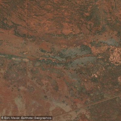
Fortescue River
- Boat Ramps
- 0
- Access Points
- 0
- Campsites
- 0
The Fortescue River flows through Millstream Chichester National Park in the north Pilbara region of Western Australia, roughly a two-hour drive southeast of Karratha. The river supports two distinct paddling environments: an inland section within the national park, and a tidal lower reach extending to the river mouth on the coast.
Within the national park, Crossings Pool is a noted access point for canoeing, with associated camping, picnicking, and hiking facilities on site. Deep Reach Pool is another significant location along the river, though paddlers should be aware that it holds deep cultural and spiritual importance for the local Yindjibarndi people and neighbouring Indigenous communities, and should be treated with appropriate respect.
At the river mouth, a government-listed boat ramp provides access to the lower tidal section. This ramp is described as a rough, fairly steep gravel bush ramp, and the tidal range at the mouth is approximately five metres, which creates variable and potentially challenging launch and retrieval conditions. Four-wheel drive capability is advisable for accessing this ramp.
The surrounding landscape supports over 500 plant species, 120 bird species, 30 mammal species, and 150 reptile species, making the river corridor of considerable interest to wildlife-oriented paddlers. The mid-winter period between June and August brings a notable wildflower display along the riverbanks.
Paddlers planning trips to the inland section should check for road and park closures in advance, as access conditions in the Pilbara can change. The river sits within a desert environment, and the national park section represents a distinct riparian oasis within that broader arid landscape.
Water access, boat ramps & amenities
Learn how to get on Fortescue River. Uncover great paddling access points, boat ramps, and all the facilities you need for an unforgettable day on the water. Some locations shown may border or include private property. Always check property boundaries and applicable regulations before visiting. PaddleWays's Public & Private Land layer can help you plan your access with confidence.
Paddle smarter with real-time insights
Whether you're en route and conditions shift or you're looking for the best spot based on current flows, we enable you to make informed decisions on the fly.







Western Australia licenses and regulations

Find Places to Paddle

Over 400,000 Places to Paddle
Every user gets free access to launch points, boat ramps, and public property parcels.


Water and weather conditions (10 day forecast)
See the best times to paddle Fortescue River and check the forecast before you go.
Fortescue River - Gregory Gorge
All Flow Stations
Paddling near Fortescue River
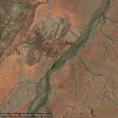
Devil Creek
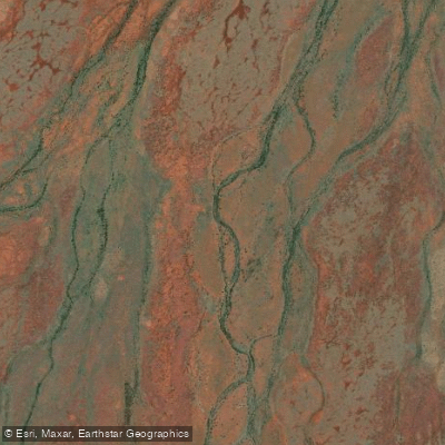
George River
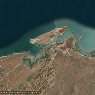
Port Robinson
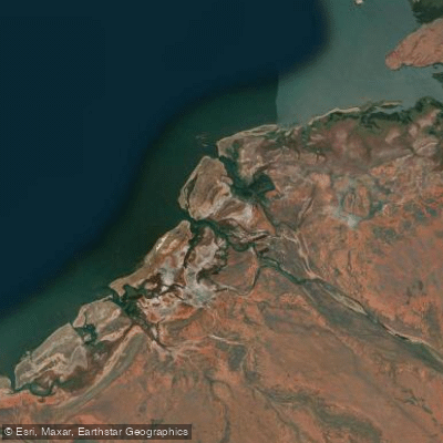
Maitland River
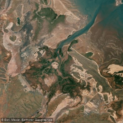
Harding River
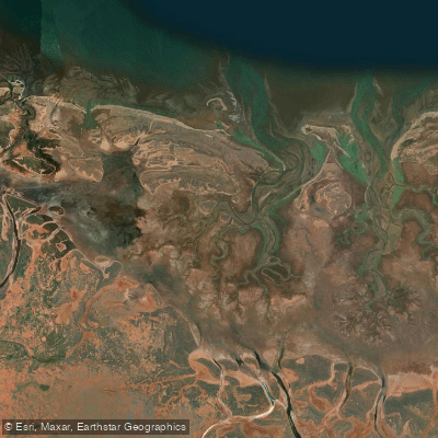
Jones River
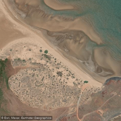
Settlers Beach
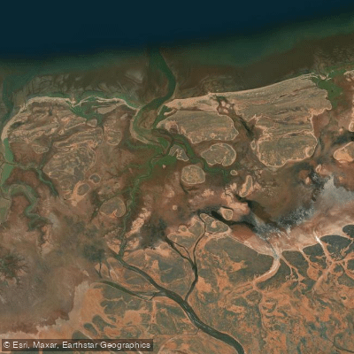
Little Sherlock River
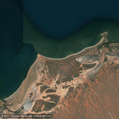
40 Mile Beach
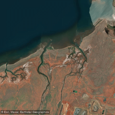
Fortescue River
Explore Western Australia waters
Top paddling waters
No waters available right now.
Popular Cities
Loading popular cities...
Explore near Fortescue River

Smarter Paddling Starts in the App.
Paddleways gives you everything you need to plan smarter, paddle better, and own every trip from first launch to takeout.