Greenough River
Greenough River
- Boat Ramps
- 0
- Access Points
- 0
- Campsites
- 1
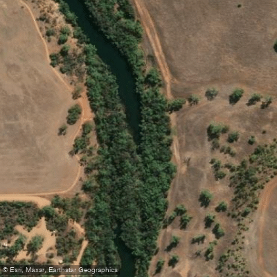
The Greenough River is located in the Mid West region of Western Australia, approximately 10 kilometres south of Geraldton and around 393 kilometres north of Perth (roughly a four-hour drive). The river meets the Indian Ocean at Cape Burney, where its mouth is frequently blocked by a sandbar. The river originates well inland but for much of its length runs dry for extended periods, with a navigable stretch of water concentrated near the coast. The river mouth area is accessible by 2WD vehicle, with a carpark at the Cape Burney trailhead serving as the primary access point.
Canoeing is a recognised activity on the river, particularly around Devlin Pool, which can be reached via a 45-minute walk from the river mouth carpark. The pool offers a calm, sheltered stretch of water suitable for paddling. The river meanders through a mix of wheatfarms, remnant bushland, coastal vegetation, and dunes before reaching the estuary.
A significant practical consideration for paddlers is that the river mouth is typically closed off by a sandbar and only opens following substantial rainfall inland, generally associated with cyclonic weather events. Fishing closures have also been imposed on the river at various times due to safety concerns, so it is worth checking current regulations before visiting. The wind can be a notable factor in the area.
The best time to visit is generally May through November, avoiding the summer months when temperatures can reach 40 degrees Celsius or higher, making outdoor activity uncomfortable and potentially hazardous. Spring is particularly recommended, with wildflowers adding to the landscape.
Wildlife along the river is diverse. Pelicans, egrets, ducks, and cormorants are commonly seen feeding in the river and estuary. Wrens and honeyeaters inhabit the dune and riverbank areas. The varied habitats make the river corridor a productive area for birdwatching, which can complement time on the water.
The historic town of Greenough, regarded as one of Australia's best-preserved early settlements, lies along the river and adds cultural interest to any visit to the area.
Water access, boat ramps & amenities
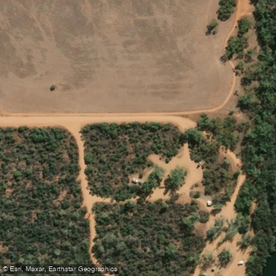
Learn how to get on Greenough River. Uncover great paddling access points, boat ramps, and all the facilities you need for an unforgettable day on the water. Some locations shown may border or include private property. Always check property boundaries and applicable regulations before visiting. PaddleWays's Public & Private Land layer can help you plan your access with confidence.
Paddle smarter with real-time insights
Whether you're en route and conditions shift or you're looking for the best spot based on current flows, we enable you to make informed decisions on the fly.







Western Australia licenses and regulations

Find Places to Paddle

Over 400,000 Places to Paddle
Every user gets free access to launch points, boat ramps, and public property parcels.


Water and weather conditions (10 day forecast)
See the best times to paddle Greenough River and check the forecast before you go.
Greenough River - Karlanew Peak
All Flow Stations
Paddling near Greenough River
Irwin River
Chapman River
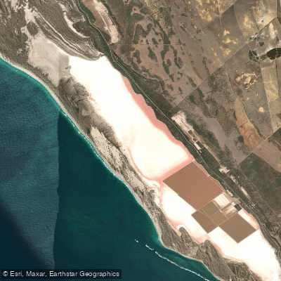
Hutt Lagoon
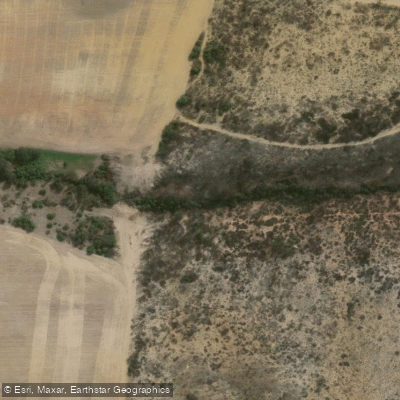
Salt Creek
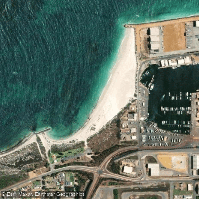
Pages Beach
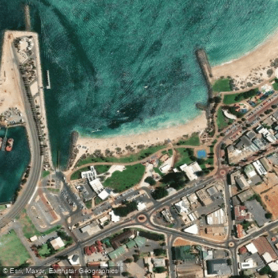
Town Beach
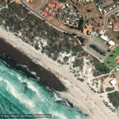
Back Beach
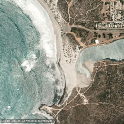
Double Beach
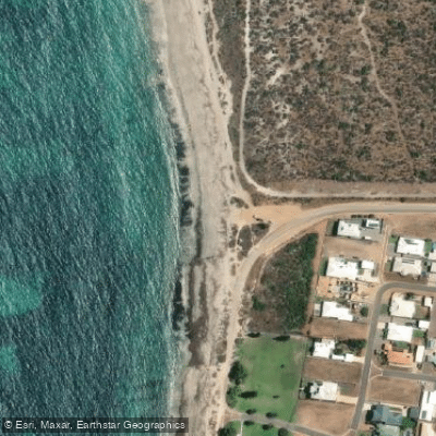
Drummond Cove Beach
Explore Western Australia waters
Top paddling waters
No waters available right now.
Popular Cities
Loading popular cities...
Explore near Greenough River
Access points
Nearby waters
More in Western Australia

Smarter Paddling Starts in the App.
Paddleways gives you everything you need to plan smarter, paddle better, and own every trip from first launch to takeout.