Chapman River
- Saltwater
- Estuary

Chapman River
- Saltwater
- Estuary
- Sq. miles
- 0.3
- Boat Ramps
- 0
- Access Points
- 0
- Campsites
- 0
The Chapman River on Kangaroo Island is a tidal estuary flowing through Lashmar Conservation Park and emptying into the sea at Antechamber Bay. The primary access point for paddlers is the Chapman River Campground, which is a great spot for launching a kayak directly into the river. This campground also provides basic facilities such as barbecue and picnic spots. The river meets the sea at Antechamber Bay, a long sandy beach, which suggests a potential surf zone and open ocean conditions at the river mouth; paddlers should be prepared for this transition from protected estuary to exposed coast. The overall character is tranquil and scenic, suitable for canoeing and camping trips along its course. The water is safe for swimming, canoeing, and boating, indicating generally good water quality for recreational use. The surrounding area within Lashmar Conservation Park offers opportunities to observe abundant birdlife, marine life, and other wildlife from the water. The eastern end of Kangaroo Island, where the river is located, is considered a spot to escape crowds, contributing to a secluded paddling experience. The tidal nature of the estuary means paddlers must plan for tidal currents and potential wind exposure, especially near the open bay.
Water access, boat ramps & amenities
Learn how to get on Chapman River. Uncover great paddling access points, boat ramps, and all the facilities you need for an unforgettable day on the water. Some locations shown may border or include private property. Always check property boundaries and applicable regulations before visiting. PaddleWays's Public & Private Land layer can help you plan your access with confidence.
Paddle smarter with real-time insights
Whether you're en route and conditions shift or you're looking for the best spot based on current flows, we enable you to make informed decisions on the fly.







South Australia licenses and regulations

Find Places to Paddle

Over 400,000 Places to Paddle
Every user gets free access to launch points, boat ramps, and public property parcels.


Tides, wind & water conditions (10 day forecast)
On open water, wind and tide matter as much as the weather. See the best times to paddle Chapman River and check the marine forecast before you launch.
Loading tide predictions…
Paddling near Chapman River
Port River
Onkaparinga River
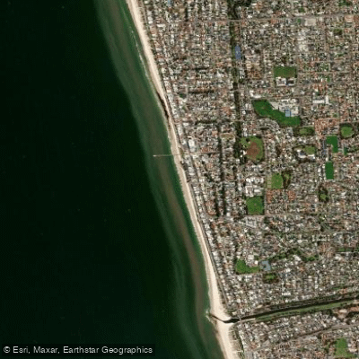
Henley Beach

River Torrens
Karrawirra Parri (River Torrens)
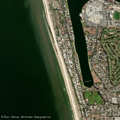
Tennyson Beach

Murray River
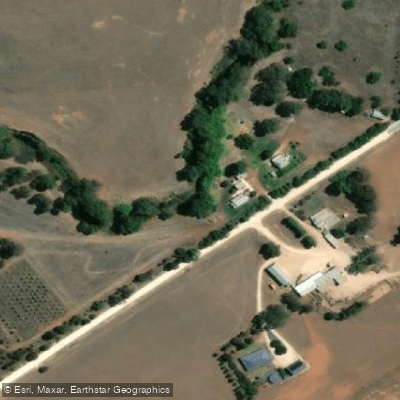
Bremer River
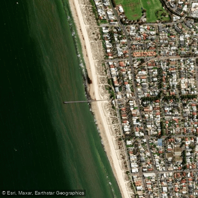
Grange Beach
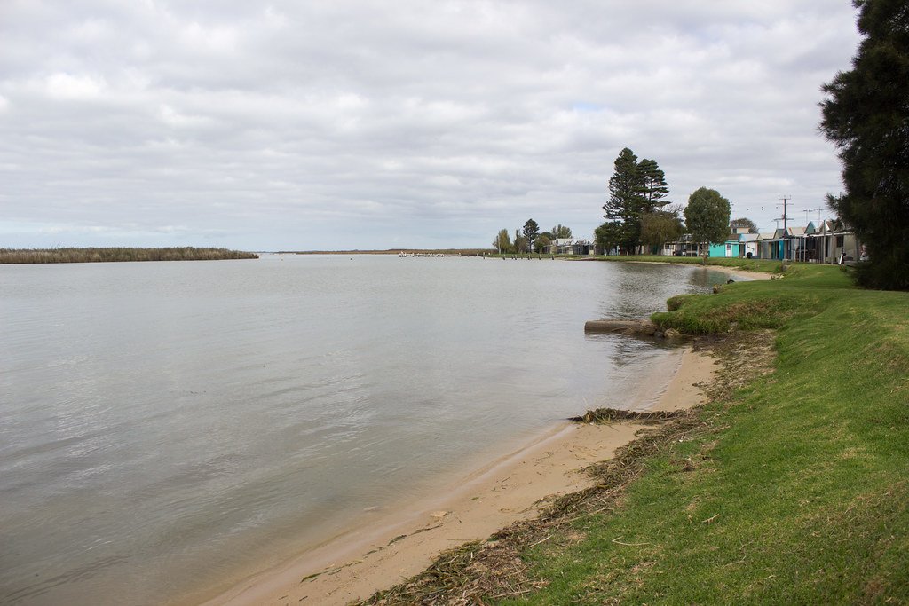
Lake Alexandrina
Explore South Australia waters
Top paddling waters
No waters available right now.
Popular Cities
Loading popular cities...
Explore near Chapman River

Smarter Paddling Starts in the App.
Paddleways gives you everything you need to plan smarter, paddle better, and own every trip from first launch to takeout.