Rio Negro
Rio Negro
- Boat Ramps
- 0
- Access Points
- 0
- Campsites
- 0
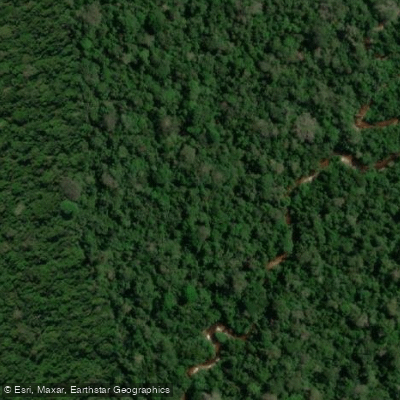
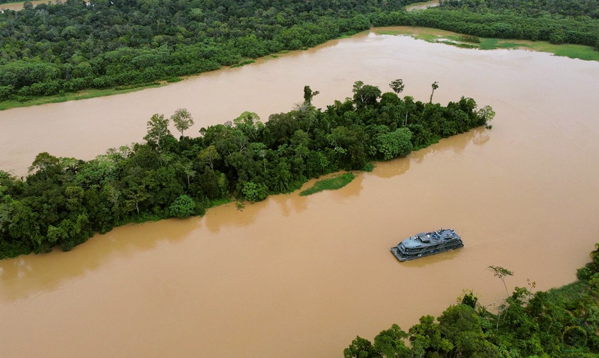
The Rio Negro is a major tributary of the Amazon River, flowing through the state of Amazonas in Brazil. It is a massive, blackwater river, named for its dark, tea-colored appearance, which is a result of decaying organic matter. The river is navigable for approximately 450 miles (725 kilometers) upstream from its confluence with the Amazon at Manaus, serving as a primary transportation artery through the sparsely populated rainforest. For paddlers, the Rio Negro offers a profound wilderness experience, characterized by remote, off-grid adventure through the heart of the Amazon basin. A notable long-distance route begins in the Cucui area near the border with Venezuela, running approximately 1400 kilometers down to the Amazon River. Day trips and guided excursions, including canoeing, kayaking, and paddleboarding, are commonly launched from the Manaus area, providing access to the surrounding flooded forests and channels. The overall character of paddling here is physically challenging and designed for experienced travelers, with activities often including dawn paddles, fishing, and jungle walks. Wildlife is abundant, and paddlers should be aware of hazards such as piranhas. The region is subject to significant seasonal fluctuations, including historic droughts that can severely impact water levels and navigability, as evidenced by emergency dredging operations conducted on nearby rivers. The river's scale and the remote nature of the journey necessitate thorough planning and local guidance.
Water access, boat ramps & amenities
Learn how to get on Rio Negro. Uncover great paddling access points, boat ramps, and all the facilities you need for an unforgettable day on the water. Some locations shown may border or include private property. Always check property boundaries and applicable regulations before visiting. PaddleWays's Public & Private Land layer can help you plan your access with confidence.
Paddle smarter with real-time insights
Whether you're en route and conditions shift or you're looking for the best spot based on current flows, we enable you to make informed decisions on the fly.







Acre licenses and regulations
No licenses or regulations available for Acre.
Find Places to Paddle

Over 400,000 Places to Paddle
Every user gets free access to launch points, boat ramps, and public property parcels.


Water and weather conditions (10 day forecast)
See the best times to paddle Rio Negro and check the forecast before you go.
No forecast data available.
Explore Acre waters
Top paddling waters
No waters available right now.
Popular Cities
Loading popular cities...
Explore near Rio Negro
More in Acre

Smarter Paddling Starts in the App.
Paddleways gives you everything you need to plan smarter, paddle better, and own every trip from first launch to takeout.