Rio Negro
Rio Negro
- Boat Ramps
- 0
- Access Points
- 1
- Campsites
- 2
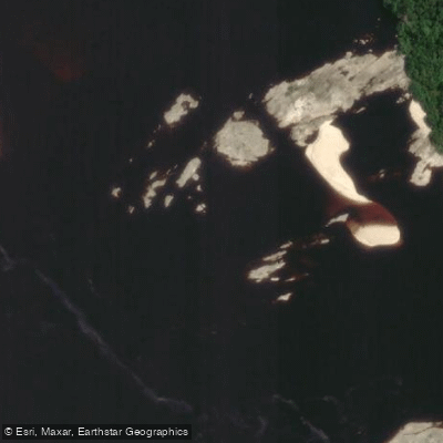
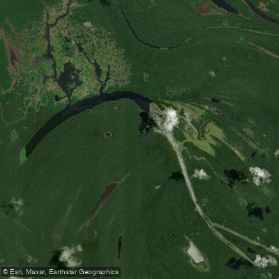
The Rio Negro is one of the world's largest blackwater rivers and the primary tributary of the Amazon, stretching approximately 1,400 miles (2,250 km) in total length, with roughly 850 miles (1,370 km) running through Brazil. It originates from headstreams including the Vaupés and Guainía rivers in eastern Colombia, enters Brazil near the Venezuelan border, and flows generally east-southeastward to Manaus, where it joins the Rio Solimões to form the Amazon River. The river's water is notably dark — nearly black in appearance — a characteristic that distinguishes it visually from the lighter-colored Rio Solimões at their confluence near Manaus.
The upper reaches near Cucui, on the Brazil-Venezuela border, are the starting point for long-distance expeditions heading downstream toward Manaus, a distance of roughly 1,400 km when continuing onward to the Amazon. This upper section contains significant rapids that demand serious whitewater skills and have tested even well-prepared expedition paddlers. The river's remote character means detailed commercial maps are largely unavailable, making navigation challenging and requiring solid orientation skills.
Wildlife along the river includes caimans, piranhas, and pink river dolphins, as well as a wide variety of tropical birds. Flooded forests, narrow channels called igarapés, riverside communities, and white sand beaches are recurring features along the banks. Indigenous communities are present along the river and can be visited as part of organized tours operating out of Manaus.
The Meeting of the Waters near Manaus, where the dark Rio Negro meets the lighter Rio Solimões, is a well-known landmark. The two rivers flow side by side for approximately 4 miles (6 km) without mixing, due to differences in temperature, speed, and density. Organized paddling and canoe tours operate in the Manaus area, including trips through igarapés and to Lake Acajatuba.
Safety considerations are significant. The upper river involves violent rapids, and the remoteness of the region means that encounters with fluvial police checkpoints are possible. The river's scale and isolation demand thorough preparation, self-sufficiency, and conservative planning for any multi-day expedition.
Water access, boat ramps & amenities
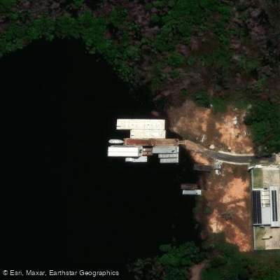
Learn how to get on Rio Negro. Uncover great paddling access points, boat ramps, and all the facilities you need for an unforgettable day on the water. Some locations shown may border or include private property. Always check property boundaries and applicable regulations before visiting. PaddleWays's Public & Private Land layer can help you plan your access with confidence.
Paddle smarter with real-time insights
Whether you're en route and conditions shift or you're looking for the best spot based on current flows, we enable you to make informed decisions on the fly.







Amazonas licenses and regulations
No licenses or regulations available for Amazonas.
Find Places to Paddle

Over 400,000 Places to Paddle
Every user gets free access to launch points, boat ramps, and public property parcels.


Water and weather conditions (10 day forecast)
See the best times to paddle Rio Negro and check the forecast before you go.
Santa Isabel Do Rio Negro
All Flow Stations
Explore Amazonas waters
Top paddling waters
No waters available right now.
Popular Cities
Loading popular cities...
Explore near Rio Negro
Access points
Nearby waters
More in Amazonas

Smarter Paddling Starts in the App.
Paddleways gives you everything you need to plan smarter, paddle better, and own every trip from first launch to takeout.