Rio Uatumã
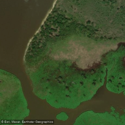
Rio Uatumã
- Boat Ramps
- 0
- Access Points
- 1
- Campsites
- 0
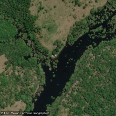
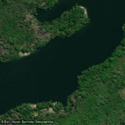
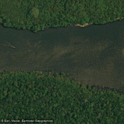
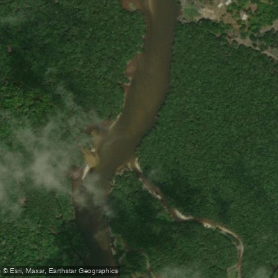
The Rio Uatumã is a blackwater river approximately 660 kilometers long, flowing through the state of Amazonas in Brazil before joining the Amazon River as a northern tributary at approximately 2°24′55″S, 57°34′38″W. Its dark, tannin-stained waters are characteristic of Amazonian blackwater systems, and the river passes through the Uatuma-Trombetas moist forests ecoregion, a landscape of dense rainforest with abundant wildlife including monkeys and other fauna typical of the Amazon basin.
Water levels on the Uatumã fluctuate dramatically with the seasons. The wet season begins in December, and during this period water levels can rise between 25 and 40 feet, fundamentally altering the character of the river and the surrounding flooded forest. This extreme seasonal variation is a critical planning consideration for any paddling trip. The Balbina Dam, a hydroelectric facility constructed on the river in the mid-to-late 1980s, has significantly altered the river's hydrology. The dam flooded approximately 2,360 square kilometers of rainforest and created an extensive reservoir system. The average discharge of the river is approximately 2,200 cubic meters per second.
The Balbina reservoir area is a productive fishing destination, particularly for peacock bass, and the broader river system contains numerous small streams and lagoons accessible from the main channel. The town of Uatumã sits along the river and serves as a point of access and resupply. Boat-building workshops are also located along the river in this area.
Kayaking in the backwater areas of the river system is possible, with paddlers reporting calm conditions and wildlife sightings in the flooded forest margins. Given the scale of seasonal flooding and the presence of the Balbina reservoir, paddlers should be prepared for a remote, expedition-style environment with limited infrastructure. The river's remoteness and the size of the flooded reservoir zone mean that self-sufficiency and careful route planning are essential for any paddling venture on this system.
Water access, boat ramps & amenities
Learn how to get on Rio Uatumã. Uncover great paddling access points, boat ramps, and all the facilities you need for an unforgettable day on the water. Some locations shown may border or include private property. Always check property boundaries and applicable regulations before visiting. PaddleWays's Public & Private Land layer can help you plan your access with confidence.
Paddle smarter with real-time insights
Whether you're en route and conditions shift or you're looking for the best spot based on current flows, we enable you to make informed decisions on the fly.







Amazonas licenses and regulations
No licenses or regulations available for Amazonas.
Find Places to Paddle

Over 400,000 Places to Paddle
Every user gets free access to launch points, boat ramps, and public property parcels.


Water and weather conditions (10 day forecast)
See the best times to paddle Rio Uatumã and check the forecast before you go.
Uhe Balbina Montante
All Flow Stations
Explore Amazonas waters
Top paddling waters
No waters available right now.
Popular Cities
Loading popular cities...
Explore near Rio Uatumã
Access points
More in Amazonas

Smarter Paddling Starts in the App.
Paddleways gives you everything you need to plan smarter, paddle better, and own every trip from first launch to takeout.