Rio Urubu
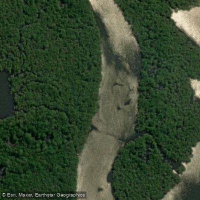
Rio Urubu
- Boat Ramps
- 0
- Access Points
- 0
- Campsites
- 0
The Rio Urubu is a tributary of the Amazon River located approximately 130–200 kilometers northeast of Manaus in the state of Amazonas, Brazil. The river runs roughly 500 kilometers (about 310 miles) in length and is notably narrow, characteristics that make it well-suited to kayak travel through dense rainforest. The river originates near Presidente Figueiredo and flows downstream to its confluence with the Amazon. The water is dark, stained black by tannins and other organic materials — a common feature of Amazonian blackwater rivers. This acidity also means the area has relatively few mosquitoes compared to other parts of the Amazon basin.
The current is generally gentle, allowing paddlers to travel downstream with the flow. Some sections include mild rapids. Multi-day guided kayak expeditions of two to six days are the primary format for paddling this river, with the most common access point reached by a roughly two-hour road transfer from Manaus. The downstream terminus is near Ramal do Banco in the municipality of Rio Preto da Eva, representing a journey of approximately 190 kilometers (120 miles) of paddling over the course of a multi-day trip.
Notable features along the river include the Lua Branca and Iracema waterfalls, the latter being one of the largest in the area. One campsite is situated on a cliff wall approximately 25 meters high, with orchids growing on the rock face. The river corridor passes through largely uninhabited rainforest, and wildlife commonly seen along the route includes blue and yellow macaws, caimans, giant river otters, monkeys, ocelots, tapirs, and various nocturnal species. Piranha fishing is a common activity at campsites.
Overnight camping is done in hammocks with mosquito nets, typically in jungle camps set up by guides. Paddlers sleep in the forest rather than in fixed lodges, though at least one riverside community visit is included in some itineraries. The water temperature is approximately 24°C (75°F). The trip is physically demanding, with daily paddling sessions of several hours, and some prior kayaking experience is recommended for longer expeditions. Group sizes are typically small, with a minimum of two and a maximum of six participants.
Water access, boat ramps & amenities
Learn how to get on Rio Urubu. Uncover great paddling access points, boat ramps, and all the facilities you need for an unforgettable day on the water. Some locations shown may border or include private property. Always check property boundaries and applicable regulations before visiting. PaddleWays's Public & Private Land layer can help you plan your access with confidence.
Paddle smarter with real-time insights
Whether you're en route and conditions shift or you're looking for the best spot based on current flows, we enable you to make informed decisions on the fly.







Amazonas licenses and regulations
No licenses or regulations available for Amazonas.
Find Places to Paddle

Over 400,000 Places to Paddle
Every user gets free access to launch points, boat ramps, and public property parcels.


Water and weather conditions (10 day forecast)
See the best times to paddle Rio Urubu and check the forecast before you go.
Itapiranga
All Flow Stations
Paddling near Rio Urubu
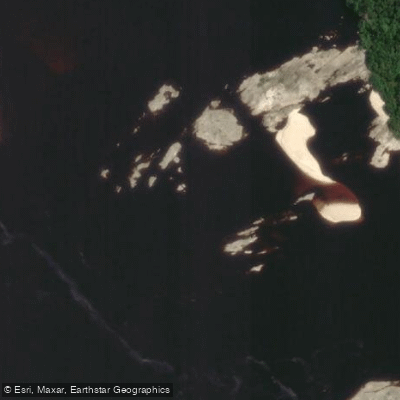
Rio Negro
Rio Solimões
Igarapé Tarumã-Açu
Rio Puraquequara
Igarapé Santo Antônio
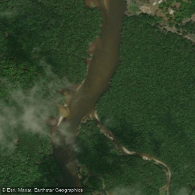
Rio Preto da Eva

Igarapé Água Branca
Igarapé Grande
Rio Juma
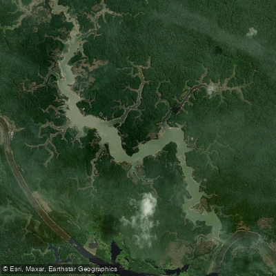
Lago Do Maçarico
Explore Amazonas waters
Top paddling waters
No waters available right now.
Popular Cities
Loading popular cities...
Explore near Rio Urubu

Smarter Paddling Starts in the App.
Paddleways gives you everything you need to plan smarter, paddle better, and own every trip from first launch to takeout.