Açude Aires De Souza
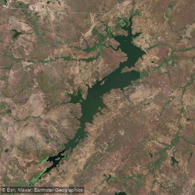
Açude Aires De Souza
- Boat Ramps
- 0
- Access Points
- 0
- Campsites
- 0
Açude Aires de Souza, also widely known as Açude Jaibaras, is a reservoir in the northern part of the state of Ceará, constructed on the course of the Rio Jaibaras. It spans the municipalities of Sobral and Cariré, with coordinates placing it at approximately 3°47'S, 40°31'W. Built and completed in 1936 by DNOCS (the federal agency responsible for water infrastructure in the Brazilian Northeast), the reservoir has a total storage capacity of 104.43 million cubic meters, making it a substantial body of water for the region.
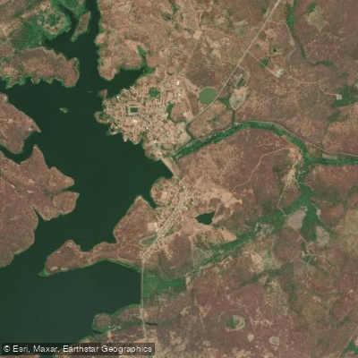
The reservoir is situated near the district of Jaibaras, which falls within the municipality of Sobral. When water levels are high and the reservoir reaches or approaches its maximum capacity, the area draws increased numbers of visitors, suggesting that access to the waterfront is feasible at high water. A deactivated small hydroelectric plant exists at the site, which paddlers should be aware of as a structural feature in the vicinity of the dam.
Water levels in this semi-arid region are subject to significant seasonal variation tied to the Northeast Brazilian rainy season, which typically runs from roughly January through May. During drier periods, the reservoir can drop considerably below its maximum capacity, which would affect the extent of navigable water and access conditions. Planning a visit during or shortly after the rainy season offers the best chance of encountering fuller water levels.
The reservoir supports fish farming (piscicultura), indicating the presence of aquatic life and some level of ongoing water use management by local stakeholders.
Water access, boat ramps & amenities
Learn how to get on Açude Aires De Souza. Uncover great paddling access points, boat ramps, and all the facilities you need for an unforgettable day on the water. Some locations shown may border or include private property. Always check property boundaries and applicable regulations before visiting. PaddleWays's Public & Private Land layer can help you plan your access with confidence.
Paddle smarter with real-time insights
Whether you're en route and conditions shift or you're looking for the best spot based on current flows, we enable you to make informed decisions on the fly.







Ceará licenses and regulations
No licenses or regulations available for Ceará.
Find Places to Paddle

Over 400,000 Places to Paddle
Every user gets free access to launch points, boat ramps, and public property parcels.


Water and weather conditions (10 day forecast)
See the best times to paddle Açude Aires De Souza and check the forecast before you go.
Açude Aires De Souza
All Flow Stations
Paddling near Açude Aires De Souza
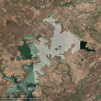
Açude Taquara
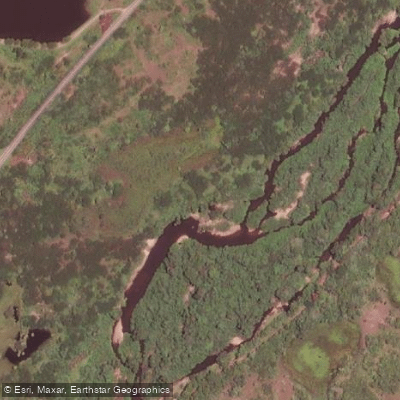
Rio Aracatiaçu
Rio do Pajé
Açude Acaraú-Mirim
Açude Forquilha
Açude Araras
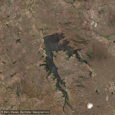
Açude Edson Queiroz
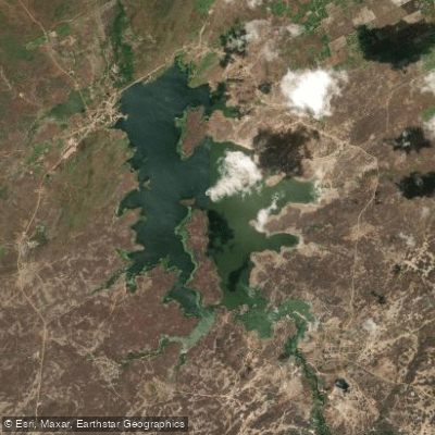
Açude Tucunduba
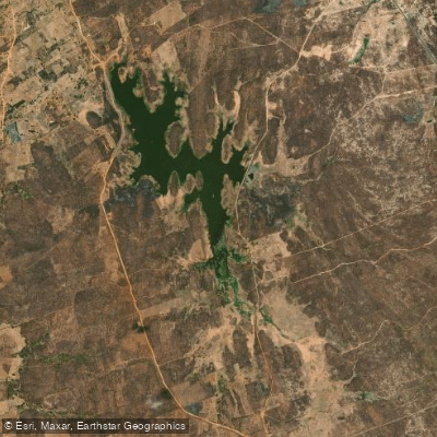
Açude Arrebita
Explore Ceará waters
Top paddling waters
No waters available right now.
Popular Cities
Loading popular cities...
Explore near Açude Aires De Souza

Smarter Paddling Starts in the App.
Paddleways gives you everything you need to plan smarter, paddle better, and own every trip from first launch to takeout.