Açude Gavião
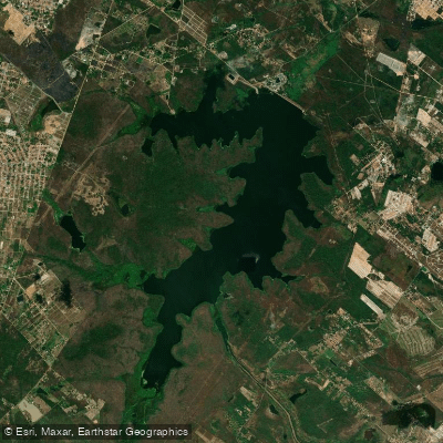
Açude Gavião
- Boat Ramps
- 0
- Access Points
- 0
- Campsites
- 0
Açude Gavião is a reservoir located in Pacatuba, within the metropolitan region of Fortaleza, approximately 30 kilometers (about 45 minutes by car) from the city center. It serves as one of the principal water supply reservoirs for the capital of Ceará. The reservoir has a total storage capacity of approximately 33 million cubic meters, with water depths ranging from 5 to 12 meters on average and reaching a maximum of around 20 meters.
Access to the reservoir is via paved road, and there are multiple points along the shoreline with open margins that allow access to the water. The site has minimal tourist infrastructure, so paddlers should plan to bring all necessary supplies and equipment.
The reservoir is a strategic public water supply source, and any activities on the water are subject to regulation by Cogerh (the state water resources management agency). Fishing is permitted in designated areas with Cogerh authorization, and it is advisable to verify with Cogerh regarding any specific restrictions that may apply to paddling or boating activities before visiting.
The fish community includes tilápia, tucunaré, traíra, and cará, which reflects a warm-water tropical environment. Water temperatures in the reservoir typically range between 26 and 32°C. The period from May to September is the most favorable season for water-based activities, corresponding to the post-rainy season when water levels tend to be higher following the Ceará wet season.
The surrounding landscape is characteristic of the semi-arid northeastern Brazilian interior, with rocky points along the shoreline serving as identifiable features. The reservoir's proximity to Fortaleza makes it a practical destination for a day trip from the capital, though the absence of developed facilities means paddlers should arrive self-sufficient.
Water access, boat ramps & amenities
Learn how to get on Açude Gavião. Uncover great paddling access points, boat ramps, and all the facilities you need for an unforgettable day on the water. Some locations shown may border or include private property. Always check property boundaries and applicable regulations before visiting. PaddleWays's Public & Private Land layer can help you plan your access with confidence.
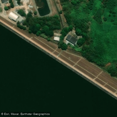
Paddle smarter with real-time insights
Whether you're en route and conditions shift or you're looking for the best spot based on current flows, we enable you to make informed decisions on the fly.







Ceará licenses and regulations
No licenses or regulations available for Ceará.
Find Places to Paddle

Over 400,000 Places to Paddle
Every user gets free access to launch points, boat ramps, and public property parcels.


Water and weather conditions (10 day forecast)
See the best times to paddle Açude Gavião and check the forecast before you go.
Açude Gavião
Paddling near Açude Gavião
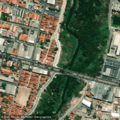
Rio Cocó
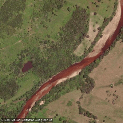
Rio Choró
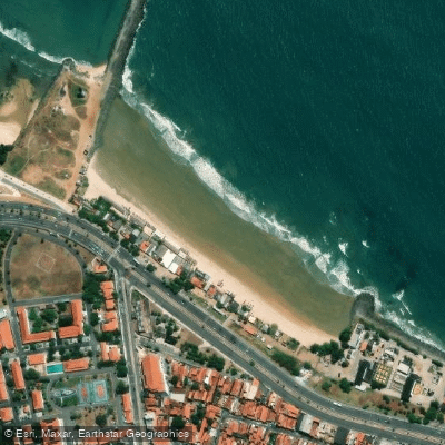
Praia Leste Oeste
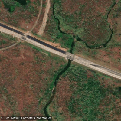
Rio Cauipe
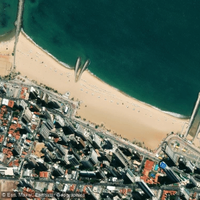
Praia de Iracema
Rio Malcozinhado
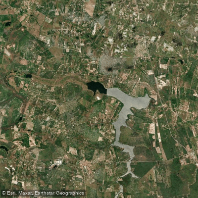
Açude Malcuzinhado
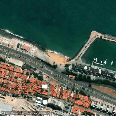
Praia do Marina
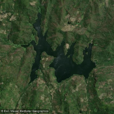
Açude Acarape Do Meio
Explore Ceará waters
Top paddling waters
No waters available right now.
Popular Cities
Loading popular cities...
Explore near Açude Gavião

Smarter Paddling Starts in the App.
Paddleways gives you everything you need to plan smarter, paddle better, and own every trip from first launch to takeout.