Açude Orós
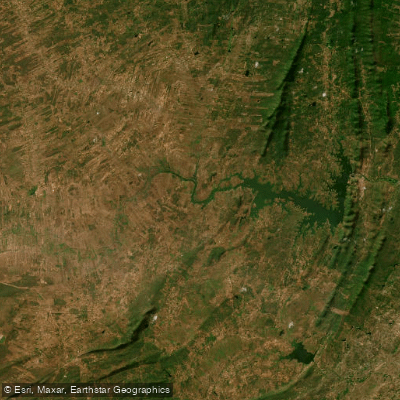
Açude Orós
- Boat Ramps
- 0
- Access Points
- 0
- Campsites
- 0
Açude Orós, officially named Açude Presidente Juscelino Kubistchek de Oliveira, is a large reservoir in the south-central interior of Ceará, Brazil, situated approximately 380–450 km from Fortaleza. It was formed by damming the Rio Jaguaribe and completed in January 1961. With a storage capacity of approximately 1.94 billion cubic metres, it ranks as the second largest reservoir in Ceará, behind only the Castanhão. The reservoir is broad and expansive, set against the characteristically arid landscape of the sertão, where the contrast between the dry, scrubby caatinga terrain and the wide open water is a defining visual feature.
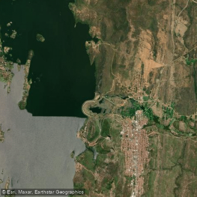
The reservoir sits near the small municipality of Orós, which can be reached from Iguatu (roughly 25 km away) via well-maintained roads. The BR-116 from Fortaleza to Iguatu is paved and in good condition. Small boats can be rented locally for around R$100–200 per day, and there are multiple access ramps around the reservoir. The town of Orós is small and simple, so paddlers are advised to bring their own equipment rather than relying on local outfitters.
The reservoir supports active freshwater fishing, including tucunaré (introduced in the 1980s), tilápia, and native species such as curimatã. Fishing activity, including the use of traps (covos) for freshwater shrimp in the Rio Jaguaribe channel near the reservoir, is common and should be anticipated on the water. The reservoir serves multiple purposes including perennializing the Rio Jaguaribe, irrigation, aquaculture, agriculture, tourism, and hydroelectric use, meaning boat traffic and working vessels may be present.
Water levels vary significantly with rainfall patterns. In years of good rainfall, the reservoir fills and can overflow its spillway — an event of regional significance that draws visitors. During the dry season, water levels drop and fish concentrate, which increases fishing pressure on the water. Paddlers planning a visit should account for these seasonal fluctuations, as water levels can affect access points and the overall extent of navigable water. A historical museum in Orós documents the reservoir's construction and a significant dam failure event, providing cultural context for those interested in the site's history.
Water access, boat ramps & amenities
Learn how to get on Açude Orós. Uncover great paddling access points, boat ramps, and all the facilities you need for an unforgettable day on the water. Some locations shown may border or include private property. Always check property boundaries and applicable regulations before visiting. PaddleWays's Public & Private Land layer can help you plan your access with confidence.
Paddle smarter with real-time insights
Whether you're en route and conditions shift or you're looking for the best spot based on current flows, we enable you to make informed decisions on the fly.







Ceará licenses and regulations
No licenses or regulations available for Ceará.
Find Places to Paddle

Over 400,000 Places to Paddle
Every user gets free access to launch points, boat ramps, and public property parcels.


Water and weather conditions (10 day forecast)
See the best times to paddle Açude Orós and check the forecast before you go.
Orós - Tunel
All Flow Stations
Paddling near Açude Orós
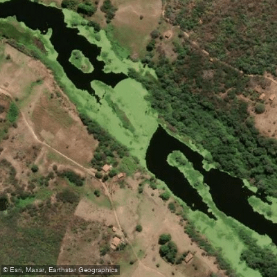
Rio Jaguaribe
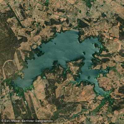
Açude Ubaldinho
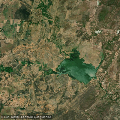
Açude Lima Campos
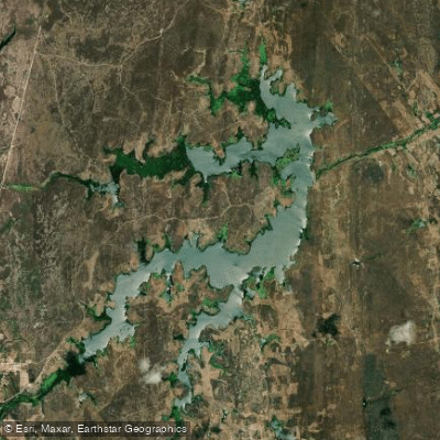
Açude Riacho Do Sangue
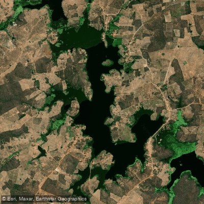
Açude Faé
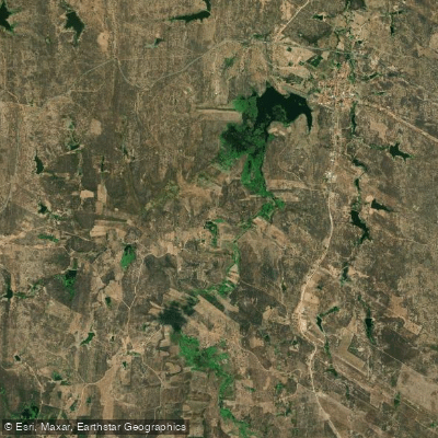
Açude Joaquim Távora
Açude São José Ii
Açude Rivaldo De Carvalho
Açude Riacho Do Tigre
Explore Ceará waters
Top paddling waters
No waters available right now.
Popular Cities
Loading popular cities...
Explore near Açude Orós

Smarter Paddling Starts in the App.
Paddleways gives you everything you need to plan smarter, paddle better, and own every trip from first launch to takeout.