Açude Taquara
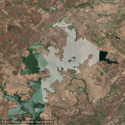
Açude Taquara
- Boat Ramps
- 0
- Access Points
- 0
- Campsites
- 0
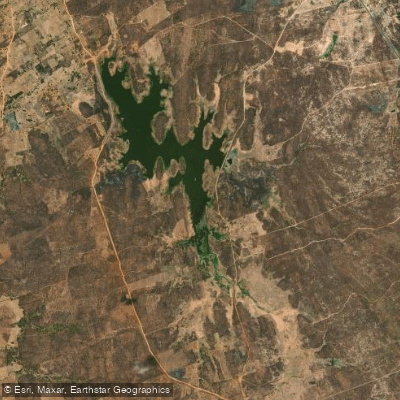
Açude Taquara is a large reservoir in the municipality of Cariré, in the northern region of Ceará, Brazil. It sits on the upper course of the Rio Jaibaras, a left-bank tributary of the Rio Acaraú. The dam axis is located approximately 1.5 km from the district of Arariús, at coordinates roughly 3°53'S, 40°30'W. Construction began in 2008 and was completed in March 2012, carried out by the Departamento Nacional de Obras Contra as Secas (DNOCS). The reservoir has a total storage capacity of approximately 274 to 320 million cubic meters, making it the second largest reservoir in the northern region of Ceará. It also incorporates a small hydroelectric plant with a generating capacity of 860 kilowatts, operated by the Companhia de Gestão dos Recursos Hídricos.
Access from Fortaleza is via the BR-222 highway to Sobral, then the CE-071 toward Cariré (approximately 36 km), followed by a 15 km unpaved road to Arariús. This final stretch is a rough track that becomes submerged when the reservoir reaches high water levels, which can isolate the district of Arariús entirely. Paddlers should be aware of this access limitation during periods of high rainfall and elevated water levels.
One water quality concern is eutrophication, resulting from incomplete clearing of vegetation in the reservoir basin prior to filling. Submerged organic matter can affect water quality, and this is a factor worth considering for any water-contact activities. The reservoir has never reached its full storage volume since construction, indicating that water levels vary considerably depending on seasonal rainfall patterns in the semi-arid region.
The surrounding landscape is characteristic of the Ceará semi-arid interior, and the reservoir serves primarily as a water supply and agricultural resource for Cariré and neighboring municipalities including Mucambo and Pacujá. No specific paddling infrastructure, designated launch points, or paddling regulations exist for this reservoir.
Water access, boat ramps & amenities
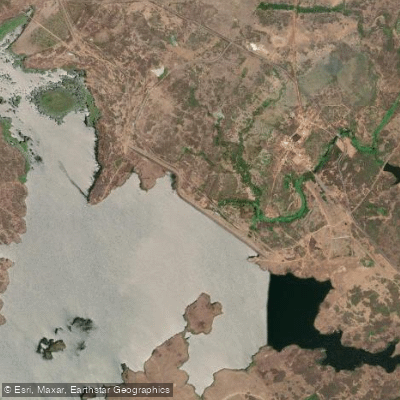
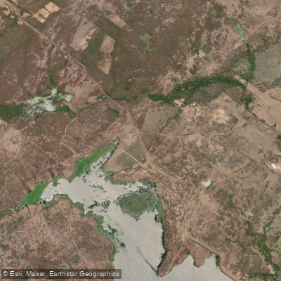
Learn how to get on Açude Taquara. Uncover great paddling access points, boat ramps, and all the facilities you need for an unforgettable day on the water. Some locations shown may border or include private property. Always check property boundaries and applicable regulations before visiting. PaddleWays's Public & Private Land layer can help you plan your access with confidence.
Paddle smarter with real-time insights
Whether you're en route and conditions shift or you're looking for the best spot based on current flows, we enable you to make informed decisions on the fly.







Ceará licenses and regulations
No licenses or regulations available for Ceará.
Find Places to Paddle

Over 400,000 Places to Paddle
Every user gets free access to launch points, boat ramps, and public property parcels.


Water and weather conditions (10 day forecast)
See the best times to paddle Açude Taquara and check the forecast before you go.
Açude Taquara
Paddling near Açude Taquara
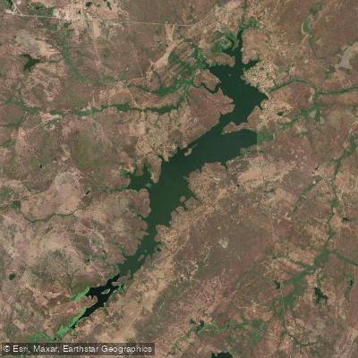
Açude Aires De Souza
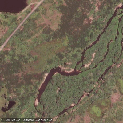
Rio Aracatiaçu
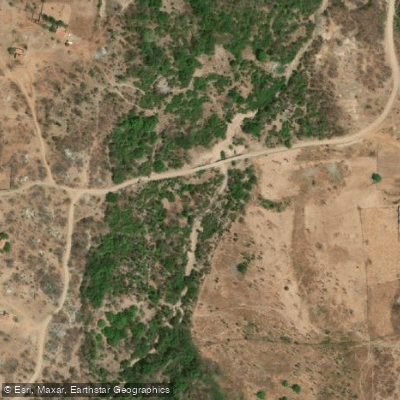
Rio do Pajé
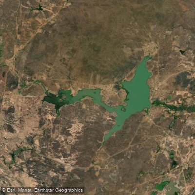
Açude Acaraú-Mirim
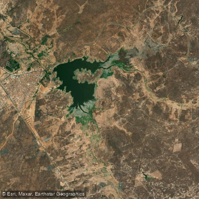
Açude Forquilha
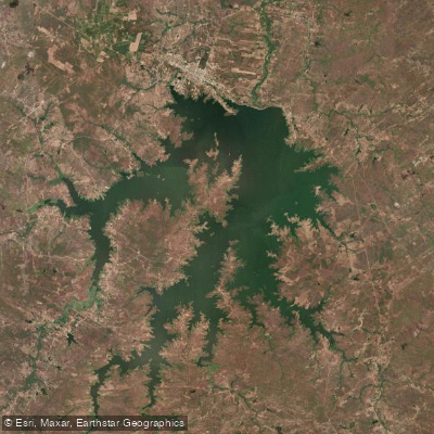
Açude Araras
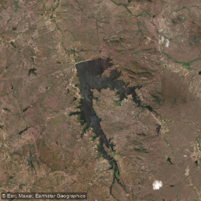
Açude Edson Queiroz
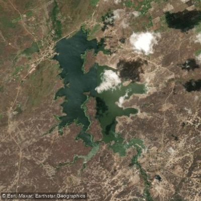
Açude Tucunduba
Açude Arrebita
Explore Ceará waters
Top paddling waters
No waters available right now.
Popular Cities
Loading popular cities...
Explore near Açude Taquara

Smarter Paddling Starts in the App.
Paddleways gives you everything you need to plan smarter, paddle better, and own every trip from first launch to takeout.