Rio Piraquê-Açu
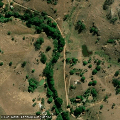
Rio Piraquê-Açu
- Boat Ramps
- 0
- Access Points
- 0
- Campsites
- 0
The Rio Piraquê-Açu is the largest and most significant estuary along the northern coast of Espírito Santo, located approximately 85 km north of Vitória near the district of Santa Cruz in the municipality of Aracruz. The river flows from its source in Espírito Santo state to its mouth at the Atlantic Ocean at coordinates 19°57′05″S 40°09′09″W. Together with the smaller Rio Piraquê-Mirim, it forms an extensive mangrove system that is protected as the Reserva de Desenvolvimento Sustentável Municipal Piraquê-Açu e Piraquê-Mirim.
The river is an estuarine environment where freshwater mixes with saltwater, creating a biologically rich habitat. The mangrove channels and their narrow passages are accessible by kayak, making the river well suited to paddlers who want to explore the interior of the mangrove system. The mixing of fresh and salt water supports a diverse array of species including robalo (snook), tainha (mullet), carapeba, and badejo, so paddlers will share the water with active sport fishers, particularly in the mangrove channels and near the river mouth. Boat ramps are available in the Santa Cruz area, and the river also sees larger commercial tour vessels — credentialed schooners carrying up to 70 passengers operate daily between 10h and 16h, stopping at a floating platform for swimming.
Part of the river basin falls within the Augusto Ruschi Biological Reserve, a fully protected conservation area covering 3,562 hectares. Paddlers should be aware that while sport fishing is permitted in designated areas of the reserve, the protected status of the surrounding mangrove system likely carries restrictions on access and activity within certain zones.
The river has attracted enough local paddling interest to support organized events; the municipality of Aracruz has hosted kayak gatherings on the Rio Piraquê-Açu at Santa Cruz, with early morning start times around 06h. The estuary's tidal dynamics affect water depth noticeably — at Praia da Balsa, located at the river's margins near Santa Cruz, low tide typically occurs in the morning, exposing sandbars. Paddlers planning to navigate shallower sections or access certain areas should account for tidal cycles when timing their outings.
To reach the river from Vitória, take the ES-010 north toward Serra, Fundão, and Aracruz, a drive of roughly 1 hour and 20 minutes.
Water access, boat ramps & amenities
Learn how to get on Rio Piraquê-Açu. Uncover great paddling access points, boat ramps, and all the facilities you need for an unforgettable day on the water. Some locations shown may border or include private property. Always check property boundaries and applicable regulations before visiting. PaddleWays's Public & Private Land layer can help you plan your access with confidence.
Paddle smarter with real-time insights
Whether you're en route and conditions shift or you're looking for the best spot based on current flows, we enable you to make informed decisions on the fly.







Espírito Santo licenses and regulations
No licenses or regulations available for Espírito Santo.
Find Places to Paddle

Over 400,000 Places to Paddle
Every user gets free access to launch points, boat ramps, and public property parcels.


Water and weather conditions (10 day forecast)
See the best times to paddle Rio Piraquê-Açu and check the forecast before you go.
Aracruz - Montante
All Flow Stations
Paddling near Rio Piraquê-Açu
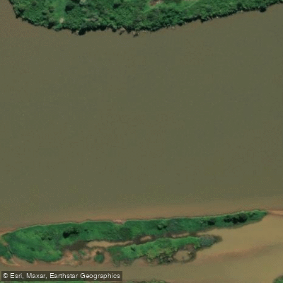
Rio Doce
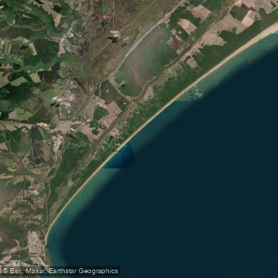
Praia dos Comboios
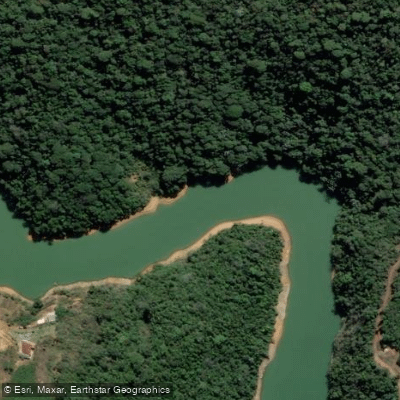
Rio Santa Maria da Vitória
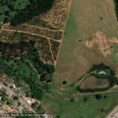
Rio Taquaraçu
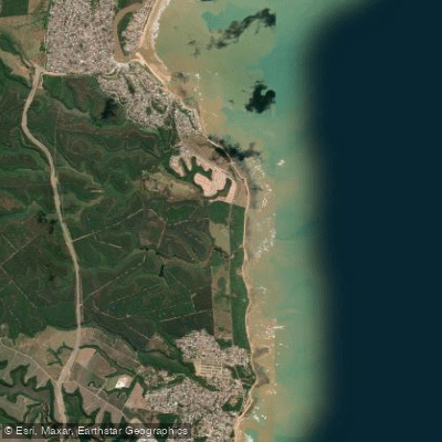
Praia Capuba
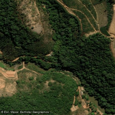
Rio Jucu Braço Norte
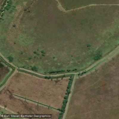
Rio Fundão ou Rio Reis Magos
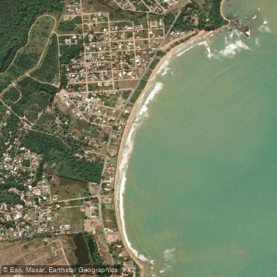
Praia do Rio Preto
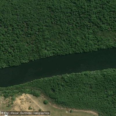
Rio Piraquê-Mirim
Explore Espírito Santo waters
Top paddling waters
No waters available right now.
Popular Cities
Loading popular cities...
Explore near Rio Piraquê-Açu

Smarter Paddling Starts in the App.
Paddleways gives you everything you need to plan smarter, paddle better, and own every trip from first launch to takeout.