Rio São Mateus
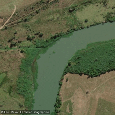
Rio São Mateus
- Boat Ramps
- 0
- Access Points
- 0
- Campsites
- 0
The Rio São Mateus is a significant river in the state of Espírito Santo, Brazil, flowing for 224 kilometers. It is formed by the confluence of the Cricaré River and another tributary near the city of São Mateus, after which it continues northward. Historically, the river served as a vital transportation route for agricultural products like flour and sugar. For paddlers, the river offers access points and boat ramps, with specific launch and takeout locations available for trip planning. The river passes through varied landscapes, including areas near the coastal Abrolhos National Marine Park and Guriri Beach, suggesting a mix of inland and coastal-influenced environments. The river's character is defined by its role as a historical conduit and its connection to the regional ecosystem. The presence of designated access points indicates it is a recognized waterway for recreational use. Paddlers should be aware of its historical and ongoing importance to the local communities along its course.
Water access, boat ramps & amenities
Learn how to get on Rio São Mateus. Uncover great paddling access points, boat ramps, and all the facilities you need for an unforgettable day on the water. Some locations shown may border or include private property. Always check property boundaries and applicable regulations before visiting. PaddleWays's Public & Private Land layer can help you plan your access with confidence.
Paddle smarter with real-time insights
Whether you're en route and conditions shift or you're looking for the best spot based on current flows, we enable you to make informed decisions on the fly.







Espírito Santo licenses and regulations
No licenses or regulations available for Espírito Santo.
Find Places to Paddle

Over 400,000 Places to Paddle
Every user gets free access to launch points, boat ramps, and public property parcels.


Water and weather conditions (10 day forecast)
See the best times to paddle Rio São Mateus and check the forecast before you go.
Boca Da Vala
All Flow Stations
Paddling near Rio São Mateus
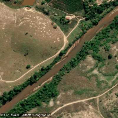
Rio Cricaré ou Braço Sul do Rio São Mateus
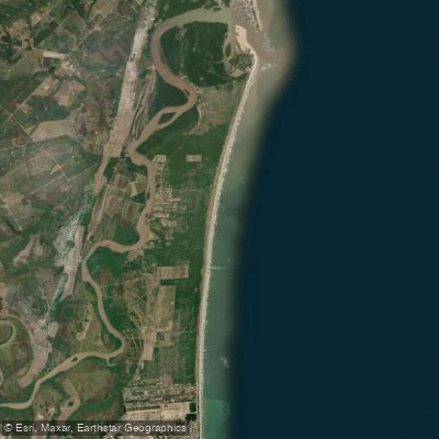
Praia Meleiras
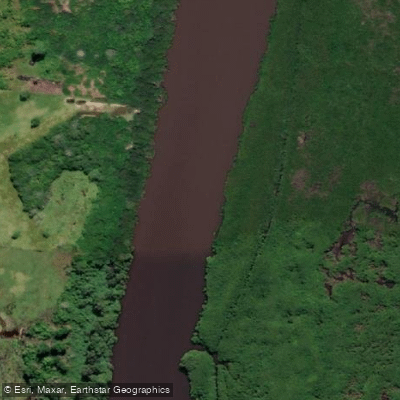
Rio Mariricu
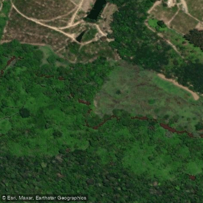
Rio Barra Seca
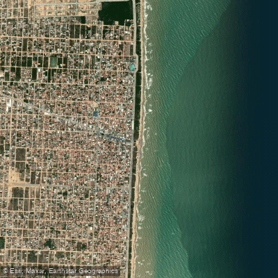
Praia de Guriri
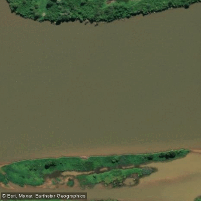
Rio Doce
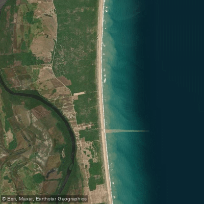
Praia Ranchinho
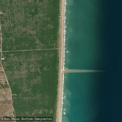
Praia do Caramujo
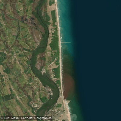
Praia da Gameleira
Explore Espírito Santo waters
Top paddling waters
No waters available right now.
Popular Cities
Loading popular cities...
Explore near Rio São Mateus

Smarter Paddling Starts in the App.
Paddleways gives you everything you need to plan smarter, paddle better, and own every trip from first launch to takeout.