Represa Serra Da Mesa
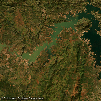
Represa Serra Da Mesa
- Boat Ramps
- 0
- Access Points
- 0
- Campsites
- 1
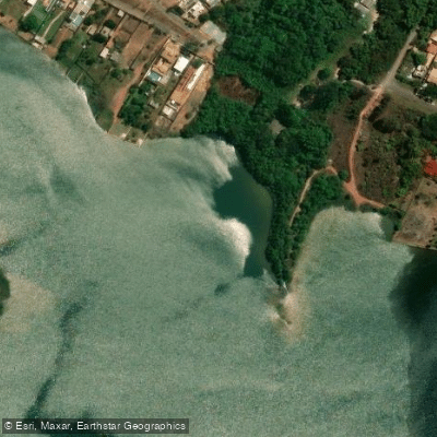
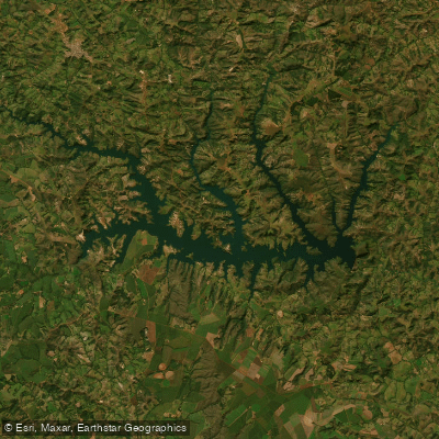
Represa Serra Da Mesa, also known as Lago Serra da Mesa, is a massive reservoir in the northern part of Goiás, Brazil, formed by the Serra da Mesa Dam on the Rio Tocantins. The dam, an embankment structure 154 meters high and 1,500 meters long, was constructed beginning in 1986 and began filling in October 1996, reaching full capacity in 1998. The reservoir is the largest in Brazil by volume of water, and the fifth largest by surface area, covering approximately 1,784 square kilometers. Its waters were created by impounding the Rio Tocantins along with the Rio das Almas and Rio Maranhão.
The lake is centered primarily within the municipality of Niquelndia, located roughly 300 kilometers from Goiânia. The reservoir extends across a landscape of cerrado highlands, with the water spreading between ranges of hills to create a broad, irregular shoreline. The scale of the lake gives it an open, almost maritime character unusual for an inland freshwater body in central Brazil.
The reservoir is an established destination for boat touring, sport fishing, and water sports. Blue peacock (tucunaré) are among the fish species present. Nearby natural attractions include Cachoeira do Muquém, Cachoeira São Bento, and Cachoeira Pai Chico, which add options for paddlers interested in combining water-based travel with visits to waterfalls in the surrounding region.
Road access to the area requires practical consideration, with some routes to the lake in poor condition. Paddlers planning a visit should verify current road conditions before traveling, particularly when approaching from more remote directions. The reservoir's enormous size means that open-water crossings can expose paddlers to significant wind and wave exposure, a relevant safety factor given the lake's fetch across open stretches. The hydroelectric plant at the dam is operated by Eletrobrás Furnas, and paddlers should be aware of the presence of dam infrastructure at the southern end of the reservoir.
Water access, boat ramps & amenities
Learn how to get on Represa Serra Da Mesa. Uncover great paddling access points, boat ramps, and all the facilities you need for an unforgettable day on the water. Some locations shown may border or include private property. Always check property boundaries and applicable regulations before visiting. PaddleWays's Public & Private Land layer can help you plan your access with confidence.
Paddle smarter with real-time insights
Whether you're en route and conditions shift or you're looking for the best spot based on current flows, we enable you to make informed decisions on the fly.







Goiás licenses and regulations
No licenses or regulations available for Goiás.
Find Places to Paddle

Over 400,000 Places to Paddle
Every user gets free access to launch points, boat ramps, and public property parcels.


Water and weather conditions (10 day forecast)
See the best times to paddle Represa Serra Da Mesa and check the forecast before you go.
Porto Uruaçu
All Flow Stations
Paddling near Represa Serra Da Mesa
Explore Goiás waters
Top paddling waters
No waters available right now.
Popular Cities
Loading popular cities...
Explore near Represa Serra Da Mesa
Access points
Nearby waters
More in Goiás

Smarter Paddling Starts in the App.
Paddleways gives you everything you need to plan smarter, paddle better, and own every trip from first launch to takeout.