Rio Araguaia
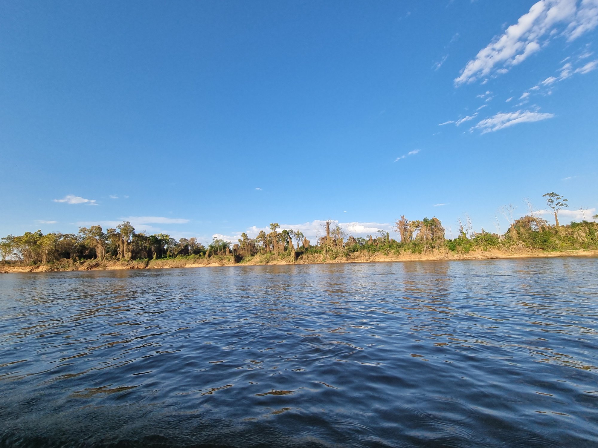
Rio Araguaia
- Boat Ramps
- 0
- Access Points
- 1
- Campsites
- 3
The Rio Araguaia originates in the Serra dos Caiapós within the Brazilian Highlands of eastern Mato Grosso state, at elevations around 800 meters near the town of Alto Araguaia. From there it flows north-northeast for approximately 2,627 kilometers, forming the border between Mato Grosso and Goiás before continuing through Tocantins and Pará. The river drains a vast portion of the Cerrado savanna and transitional forest zones, encompassing elements of the Cerrado, Pantanal, and Amazônia biomes. Its Tupi name, "rio das araras," reflects the extraordinary birdlife found along its banks.
The river is long and relatively shallow, lacking a firm riverbed, and its course includes many lakes, broad white-sand beaches, and oxbow formations. The major western arm is interrupted by numerous falls and rapids, making navigation challenging in places, while the smaller eastern channel is more navigable by small boats. During the wet season the river floods well beyond its banks, inundating surrounding forest. The dry season, running roughly from June to October, is generally considered the better period for paddling and wildlife observation, as seasonal beaches emerge and water levels stabilize.
A notable paddling route in the Mato Grosso section runs from Barra do Garças downstream toward Araguaiana, a stretch that has been used for multi-day kayak expeditions. This segment offers access to the river's characteristic wide, sandy beaches and open floodplain scenery. Barra do Garças serves as a practical base for trips in this part of the river.
Wildlife along the river is diverse and visible, including capybaras, caimans, giant otters, and black caimans. The birdlife is particularly rich, with herons, bem-te-vis, sabiás, azulões, uirapurus, and various migratory species present. The river supports nearly 300 species of fish, making it a significant destination for fishing tourism as well.
Paddlers should be aware that the river's upper and middle course presents falls and rapids that interrupt navigation, and seasonal flooding can dramatically alter conditions. The combination of remote stretches, variable water levels, and wildlife including large caimans warrants careful trip planning and appropriate safety preparation.
Water access, boat ramps & amenities
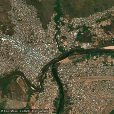
Learn how to get on Rio Araguaia. Uncover great paddling access points, boat ramps, and all the facilities you need for an unforgettable day on the water. Some locations shown may border or include private property. Always check property boundaries and applicable regulations before visiting. PaddleWays's Public & Private Land layer can help you plan your access with confidence.
Paddle smarter with real-time insights
Whether you're en route and conditions shift or you're looking for the best spot based on current flows, we enable you to make informed decisions on the fly.







Goiás licenses and regulations
No licenses or regulations available for Goiás.
Find Places to Paddle

Over 400,000 Places to Paddle
Every user gets free access to launch points, boat ramps, and public property parcels.


Water and weather conditions (10 day forecast)
See the best times to paddle Rio Araguaia and check the forecast before you go.
Pch Alto Araguaia Montante 2
All Flow Stations
Explore Goiás waters
Top paddling waters
No waters available right now.
Popular Cities
Loading popular cities...
Explore near Rio Araguaia
Access points
More in Goiás

Smarter Paddling Starts in the App.
Paddleways gives you everything you need to plan smarter, paddle better, and own every trip from first launch to takeout.