Golfão Maranhense
- Saltwater
- Bay
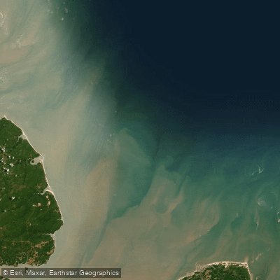
Golfão Maranhense
- Saltwater
- Bay
- Sq. miles
- 2,553
- Boat Ramps
- 0
- Access Points
- 0
- Campsites
- 0
Golfão Maranhense is a large coastal bay complex located in the state of Maranhão, Brazil. It is a region of significant geographical importance, containing the island of Upaon-Açu, where the city of São Luís is situated, and encompassing the major bays of São Marcos and São José de Ribamar. The area is noted for having the largest continuous mangrove forest in the world, which lines its shores. For paddlers, the most critical characteristic of the Golfão Maranhense is its extreme tidal range, "macro marés" with an amplitude exceeding six meters. This immense tidal fluctuation dictates that all trip planning must revolve around the tide tables, as currents will be exceptionally strong and water levels will change dramatically over a short period. Paddlers must be prepared to navigate vast exposed mudflats at low tide and powerful tidal flows. The bays within the Golfão, particularly São Marcos Bay, are major industrial and shipping hubs, featuring significant port infrastructure and mining complexes. Consequently, paddlers should expect substantial commercial vessel traffic and must exercise extreme caution, especially when crossing shipping channels. The water quality in parts of the bay, particularly near industrial areas like the Alumar mining complex, has been noted as a concern due to pollution. The region holds deep historical and cultural significance, evidenced by archaeological sites such as the Formoso stilt village, indicating a long history of human habitation adapted to this dynamic aquatic environment. Wildlife of interest includes the West Indian manatee, which inhabits the mangrove areas. There are no specific paddling restrictions mentioned, but the combination of massive tides, heavy ship traffic, and industrial activity demands a high level of skill, preparedness, and local knowledge for anyone venturing onto these waters.
Water access, boat ramps & amenities
Learn how to get on Golfão Maranhense. Uncover great paddling access points, boat ramps, and all the facilities you need for an unforgettable day on the water. Some locations shown may border or include private property. Always check property boundaries and applicable regulations before visiting. PaddleWays's Public & Private Land layer can help you plan your access with confidence.
Paddle smarter with real-time insights
Whether you're en route and conditions shift or you're looking for the best spot based on current flows, we enable you to make informed decisions on the fly.







Maranhão licenses and regulations
No licenses or regulations available for Maranhão.
Find Places to Paddle

Over 400,000 Places to Paddle
Every user gets free access to launch points, boat ramps, and public property parcels.


Tides, wind & water conditions (10 day forecast)
On open water, wind and tide matter as much as the weather. See the best times to paddle Golfão Maranhense and check the marine forecast before you launch.
Loading tide predictions…
Paddling near Golfão Maranhense
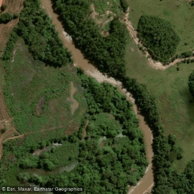
Rio Itapecuru
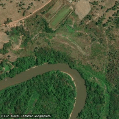
Rio Mearim
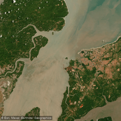
Baía de São Marcos
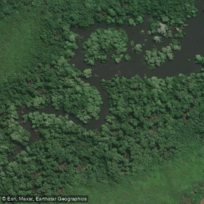
Rio Paciência
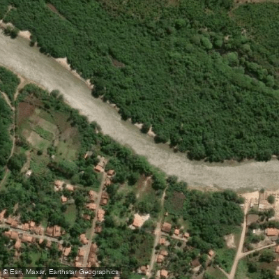
Rio Munim
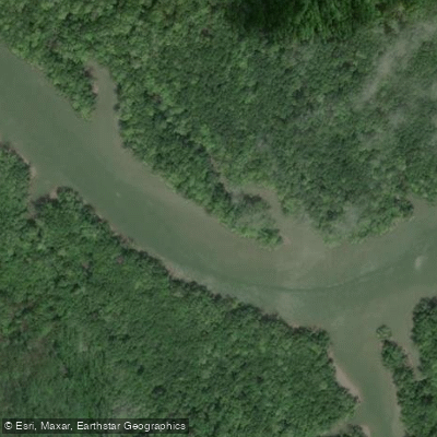
Rio Tibiri
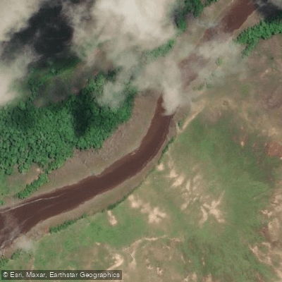
Rio Pericumã
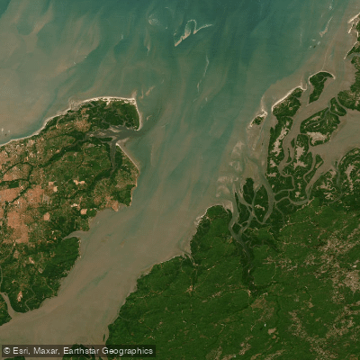
Baía de São José
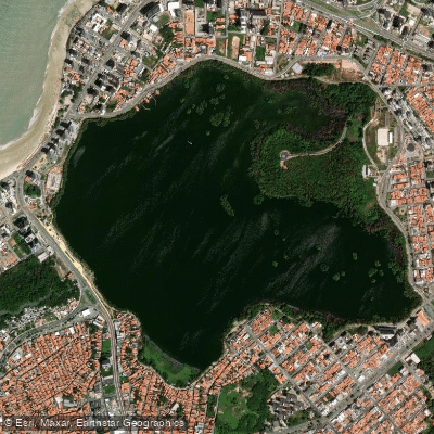
Lagoa Da Jansen
Explore Maranhão waters
Top paddling waters
No waters available right now.
Popular Cities
Loading popular cities...
Explore near Golfão Maranhense

Smarter Paddling Starts in the App.
Paddleways gives you everything you need to plan smarter, paddle better, and own every trip from first launch to takeout.