Rio Negro
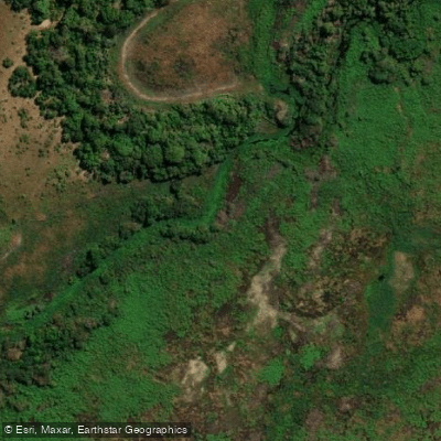
Rio Negro
- Boat Ramps
- 0
- Access Points
- 0
- Campsites
- 0
The Rio Negro is a significant river flowing through the state of Mato Grosso do Sul in southwestern Brazil. It is a central feature of the Pantanal, the world's largest tropical wetland area. The river's name, meaning "black river," hints at its aesthetic character, which is shaped by the surrounding landscape. A major portion of the river flows through the Pantanal do Rio Negro State Park, a protected area renowned for its exceptional biodiversity. The overall paddling experience here is defined by vast, seemingly endless waterways winding through a pristine and wildlife-rich environment. The vegetation is notably beautiful, and the area is most significant for its abundant wildlife and birdlife, including iconic species such as the Pantanal jaguar.
Access to the river for paddling is challenging. The primary gateway to the Pantanal do Rio Negro State Park and the river itself typically involves a combination of road and boat travel originating from the nearby cities of Aquidauana or Corumbá. These cities serve as the logistical bases for organizing trips into the region. Specific public access points, such as boat ramps and launch points, are available for paddlers. The rivers in this area are described as huge, indicating a substantial water volume and width that paddlers should be prepared for. Due to the remote and protected nature of the Pantanal, paddlers should anticipate limited facilities or amenities directly on the river and must plan for a self-sufficient expedition. The experience is best suited for those seeking immersion in a wild, undeveloped natural setting where the observation of flora and fauna is the primary attraction.
Water access, boat ramps & amenities
Learn how to get on Rio Negro. Uncover great paddling access points, boat ramps, and all the facilities you need for an unforgettable day on the water. Some locations shown may border or include private property. Always check property boundaries and applicable regulations before visiting. PaddleWays's Public & Private Land layer can help you plan your access with confidence.
Paddle smarter with real-time insights
Whether you're en route and conditions shift or you're looking for the best spot based on current flows, we enable you to make informed decisions on the fly.







Mato Grosso Do Sul licenses and regulations
No licenses or regulations available for Mato Grosso Do Sul.
Find Places to Paddle

Over 400,000 Places to Paddle
Every user gets free access to launch points, boat ramps, and public property parcels.


Water and weather conditions (10 day forecast)
See the best times to paddle Rio Negro and check the forecast before you go.
Perto Da Bocaina
All Flow Stations
Paddling near Rio Negro
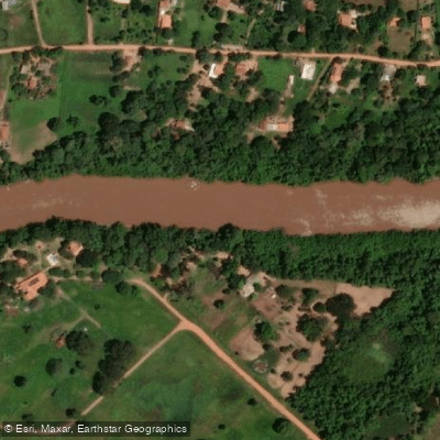
Rio Aquidauana
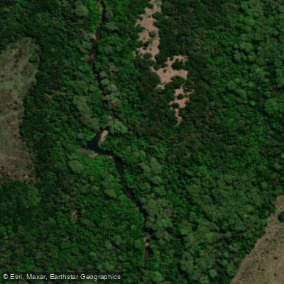
Rio Salobra
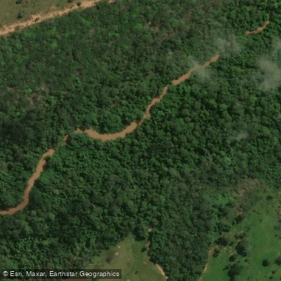
Rio Taboco
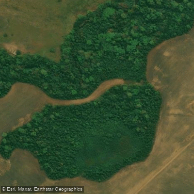
Rio Chapena
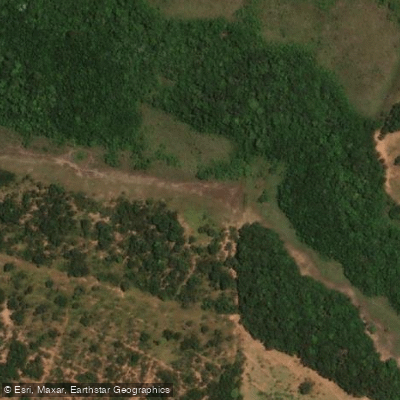
Ribeirão Salobra
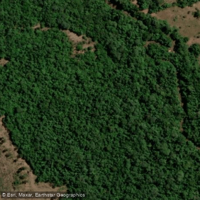
Rio Cachoeirão
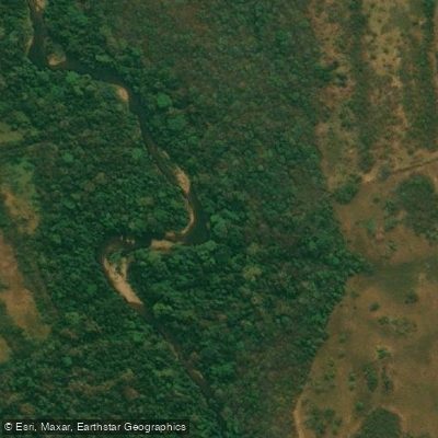
Rio do Peixe
Explore Mato Grosso Do Sul waters
Top paddling waters
No waters available right now.
Popular Cities
Loading popular cities...
Explore near Rio Negro
Nearby waters
More in Mato Grosso Do Sul

Smarter Paddling Starts in the App.
Paddleways gives you everything you need to plan smarter, paddle better, and own every trip from first launch to takeout.