Ribeirão Forquilha
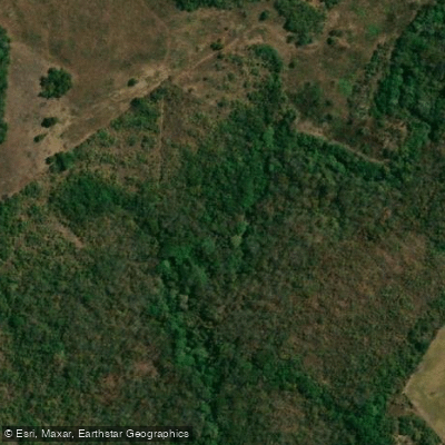
Ribeirão Forquilha
- Boat Ramps
- 0
- Access Points
- 0
- Campsites
- 0
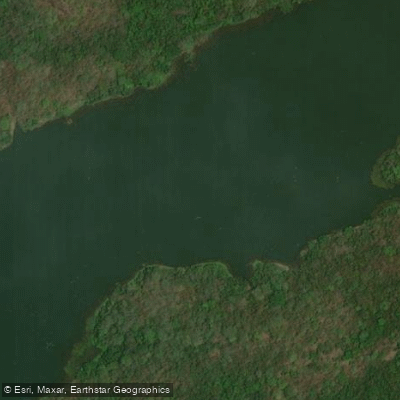
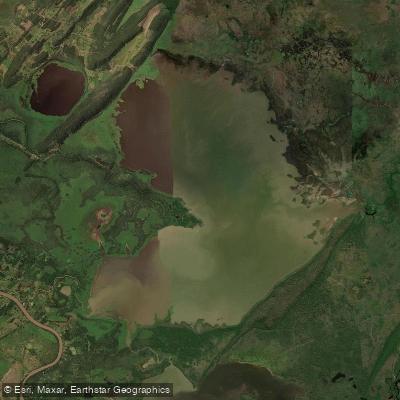
The Ribeirão da Forquilha is a stream located in the state of Mato Grosso, in the Central West region of Brazil. It flows through a landscape with an approximate elevation of 138 meters above sea level. Its geographical coordinates are roughly 16° 22' south latitude and 55° 47' west longitude, placing it in a central part of the country, approximately 800 kilometers from the capital, Brasília. As a stream, it is characterized by a flowing watercourse typical of the region's interior. The surrounding area is part of the vast Brazilian Central-West, a region known for its extensive cerrado (savanna) biome and agricultural frontiers. Specific details regarding access points, hazards, seasonal flow patterns, water quality, or facilities for paddlers are not available. The information indicates it is a natural watercourse in a remote part of Mato Grosso, suggesting a paddling experience that would likely be undeveloped and require significant self-sufficiency and advanced planning. Paddlers considering this stream should be prepared for a wilderness environment and must conduct extensive independent research to determine navigability, secure local permissions, and plan for all logistical and safety concerns, as no supporting infrastructure or regulated routes are described.
Water access, boat ramps & amenities
Learn how to get on Ribeirão Forquilha. Uncover great paddling access points, boat ramps, and all the facilities you need for an unforgettable day on the water. Some locations shown may border or include private property. Always check property boundaries and applicable regulations before visiting. PaddleWays's Public & Private Land layer can help you plan your access with confidence.
Paddle smarter with real-time insights
Whether you're en route and conditions shift or you're looking for the best spot based on current flows, we enable you to make informed decisions on the fly.







Mato Grosso licenses and regulations
No licenses or regulations available for Mato Grosso.
Find Places to Paddle

Over 400,000 Places to Paddle
Every user gets free access to launch points, boat ramps, and public property parcels.


Water and weather conditions (10 day forecast)
See the best times to paddle Ribeirão Forquilha and check the forecast before you go.
No forecast data available.
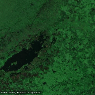
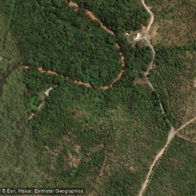
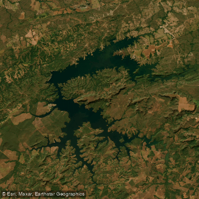
Explore Mato Grosso waters
Top paddling waters
No waters available right now.
Popular Cities
Loading popular cities...
Explore near Ribeirão Forquilha
More in Mato Grosso

Smarter Paddling Starts in the App.
Paddleways gives you everything you need to plan smarter, paddle better, and own every trip from first launch to takeout.