Rio Manso
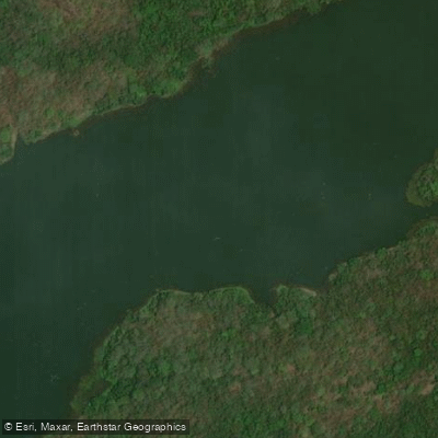
Rio Manso
- Boat Ramps
- 0
- Access Points
- 0
- Campsites
- 0
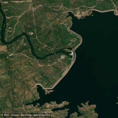
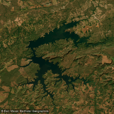
The Rio Manso is a substantial river in Mato Grosso, western Brazil, running approximately 850 kilometers before joining the Cuiabá River as a tributary. The river is impounded by the Manso Dam near Rosário Oeste, which creates a reservoir of 427 square kilometers powering a 92 MW hydroelectric facility. The surrounding landscape is characterized by rolling savanna and a large elevated plateau, typical of the Cerrado biome of central Brazil.
The river is located roughly 75 miles outside of Cuiabá, the state capital, making it reasonably accessible for those based in the city. The waters are crystal clear, with large schools of fish visible moving through the current — a reflection of the river's relatively preserved condition. Some stretches are rocky, and certain sections can run rough, so paddlers should exercise caution and consider engaging a knowledgeable local guide familiar with the river's character.
Mato Grosso experiences two distinct seasons. The dry season runs roughly from May through September, bringing hot, sunny days that can reach around 100°F (38°C) with cooler nights dropping into the 60s°F. The wet season spans approximately October through April, with significantly higher rainfall, elevated humidity, and somewhat cooler daytime temperatures due to cloud cover. The fishing season, which runs February through September with May and September considered peak months, offers a useful proxy for when river conditions are generally favorable for water-based activity.
Pousada Rio Manso, situated directly on the riverbank, provides boat access to the water and employs experienced local pilots and guides. The state of Mato Grosso has maintained protections for the river's fishery for over a decade, which has contributed to the overall health and conservation of the waterway.
Water access, boat ramps & amenities
Learn how to get on Rio Manso. Uncover great paddling access points, boat ramps, and all the facilities you need for an unforgettable day on the water. Some locations shown may border or include private property. Always check property boundaries and applicable regulations before visiting. PaddleWays's Public & Private Land layer can help you plan your access with confidence.
Paddle smarter with real-time insights
Whether you're en route and conditions shift or you're looking for the best spot based on current flows, we enable you to make informed decisions on the fly.







Mato Grosso licenses and regulations
No licenses or regulations available for Mato Grosso.
Find Places to Paddle

Over 400,000 Places to Paddle
Every user gets free access to launch points, boat ramps, and public property parcels.


Water and weather conditions (10 day forecast)
See the best times to paddle Rio Manso and check the forecast before you go.
Uhe Manso Montante
All Flow Stations
Explore Mato Grosso waters
Top paddling waters
No waters available right now.
Popular Cities
Loading popular cities...
Explore near Rio Manso
Nearby waters
More in Mato Grosso

Smarter Paddling Starts in the App.
Paddleways gives you everything you need to plan smarter, paddle better, and own every trip from first launch to takeout.