Rio Arapiuns

Rio Arapiuns
- Boat Ramps
- 0
- Access Points
- 0
- Campsites
- 1
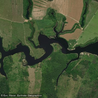
The Rio Arapiuns is a blackwater river in Pará state, north-central Brazil, flowing as a tributary of the Rio Tapajós. It joins the Tapajós approximately 30 kilometers before the Tapajós itself merges with the Amazon River. The river's coordinates place it near 2°18′S, 55°00′W, in the greater Santarém region.
The confluence of the Rio Arapiuns and the Rio Tapajós is a notable feature for paddlers: depending on wave conditions, the meeting of the two rivers can resemble open-sea conditions, which warrants caution for those in smaller craft. The river's blackwater character gives it a distinctive dark appearance typical of tannin-rich Amazonian tributaries.
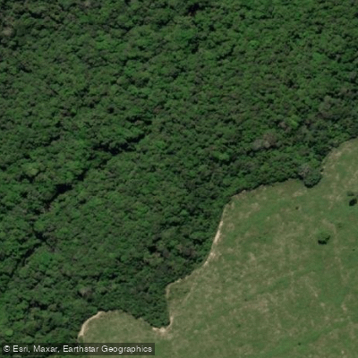
The banks of the Rio Arapiuns are lined with numerous beaches, among the most well-known being Praia do Icuxi, Praia da Ponta do Toronó, and Praia da Ponta Grande. The surrounding landscape is dense Amazonian rainforest, and the river corridor passes through or near several indigenous and traditional communities, including the village of Urucureá and the community of Carão. The region is home to multiple indigenous peoples and sits within a broader area of recognized indigenous territories.
Wildlife along the river includes alligators, iguanas, parrots, monkeys, sloths, otters, and turtles, particularly in adjacent lakes and channels such as Lago do Jacare and the Canal do Jari. The area around Ponta das Pedras and Lago Tapari also offers notable natural scenery. Giant water lilies are present in certain sections.
Organized tours operating out of Alter do Chão and Santarém access the river by motorized boat, typically as full-day or multi-day excursions. Kayaking and canoeing are offered as activities in the broader Alter do Chão area, which serves as a practical base for paddling trips on the Arapiuns. The river is accessible via the PA-257 road near Santarém. Community-based tourism is active along the river, with local residents engaged in agroextractive activities, and paddlers should be respectful of community lands and indigenous territories throughout the route.
Water access, boat ramps & amenities
Learn how to get on Rio Arapiuns. Uncover great paddling access points, boat ramps, and all the facilities you need for an unforgettable day on the water. Some locations shown may border or include private property. Always check property boundaries and applicable regulations before visiting. PaddleWays's Public & Private Land layer can help you plan your access with confidence.
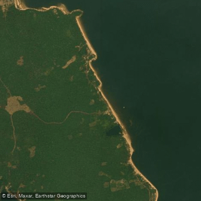
Paddle smarter with real-time insights
Whether you're en route and conditions shift or you're looking for the best spot based on current flows, we enable you to make informed decisions on the fly.







Pará licenses and regulations
No licenses or regulations available for Pará.
Find Places to Paddle

Over 400,000 Places to Paddle
Every user gets free access to launch points, boat ramps, and public property parcels.


Water and weather conditions (10 day forecast)
See the best times to paddle Rio Arapiuns and check the forecast before you go.
No forecast data available.
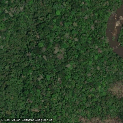

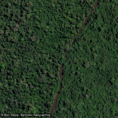

Explore Pará waters
Top paddling waters
No waters available right now.
Popular Cities
Loading popular cities...
Explore near Rio Arapiuns
Access points
Nearby waters
More in Pará

Smarter Paddling Starts in the App.
Paddleways gives you everything you need to plan smarter, paddle better, and own every trip from first launch to takeout.