Rio Marapanim
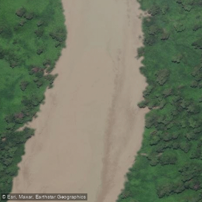
Rio Marapanim
- Boat Ramps
- 0
- Access Points
- 0
- Campsites
- 0
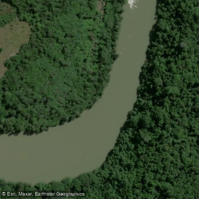
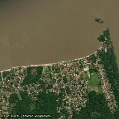
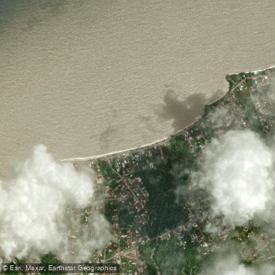
The Rio Marapanim is a river in the state of Pará, Brazil, rising in the municipality of São Francisco do Pará and flowing generally northward before entering the Atlantic Ocean just past the town of Marapanim, Pará, which sits on its left bank. The river's mouth is characterized by mud flats, and the broader estuary opens into Marapanim Bay near Maiandeua Island.
The surrounding area has a low population density of approximately 18 people per square kilometre. The climate is monsoon in character, with an average annual temperature of 24°C (75°F). September is the warmest month at around 25°C (77°F), while January is the coolest at roughly 22°C (72°F). Annual rainfall averages 3,146 millimetres, with March being the wettest month at 699 millimetres and October the driest at just 12 millimetres. Paddlers planning a trip should factor in this pronounced wet-dry seasonality, as March conditions will differ substantially from those in October.
The eastern side of Marapanim Bay is protected by the Maracanã Marine Extractive Reserve (30,179 hectares, established 2002) and, further south, the Cuinarana Marine Extractive Reserve. The western side falls within the Mestre Lucindo Marine Extractive Reserve (26,465 hectares, established 2014). Paddlers should be aware that these are designated marine extractive reserves, and any applicable regulations governing access or activity within their boundaries would need to be confirmed with the relevant Brazilian authorities before planning a trip.
Water access, boat ramps & amenities
Learn how to get on Rio Marapanim. Uncover great paddling access points, boat ramps, and all the facilities you need for an unforgettable day on the water. Some locations shown may border or include private property. Always check property boundaries and applicable regulations before visiting. PaddleWays's Public & Private Land layer can help you plan your access with confidence.
Paddle smarter with real-time insights
Whether you're en route and conditions shift or you're looking for the best spot based on current flows, we enable you to make informed decisions on the fly.







Pará licenses and regulations
No licenses or regulations available for Pará.
Find Places to Paddle

Over 400,000 Places to Paddle
Every user gets free access to launch points, boat ramps, and public property parcels.


Water and weather conditions (10 day forecast)
See the best times to paddle Rio Marapanim and check the forecast before you go.
Matapiquara
All Flow Stations
Paddling near Rio Marapanim
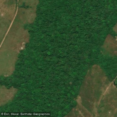
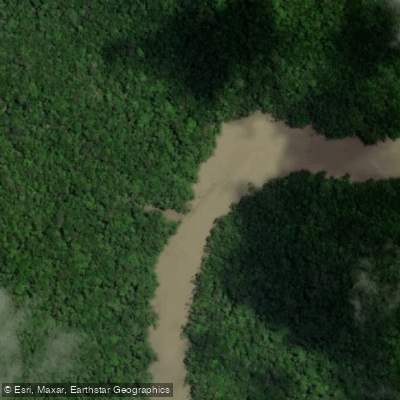
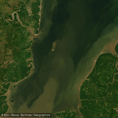
Explore Pará waters
Top paddling waters
No waters available right now.
Popular Cities
Loading popular cities...
Explore near Rio Marapanim

Smarter Paddling Starts in the App.
Paddleways gives you everything you need to plan smarter, paddle better, and own every trip from first launch to takeout.